Serbian 72nd Special Operations Brigade exercises along Drina River as US Ohio Guard official observes
What happened
Serbia's 72nd Special Operations Brigade conducted a training exercise along the Drina River, which forms the international border between Serbia and Bosnia and Herzegovina. The exercise included river crossings and cliff rappelling drills performed in full combat gear. The US Ohio National Guard adjutant general observed the training alongside Serbia's chief of general staff on September 19, 2026. Local reporting and satellite imagery suggest forces operated directly at the border, with some accounts indicating units crossed into Bosnian territory during the exercise.
Context and assessment
The Drina River has long served as a sensitive frontier between Serbia and Bosnia, with historical significance dating to the 1990s Balkans conflicts. Training exercises in this region carry symbolic weight in regional security discussions. The presence of a senior US National Guard official indicates continuation of the long-standing military partnership between the United States and Serbia, through which American armed forces regularly observe or participate in Serbian training activities. Such exercises may reflect Serbia's interest in demonstrating rapid-deployment and riverine assault capabilities to NATO and Western partners, though the stated purpose appears routine under existing bilateral defence cooperation frameworks.
Sources and confidence
Reported by Telegram channel @ClashReport on September 19, 2026. Single-source report with satellite imagery corroboration noted in original account. Confidence score of 7.0 reflects unconfirmed details regarding alleged border crossing into Bosnian territory. Confirmation from Serbian military statements or additional international media coverage would strengthen confidence; clarification on the US official's exact role would refine assessment.
Location
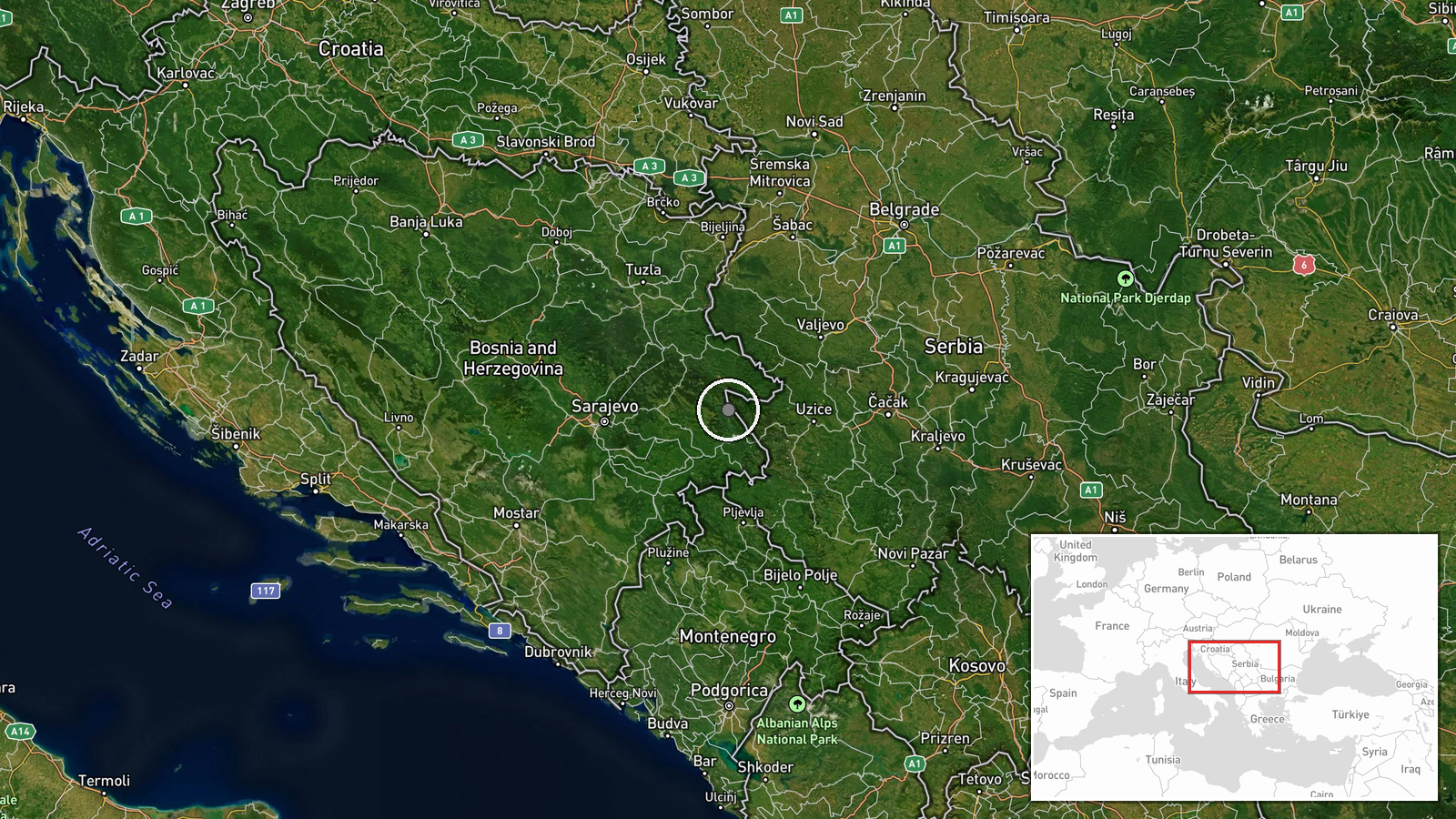
The Drina River, which forms the international boundary between Serbia and Bosnia and Herzegovina in the region south-southeast of the Serbian city of Užice. The exercise location was determined by reports of activity along this river border and satellite imagery. The area features steep terrain and significant elevation changes suitable for rappelling training. Coordinates place the reported activity in a remote section of the border zone in western Serbia.
▶ View this event on the live map
Intel Mapper aggregates open-source reports from monitored Telegram and X channels, geolocates them, cross-checks duplicates across sources and assigns a confidence score. Entries are updated as new confirmations arrive. Read how we verify events.