Russian drones strike Zaporizhzhia city, damaging university and shopping center
What happened
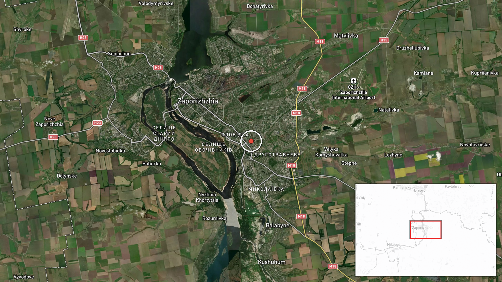
Russian unmanned aerial strikes hit Zaporizhzhia on September 21 at approximately 07:01 UTC, according to Telegram channel ClashReport. The strikes damaged a shopping center and the historic main building of Zaporizhzhia National University, located in the city center. Infrastructure damage was reported; no casualty figures were provided in the initial report.
Context and assessment
Zaporizhzhia city, located roughly 50 kilometers north of Russian-held territory, has faced repeated drone and missile strikes throughout 2026. The targeting of civilian infrastructure including commercial and educational facilities reflects Russia's continued air campaign against Ukrainian population centers. The strike follows a cruise missile strike on nearby Dnipro on September 20 and detection of multiple Shahed-type drones transiting the region on September 21, suggesting sustained pressure across central-eastern Ukraine. Attacks on universities and commercial centers may indicate either degradation of precision targeting or deliberate targeting of civilian morale.
Sources and confidence
Single source: Telegram channel ClashReport. Confidence score of 7.0 reflects reporting from an established conflict monitoring channel but absence of corroborating independent confirmation. Cross-confirmation from Ukrainian official sources or additional channels would strengthen confidence. Photographic or video evidence of damage would raise confidence to 8.0 or higher.
Location
Zaporizhzhia National University main campus, city center of Zaporizhzhia, Zaporizhzhia Oblast. Coordinates placed at university historic building (47.8175°N, 35.1842°E). The city sits approximately 50 kilometers north of the Dnipro River, which marks the approximate front line in this sector.
Related events nearby
- Correction: High-speed cruise missile strike on Dnipro, not ballistic. Ukrainian air monitoring detected incom2026-09-20 15:02 UTC · Ballistic Missile · Dnipro, Dnipropetrovsk Oblast, Ukraine
- Three Russian Shahed-type reactive (jet-powered) kamikaze drones detected in transit north of Pavlohrad, Dnipr2026-09-21 00:04 UTC · Drone Transit · Pavlohrad, Dnipropetrovsk Oblast, Ukraine
▶ View this event on the live map
Intel Mapper aggregates open-source reports from monitored Telegram and X channels, geolocates them, cross-checks duplicates across sources and assigns a confidence score. Entries are updated as new confirmations arrive. Read how we verify events.