Iran's IRGC claims destruction of U.S. MQ-1 drone; video released without verification
What happened
The Islamic Revolutionary Guard Corps (IRGC) published a video on Telegram claiming that a U.S. MQ-1 Lancer military drone was intercepted and destroyed on the morning of September 21. The IRGC did not specify the location or provide independent corroboration of the claim. The video's authenticity and the exact circumstances of the reported incident remain unverified.
Context and assessment
The claim emerges amid a volatile period in the Iraq-Syria border region, where U.S. military operations and Iranian-aligned forces maintain overlapping spheres of activity. The MQ-1 is a widely-deployed tactical reconnaissance and light-strike drone commonly used for surveillance missions in the region. On the same day, multiple explosions at a military ammunition depot near Al-Eis in southern Aleppo, Syria, occurred under unclear circumstances, suggesting broader instability across Syrian military infrastructure. Iranian claims of drone shootdowns are frequent; independent verification of such claims is often difficult and delayed. The geolocation precision is low, and a single source has reported the incident.
Sources and confidence
The claim was reported by Telegram channel @ClashReport on September 21. Only one source has reported the alleged incident; no cross-confirmation from other open-source channels, military statements, or independent observers is currently available. The confidence score of 7.0 reflects the single-source nature of the report and lack of video authentication. Verification would require corroborating statements from U.S. Central Command, coalition partners, or satellite imagery.
Location
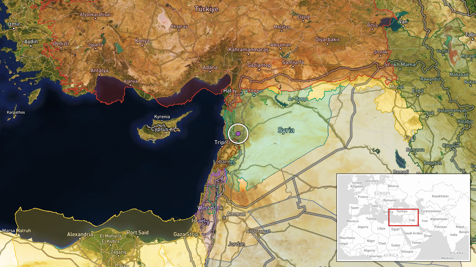
The location is unspecified in the IRGC's claim and estimated only as the broader Iraq-Syria border region based on typical U.S. drone operating areas. Geographic precision is low. The coordinates provided (34.89°N, 36.49°E) indicate southern Syria near the Iraq border, an area of active military operations and contested airspace.
▶ View this event on the live map
Intel Mapper aggregates open-source reports from monitored Telegram and X channels, geolocates them, cross-checks duplicates across sources and assigns a confidence score. Entries are updated as new confirmations arrive. Read how we verify events.