Sudan Armed Forces AKINCI drone downs UAE-backed RSF Chinese-made drone
What happened
The Sudan Armed Forces reportedly used an AKINCI drone system to shoot down a CH-95 unmanned aircraft operated by the RSF near Alga'a, east of Sawdiri in North Kordofan on 24 September 2026. The CH-95 is a Chinese-manufactured drone reportedly supplied to the RSF with UAE backing. According to the source, this marks the second confirmed air-to-air kill attributed to the SAF's AKINCI system during the ongoing civil conflict.
Context and assessment
Control of airspace and surveillance capabilities has been a significant asymmetry in Sudan's civil war. The RSF, primarily a ground-focused paramilitary force, has increasingly relied on drone reconnaissance and strikes, often supplied through regional backers including the UAE. The SAF's deployment of the AKINCI—a Turkish-manufactured armed reconnaissance platform—represents an attempt to contest this aerial advantage. Repeated claims of drone shootdowns by either side suggest intensifying air-to-air engagement, though such claims require independent verification. Sawdiri and surrounding areas in North Kordofan have been contested territory, and denial of enemy reconnaissance capability would be operationally significant for ground operations.
Sources and confidence
Single source: Telegram channel @ClashReport. No corroborating reports identified in available data. Confidence score of 7.0 reflects the exclusive nature and single-source reporting, balanced against the specificity of technical details and established pattern of air operations in the region. Confirmation by independent observers or second channels would substantially raise confidence.
Location
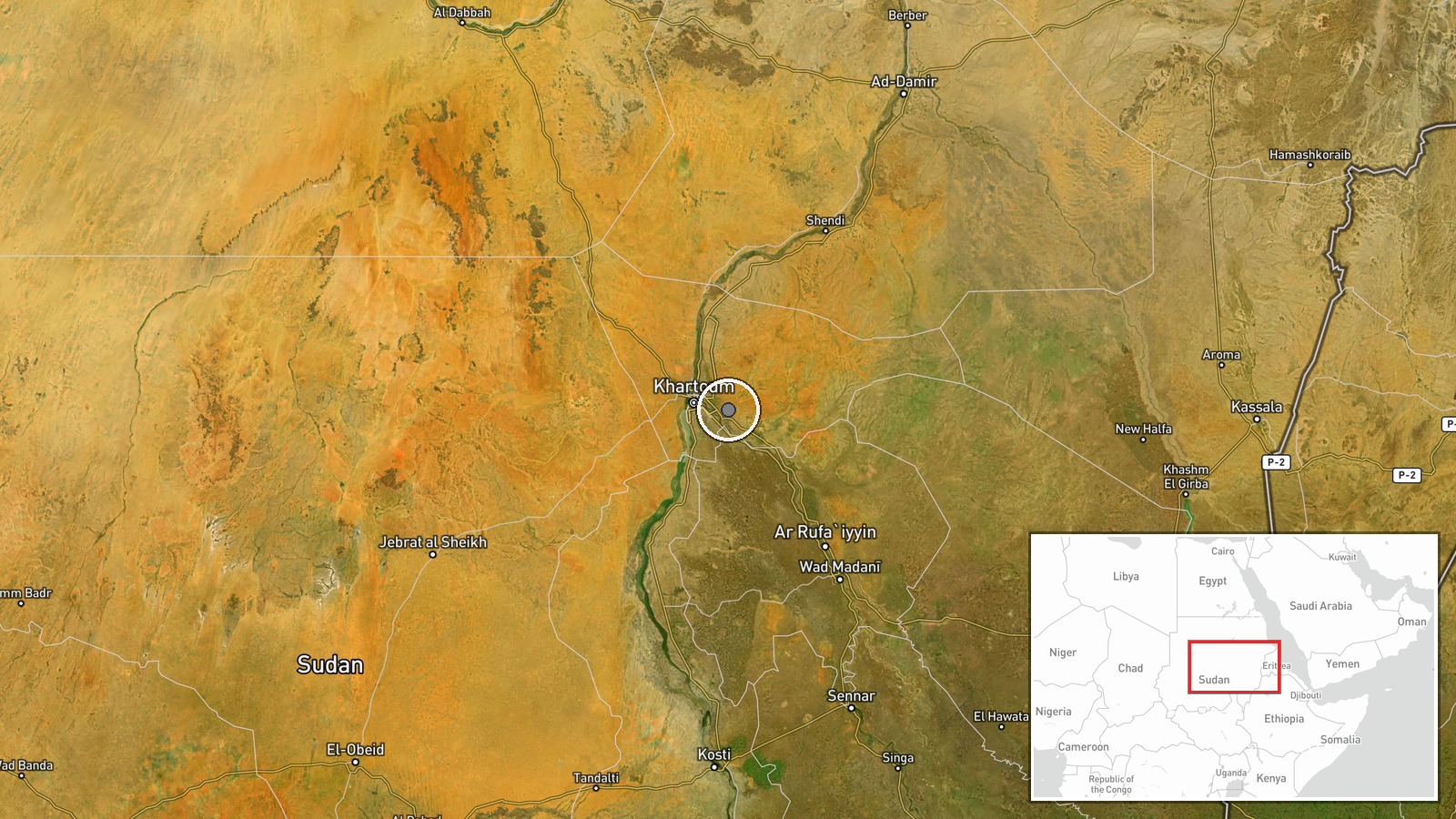
Alga'a area east of Sawdiri, North Kordofan State, northeastern Sudan. Geo-precision coded as regional (approximately 15.52°N, 32.77°E). Sawdiri is a reference point in semi-arid terrain; exact facility or coordinate precision not specified by source.
▶ View this event on the live map
Intel Mapper aggregates open-source reports from monitored Telegram and X channels, geolocates them, cross-checks duplicates across sources and assigns a confidence score. Entries are updated as new confirmations arrive. Read how we verify events.