Sudan Army claims CH-95 drone shootdown near Nyala in South Darfur
What happened
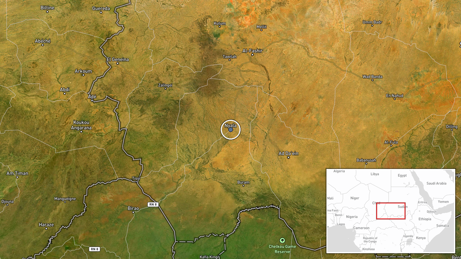
Sudan's armed forces reportedly used an AKINCI drone to shoot down a Chinese-made CH-95 unmanned aircraft near Nyala, South Darfur, on 26 September. The CH-95 was reportedly operated by the Rapid Support Forces (RSF), a paramilitary group backed by the United Arab Emirates. The incident was reported exclusively through a Telegram military channel. No details on damage, casualties, or operational consequences were provided.
Context and assessment
Nyala, the capital of South Darfur, has remained contested between Sudan's military and RSF forces throughout their ongoing conflict. Control of airspace and surveillance assets is operationally significant in a conflict where both sides rely on drones for reconnaissance and strike capability. The reported use of Turkish-origin AKINCI drones by the Sudanese Army reflects patterns of external support to government forces. Drone losses by either side typically indicate ongoing attempts at air operations despite the asymmetric nature of the conflict and may signal increased aerial activity in the region.
Sources and confidence
Single source: Telegram channel @ClashReport, marked as exclusive reporting. No cross-confirmation from other open-source channels or independent verification noted. Low source count and single-channel reporting limit confidence. Additional reporting from conflict monitors or visual evidence would strengthen assessment.
Location
Nyala settlement in South Darfur state, Sudan, located at approximately 12.05°N, 24.88°E. The city sits in western Sudan's Darfur region, historically a focal point of resource competition and armed activity. Nyala is a substantial population center and administrative hub, making it strategically relevant to territorial control.
▶ View this event on the live map
Intel Mapper aggregates open-source reports from monitored Telegram and X channels, geolocates them, cross-checks duplicates across sources and assigns a confidence score. Entries are updated as new confirmations arrive. Read how we verify events.