Sudan Army's AKINCI drone downs RSF CH-95 near Sawdiri
What happened
Sudan's army reportedly used an AKINCI drone to shoot down a Chinese-made CH-95 unmanned aerial system operated by the UAE-backed Rapid Support Forces (RSF) near Abo Jaleeb, south of Sawdiri in North Kordofan on 27 September 2026. The claim, reported exclusively by Telegram channel ClashReport, characterises the operation as a confirmed air defence success against RSF-operated unmanned systems.
Context and assessment
North Kordofan remains a contested zone in Sudan's ongoing conflict, with the RSF and allied forces competing for territorial control and supply routes. Drone operations have become increasingly central to the conflict, with both sides deploying reconnaissance and strike aircraft. The CH-95, a Chinese-designed system, represents commonly observed RSF aerial capabilities. Losses of such systems may constrain RSF reconnaissance operations in the region, though a single shootdown does not indicate a broader shift in air superiority. The use of an AKINCI drone—a Turkish-designed platform—by Sudan's forces reflects external military support patterns evident throughout the conflict.
Sources and confidence
Reported by Telegram channel ClashReport with exclusive attribution. Single-source reporting with no cross-confirmation currently available. Confidence score of 7.0 reflects the channel's track record but the absence of corroborating accounts. Confirmation from additional sources or RSF acknowledgement of losses would strengthen confidence.
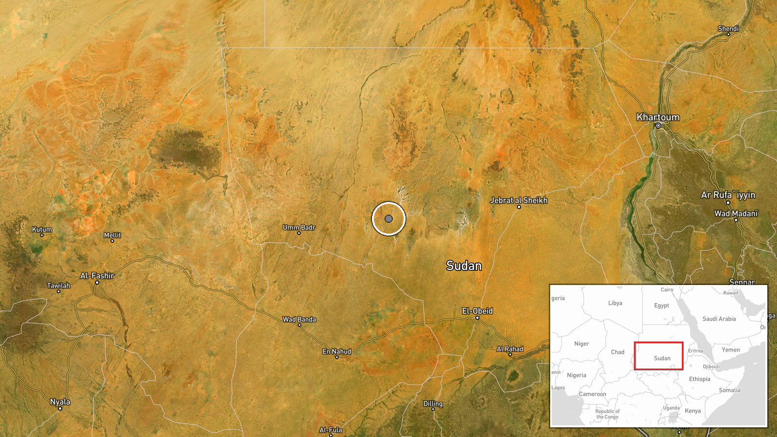
Location
Abo Jaleeb and Sawdiri are located in North Kordofan state in north-central Sudan. The area lies in semi-arid terrain typical of the region, approximately 300 kilometres south-southeast of Khartoum. Settlement-level precision indicates the incident occurred near these named populated places rather than a specific military installation.
▶ View this event on the live map
Intel Mapper aggregates open-source reports from monitored Telegram and X channels, geolocates them, cross-checks duplicates across sources and assigns a confidence score. Entries are updated as new confirmations arrive. Read how we verify events.