Tanker struck by unknown projectile in Strait of Hormuz, fire reported
What happened
The UK Maritime Trade Operations (UKMTO) received a report on October 1st that a tanker was struck by an unknown projectile while transiting the Strait of Hormuz, causing a fire aboard the vessel. The projectile's origin and the identity of the attacking actor remain unconfirmed. The incident was reported via Telegram and social media channels covering regional conflict.
Context and assessment
The Strait of Hormuz, a critical chokepoint for global oil shipments, has experienced heightened maritime tensions in recent months. This incident follows a pattern of attacks on commercial shipping in the waterway: earlier on the same day, three Liberian-flagged oil tankers (Al Ruwais, Mersin Prosperity, and Sinbad) were reportedly struck by unknown projectiles in the same area. The clustering of such incidents suggests a sustained campaign targeting merchant traffic, though attribution remains unclear. Maritime insurance premiums and shipping routes have been increasingly affected by these attacks, reflecting broader regional instability.
Sources and confidence
Two sources reported the incident: Telegram channel @ClashReport and X account @ConflictTR. The confidence score of 7.0 reflects limited corroboration and unconfirmed attribution. Cross-confirmation exists only between these two channels. Confirmation from official maritime authorities, vessel operator statements, or visual evidence would strengthen confidence. Lack of claimed responsibility or credible attribution assessment would lower it further.
Location
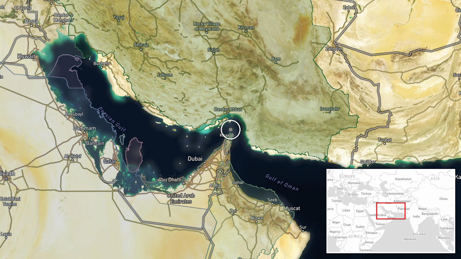
The Strait of Hormuz lies between Iran and Oman, connecting the Persian Gulf to the Gulf of Oman and Arabian Sea. The reported coordinates (26.55°N, 56.4°E) place the incident in the central strait region, one of the world's busiest shipping lanes. Precision is marked as low given the broad regional reporting; the exact attack location within the 90-mile-wide waterway remains unspecified.
Related events nearby
- Three Liberian-flagged oil tankers (Al Ruwais, Mersin Prosperity, Sinbad) struck by unknown projectiles while 2026-10-01 12:26 UTC · Naval · Strait of Hormuz, Persian Gulf
▶ View this event on the live map
Intel Mapper aggregates open-source reports from monitored Telegram and X channels, geolocates them, cross-checks duplicates across sources and assigns a confidence score. Entries are updated as new confirmations arrive. Read how we verify events.