Iranian pundit claims China provided satellite imagery for U.S. targeting, then withdrew support
What happened
An Iranian state television commentator with reported security connections claimed on October 4 that China secretly supplied satellite imagery enabling Iran to target U.S. forces, including in a strike that killed three American soldiers. According to the claim, Beijing subsequently suspended the cooperation after it was exposed, telling Tehran to resolve its dispute with Washington before seeking further assistance. China has denied providing military satellite support to Iran. The claim appeared on Telegram via @ClashReport and remains unconfirmed by independent verification.
Context and assessment
The allegation emerges amid a series of escalatory Iranian statements on October 3–4, including threats regarding the Strait of Hormuz, rejection of U.S. negotiation proposals, and warnings of Iranian expulsion from the region. If accurate, the claim would suggest a significant shift in Sino-Iranian military-intelligence cooperation and Beijing's willingness to distance itself from Tehran under U.S. pressure. The timing suggests Iranian frustration with reduced external support as tensions intensify. However, the statement may also reflect Iranian domestic political positioning or be part of a negotiating narrative to portray Iran as isolated. Verification requires corroboration from additional credible sources.
Sources and confidence
Single source: Telegram channel @ClashReport, citing an Iranian state TV pundit. No independent confirmation from U.S., Chinese, or other intelligence agencies. Confidence of 7.0 reflects the claim's serious nature but high uncertainty given unverified attribution, lack of cross-confirmation, and reliance on state media rhetoric. Confirmation from U.S. officials, Chinese statements, or satellite intelligence assessments would significantly raise confidence; contradictory statements from Beijing or Iranian officials would lower it.
Location
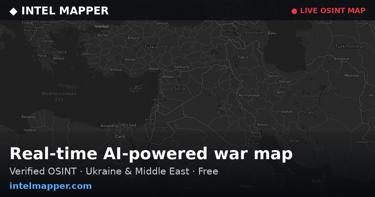
Tehran, Iran (35.6892°N, 51.3889°E). The claim originated from Iranian state media commentary in the capital. The geographic precision is settlement-level, as the statement itself was made in Tehran but refers to alleged support for operations in unspecified locations where U.S. forces are present.
Related events nearby
- Iranian Foreign Ministry conditionally ties reopening of Strait of Hormuz to U.S. cessation of obstruction of 2026-10-04 08:05 UTC · Statement · Tehran, Iran
- Iran's Parliament Speaker Ghalibaf rejects U.S. proposals via intermediaries, declares the era of negotiation 2026-10-04 06:40 UTC · Statement · Tehran, Iran
- Iranian President Pezeshkian claims Iran has resisted enemy economic warfare, stating that despite increased e2026-10-03 23:30 UTC · Statement · Tehran, Iran
- Senior Iranian MP Ebrahim Azizi declares Iran's expulsion from Afghanistan and Iraq is imminent, warning of to2026-10-03 17:07 UTC · Statement · Tehran, Iran
- Iranian military commander Amir Nakdi warns that if the U.S. acts rationally it will not attack Iran, but warn2026-10-03 12:40 UTC · Statement · Tehran, Iran
▶ View this event on the live map
Intel Mapper aggregates open-source reports from monitored Telegram and X channels, geolocates them, cross-checks duplicates across sources and assigns a confidence score. Entries are updated as new confirmations arrive. Read how we verify events.