Sudan Army's Bayraktar drone downs RSF's Chinese-made CH-95 near An Nahud
What happened
Sudan's armed forces reportedly used a Bayraktar AKINCI drone to shoot down a Chinese-manufactured CH-95 unmanned aircraft operated by the RSF (Rapid Support Forces) over the An Nahud region in South Kordofan state on October 5, 2026. The RSF, described as UAE-backed, has operated such reconnaissance and strike drones throughout the conflict. The incident marks a continuation of aerial engagements between the two sides in this theater.
Context and assessment
An Nahud sits in South Kordofan, a key battleground where the Sudan Army and RSF have competed for territorial control and resource access since the conflict's outbreak. The RSF's reliance on Chinese-made drone platforms—widely available in regional markets—reflects both the group's funding and the proliferation of such systems across African conflicts. The Sudan Army's possession of Turkish Bayraktar systems indicates access to more advanced military technology. Repeated shootdowns of RSF drones in this region suggest either sustained air operations by the RSF or concentrated counter-air efforts by government forces, though the operational scale remains unclear from single reports.
Sources and confidence
Reported exclusively by Telegram channel @ClashReport on October 5, 2026. Single-source reporting with no cross-confirmation noted. Confidence score of 7.0 reflects typical reliability of established conflict monitors but absence of independent verification. Corroboration from multiple channels or official statements would strengthen confidence; visual evidence or named witnesses would substantially raise it.
Location
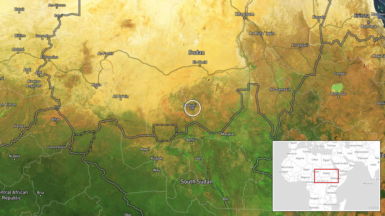
An Nahud, a town in South Kordofan state, northeastern Sudan. Located approximately 11.0°N, 29.8°E. The region lies within Sudan's central highlands, an area of historic pastoral and agricultural settlement. Precision rated as regional rather than specific due to the scale of drone operations and typical reporting imprecision in conflict zones.
▶ View this event on the live map
Intel Mapper aggregates open-source reports from monitored Telegram and X channels, geolocates them, cross-checks duplicates across sources and assigns a confidence score. Entries are updated as new confirmations arrive. Read how we verify events.