Ukraine strikes communications node in Crimea with UAS overnight
What happened
Ukrainian forces conducted an unmanned aerial strike against an enemy communications hub in Mirny, Crimea during the night of 31 August to 1 September 2026, according to the General Staff of the Armed Forces of Ukraine. The target was described as a signal node. Mirny is located in the eastern portion of the Crimean peninsula, an area under Russian control since 2014.
Context and assessment
Communications infrastructure remains a high-priority target for Ukraine throughout the conflict, as disrupting Russian command and control networks degrades operational coordination and battlefield awareness. Strikes on signal nodes and relay stations have been a consistent feature of Ukrainian air operations, particularly against rear-area targets beyond front-line positions. The targeting of such facilities in Crimea reflects Ukraine's continued effort to contest Russian control of the peninsula and degrade the logistical and administrative systems supporting Russian forces across southern Ukraine and occupied territories.
Sources and confidence
The strike was reported by the General Staff of the Armed Forces of Ukraine via Telegram. A single source limits independent cross-confirmation, though Ukrainian military channels have generally proven reliable on domestic strike operations. The confidence score of 8.0 reflects the official nature of the report but is moderated by lack of secondary verification. Satellite imagery or Russian acknowledgment would substantially increase confidence.
Location
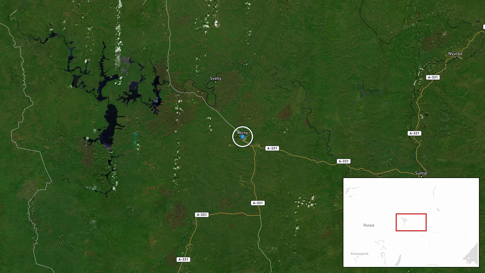
Mirny is a settlement in the eastern portion of Crimea, located approximately 100 kilometers northeast of Sevastopol and roughly 50 kilometers south of the Azov Sea coast. The settlement sits in a relatively flat, sparsely populated region of the peninsula. Geographic precision is marked as high based on settlement-level identification.
▶ View this event on the live map
Intel Mapper aggregates open-source reports from monitored Telegram and X channels, geolocates them, cross-checks duplicates across sources and assigns a confidence score. Entries are updated as new confirmations arrive. Read how we verify events.