Ukraine strikes Russian ammunition depot in Donetsk with unmanned aircraft
What happened
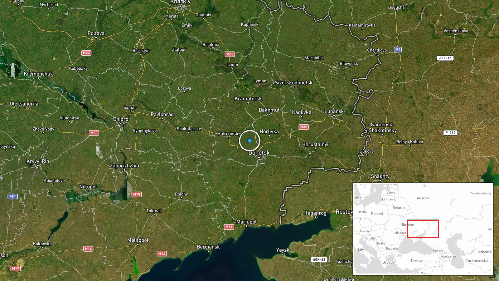
Ukrainian Defense Forces conducted unmanned aerial strikes against a Russian ammunition and materiel storage facility in Ocheretyne, Donetsk Oblast on September 1 and during the night of September 2, 2026. The strikes were reported by Ukraine's General Staff via official channels. The target was described as an enemy ammunition depot, a category of military installation routinely targeted by both sides in the ongoing conflict.
Context and assessment
Ammunition depots represent critical logistics nodes in the Donetsk conflict zone, where Russian forces maintain supply lines for sustained ground operations. Ocheretyne lies in territory held by Russian forces in central Donetsk. Strikes on such facilities aim to disrupt Russian combat sustainment and degrade operational tempo. The timing and persistence of the strikes—spanning two dates—suggests either repeated targeting or continuation of a multi-phase operation. Ukrainian forces have increasingly employed long-range unmanned systems to strike rear-area targets throughout 2026, reflecting a broader pattern of extending strike reach deeper into occupied territory.
Sources and confidence
Reported solely by Ukraine's General Staff on Telegram. Single-source confirmation limits independent verification of strike success or damage inflicted. No Russian response statement or third-party confirmation available. Confidence score of 8.0 reflects official Ukrainian source status and internal consistency, though lack of cross-confirmation and the inherent claim-making nature of wartime official statements warrant measured assessment.
Location
Ocheretyne is a settlement in Donetsk Oblast, Russia-controlled territory in the Donetsk region of eastern Ukraine. The coordinates place it in central Donetsk, approximately 20 kilometers southeast of Pokrovsk. The settlement sits within the broader Russian-held zone that includes major logistical hubs supporting frontline operations across the region.
▶ View this event on the live map
Intel Mapper aggregates open-source reports from monitored Telegram and X channels, geolocates them, cross-checks duplicates across sources and assigns a confidence score. Entries are updated as new confirmations arrive. Read how we verify events.