Ukrainian drones strike Russian repair facility in Luhansk Oblast
What happened
Ukrainian Armed Forces units struck a Russian repair and maintenance facility in Sorokove, Luhansk Oblast, on 4 September 2026 using unmanned aerial systems, according to the General Staff of the Armed Forces of Ukraine. The facility was operated by Russian occupying forces. The strike was reported via official Telegram channels and represents part of a sustained Ukrainian campaign targeting Russian logistics and support infrastructure across the eastern front.
Context and assessment
Repair and maintenance facilities are critical nodes in Russian military logistics, directly enabling sustained combat operations. Sorokove lies in Russian-occupied territory in eastern Luhansk Oblast, an area that has seen intense fighting since 2022. This strike occurred amid a broader pattern of Ukrainian deep-strike operations: on 3–4 September, Ukrainian forces targeted a drone launch facility near Donetsk and command posts in Donetsk and Luhansk oblasts. Simultaneously, Russian forces conducted 207 engagements across the eastern front on 4 September alone, suggesting high operational tempo on both sides. Strikes on repair bases may indicate Ukrainian efforts to degrade Russian ability to recover and redeploy damaged equipment, potentially offsetting Russian numerical advantages in some sectors.
Sources and confidence
Single official source: General Staff of the Armed Forces of Ukraine via Telegram. No independent cross-confirmation reported. Confidence score of 8/10 reflects the credibility of the official Ukrainian military channel but the absence of corroborating third-party reporting. Geotagged imagery, Russian acknowledgment, or independent analysis would substantially raise confidence.
Location
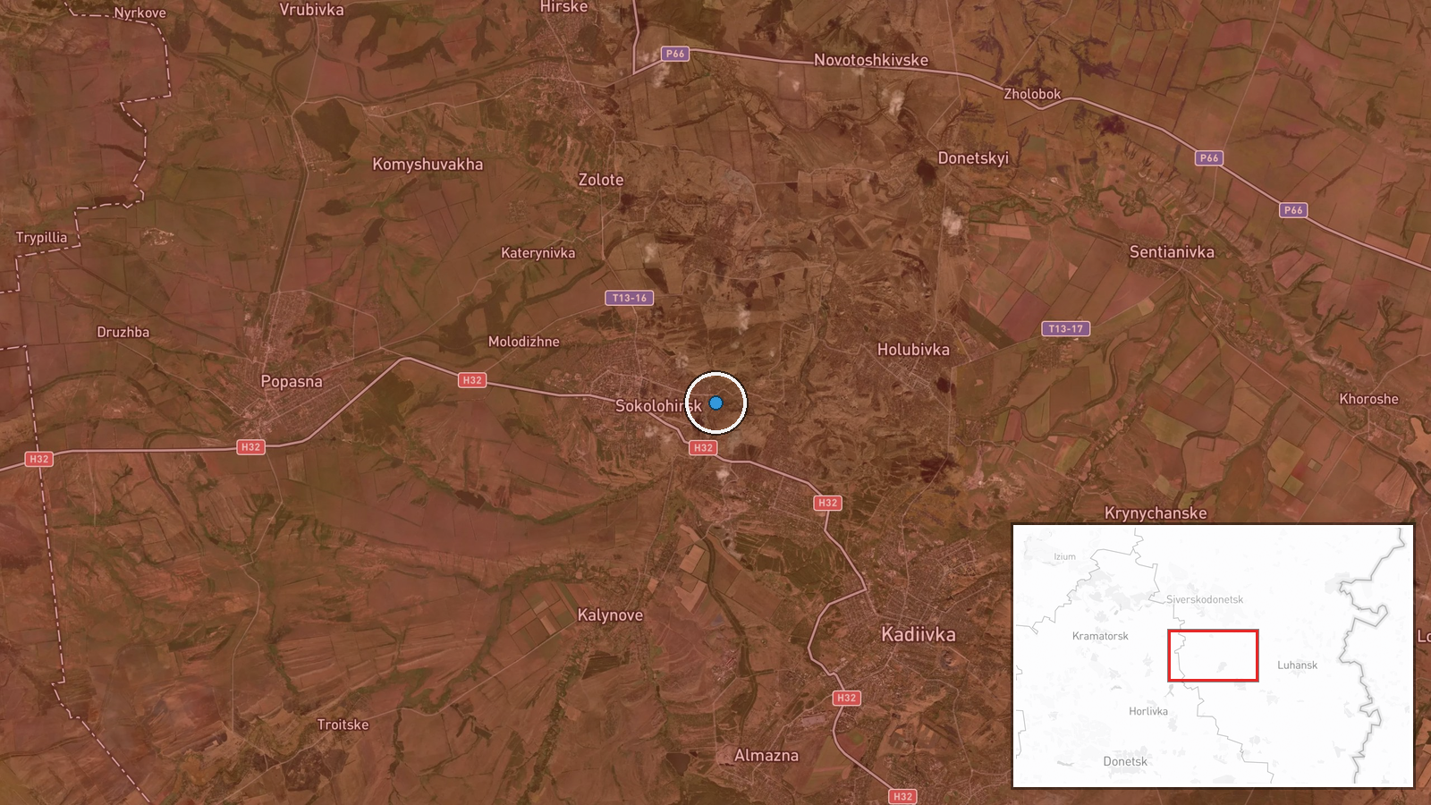
Sorokove is a settlement in occupied Luhansk Oblast, northeastern Ukraine, located at approximately 48.63°N, 38.56°E. The facility's exact position within or near the settlement was determined to normal precision. The location lies roughly 30 km north of the Siverskyi Donets River and in terrain typical of the Donbas region—relatively flat with scattered settlements and industrial sites.
Related events nearby
- Ukrainian General Staff operational summary (22:00 Sept 5): 209 combat clashes across all fronts. Russia condu2026-09-05 19:06 UTC · Statement · Eastern Ukraine (Multiple Fronts)
▶ View this event on the live map
Intel Mapper aggregates open-source reports from monitored Telegram and X channels, geolocates them, cross-checks duplicates across sources and assigns a confidence score. Entries are updated as new confirmations arrive. Read how we verify events.