Ukrainian forces strike Russian patrol boat in Sevastopol's Kozachi Bay
What happened
Ukrainian forces reportedly struck a Russian Project 12150 Mangust-class patrol boat in Kozachi Bay near Sevastopol, Crimea, according to the Ukrainian General Staff. The Mangust is a fast attack craft used for coastal patrol and transport missions. The General Staff statement indicated that damage assessment was ongoing at the time of the report, without providing further details on the extent of any damage or the method of attack employed.
Context and assessment
Kozachi Bay lies within Sevastopol's harbor complex, historically Russia's primary Black Sea Fleet anchorage. Ukrainian naval operations in the region have intensified over recent months, targeting Russian vessels and coastal infrastructure through drone strikes and missile attacks. The Mangust-class vessels are valued assets for Russian littoral operations and logistics. This strike aligns with a broader pattern of Ukrainian attacks on Russian military assets in Crimea, including a reported simultaneous strike on a signals intelligence antenna complex in Olenivka. Such operations aim to degrade Russian operational capacity and constrain fleet movements in contested waters.
Sources and confidence
Reported by the Ukrainian General Staff via Telegram, a single official source. Cross-confirmation from independent observers or Russian statements is not documented. The confidence score of 8.0 reflects the credibility of the Ukrainian General Staff as an official source, though lack of independent verification and pending damage assessment introduce some uncertainty. Additional reporting from Russian sources or photographic evidence would strengthen confidence.
Location
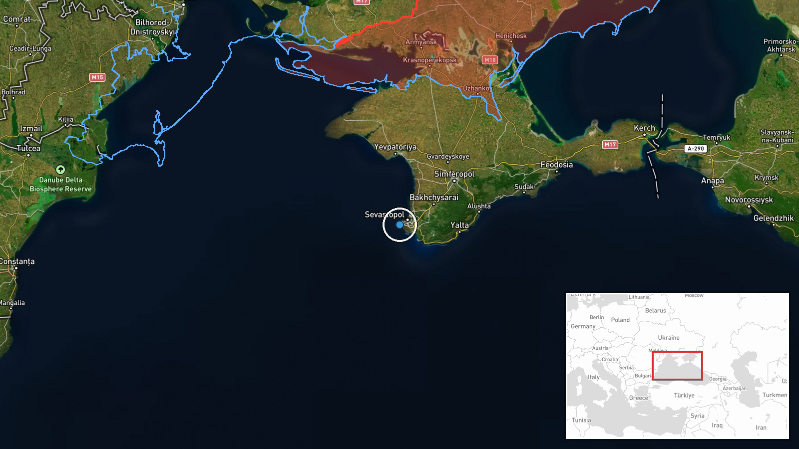
Kozachi Bay is located within Sevastopol's strategic harbor on the Crimean Peninsula's southern coast. The bay sits approximately 2 kilometers southeast of central Sevastopol and forms part of the larger Sevastopol Bay complex. The precise coordinates place the target within the harbor's protected waters, a key operational zone for Russian naval activities in the Black Sea region.
Related events nearby
- Ukrainian forces struck a radio-electronic reconnaissance antenna complex in temporarily occupied Olenivka, Cr2026-09-09 10:50 UTC · UAS Strike · Olenivka, Crimea, Russia-occupied Ukraine
▶ View this event on the live map
Intel Mapper aggregates open-source reports from monitored Telegram and X channels, geolocates them, cross-checks duplicates across sources and assigns a confidence score. Entries are updated as new confirmations arrive. Read how we verify events.