Ukrainian forces destroy railway bridge over North Crimean Canal in occupied Crimea
What happened
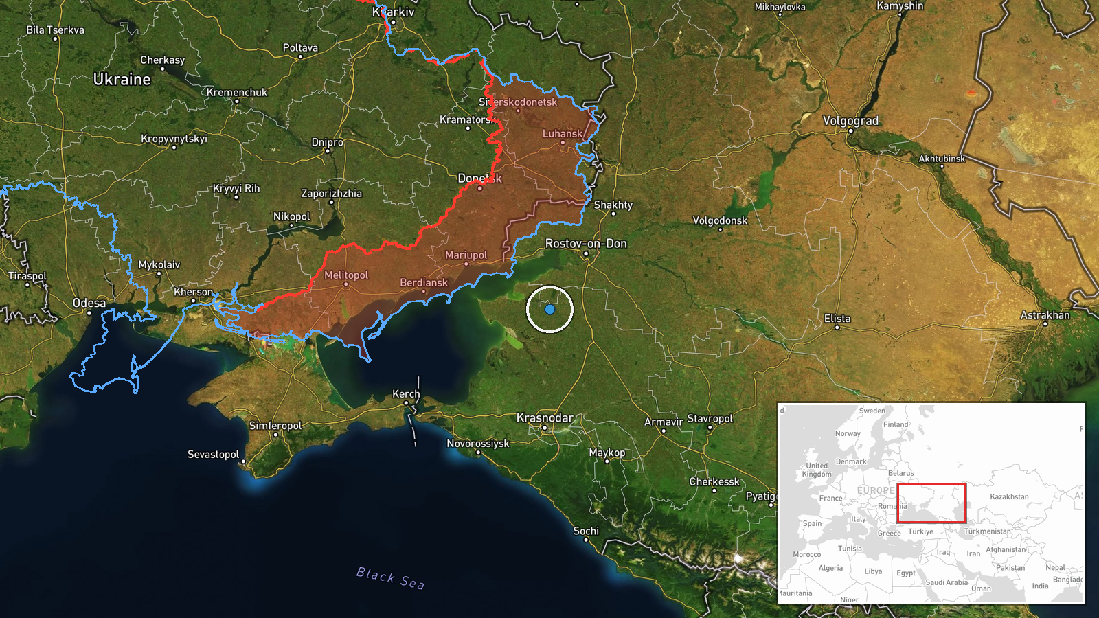
Ukrainian forces reportedly destroyed a railway bridge spanning the North Crimean Canal in the Vladyslavivka area of occupied Crimea on September 14, according to the General Staff of the Armed Forces of Ukraine. The strike targeted infrastructure the Russian military uses to transport supplies. The attack was conducted by uncrewed aerial systems (UAS). The bridge represents a key logistics route for Russian operations in the occupied peninsula.
Context and assessment
The North Crimean Canal has served as critical infrastructure for Russian military logistics since the 2022 invasion, providing a direct supply corridor into Crimea. Railway bridges crossing the canal are particularly valuable targets because they concentrate traffic and are difficult to rapidly repair or bypass. This strike aligns with Ukraine's sustained campaign against Russian rear-area logistics, evidenced by concurrent operations on September 14 against a drone training facility in Luhansk and an oil refinery in Krasnodar Krai. Degrading Russian supply capacity in Crimea may reduce Moscow's ability to sustain garrisons and forward operations across the occupied territories.
Sources and confidence
Reported solely by Telegram channel @GeneralStaffZSU (official Ukrainian military communications). No independent cross-confirmation from Russian sources, commercial imagery, or third-party monitors is currently available. The confidence score of 8.0 reflects the official Ukrainian source, though single-source reporting and low geographic precision create some uncertainty about exact damage assessment and tactical significance.
Location
The bridge crosses the North Crimean Canal near Vladyslavivka (also transliterated Starominskaya) in occupied Crimea. Coordinates place the site in the western portion of the peninsula, where the canal enters from the north. The North Crimean Canal is a major irrigation and supply artery running across the peninsula's northern steppe.
Related events nearby
- Ukrainian forces struck an 'Akhat' (Chechen) drone operator training center in Petropavlivka, Luhansk Oblast. 2026-09-14 15:23 UTC · UAS Strike · Petropavlivka, Donetsk Oblast, Ukraine
- Ukrainian forces struck the Slavyansk-on-Kuban Oil Refinery in Krasnodar Krai on the night of September 12-13.2026-09-14 15:22 UTC · Ballistic Missile · Slavyansk-on-Kuban, Krasnodar Krai, Russia
▶ View this event on the live map
Intel Mapper aggregates open-source reports from monitored Telegram and X channels, geolocates them, cross-checks duplicates across sources and assigns a confidence score. Entries are updated as new confirmations arrive. Read how we verify events.