Ukrainian forces destroy Russian Buk-M3 air defense system in Zaporizhzhia
What happened
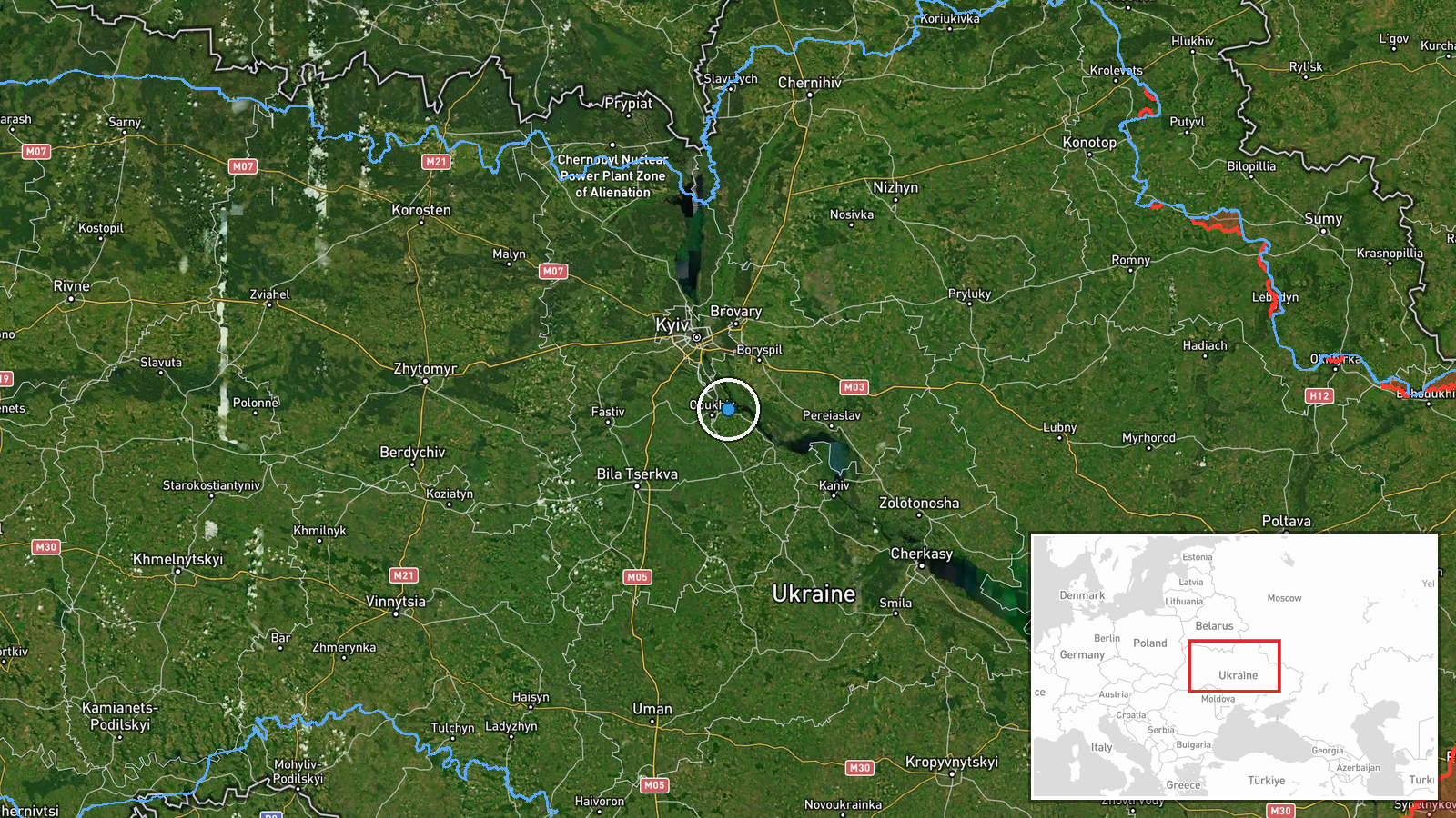
Ukraine's armed forces reportedly destroyed a Russian Buk-M3 air defense system near Ukrainka, Zaporizhzhia Oblast on the night of 19–20 September 2026, according to a statement from Ukraine's General Staff. The Buk-M3 is a medium-range surface-to-air missile system that forms a key element of Russian air defenses. The attack was carried out by Ukrainian unmanned systems. Ukrainka lies in the southern part of Zaporizhzhia Oblast, in territory contested between Russian and Ukrainian forces.
Context and assessment
The destruction of air defense assets reflects Ukraine's sustained campaign to degrade Russian air defense capabilities, which have been central to Russian operations throughout the conflict. The timing coincides with an intensification of Russian missile and drone attacks on Ukrainian territory: on 19 September, Russia launched hypersonic Zircon cruise missiles at Kyiv and deployed jet-powered Shahed variants, while Ukraine's air defenses engaged multiple threats. The loss of a Buk-M3 system in the operational zone suggests either a locational intelligence success or exploitation of air defense repositioning. Zaporizhzhia Oblast remains a focal point of ground operations and aerial contention. This strike may indicate Ukrainian capability to conduct deep targeting against Russian air defense infrastructure, potentially supported by recent Polish-Ukrainian air defense cooperation announced on 19 September.
Sources and confidence
Report originates from Telegram channel @GeneralStaffZSU, the official General Staff of the Armed Forces of Ukraine. Single-source reporting limits independent cross-confirmation; confidence score of 8.0 reflects source reliability and consistency with Ukrainian operational patterns, though absence of secondary confirmation prevents higher confidence. Score would rise with visual evidence or Russian acknowledgment; would lower if operational context contradicted or if system destruction could not be verified.
Location
Ukrainka is a settlement in southern Zaporizhzhia Oblast, approximately 50.138°N, 30.737°E. The location lies in a region of mixed agricultural and steppe terrain, roughly 30 kilometers east of the Dnipro River and within an active operational area where Russian and Ukrainian forces compete for ground and air superiority. Precision is settlement-level based on Ukrainian General Staff reporting.
Related events nearby
- Russia launched 4x 3M22 'Zircon' cruise missiles at Kyiv in an ongoing attack. Zircon is a hypersonic anti-shi2026-09-19 18:22 UTC · Cruise Missile · Kyiv, Kyiv Oblast, Ukraine
- Ukraine's SBU reported successful interception of a Russian Geran-5 (jet-powered Shahed variant) kamikaze dron2026-09-19 16:59 UTC · Drone Shootdown · Kyiv, Kyiv Oblast, Ukraine
- Ukraine's SBU reports successful development and deployment of a new interceptor drone designed to counter jet2026-09-19 11:52 UTC · Report · Kyiv, Kyiv Oblast, Ukraine
- Polish PM Donald Tusk and President Zelensky established an anti-ballistic coalition framework during talks to2026-09-19 11:12 UTC · Diplomacy · Kyiv, Ukraine
- Ukrainian air defense systems successfully intercepted ballistic missile threat. No additional details on impa2026-09-19 14:11 UTC · Air Defense · Kyiv, Kyiv Oblast, Ukraine
▶ View this event on the live map
Intel Mapper aggregates open-source reports from monitored Telegram and X channels, geolocates them, cross-checks duplicates across sources and assigns a confidence score. Entries are updated as new confirmations arrive. Read how we verify events.