Ukrainian aviation reportedly strikes Russian troop concentration with three guided bombs
What happened
A post on the Telegram channel of Ukraine's General Staff (@GeneralStaffZSU) reports that Ukrainian aviation struck an area where Russian personnel were concentrated, using three guided aerial bombs (KABs). The post places the strike in the Northern Slobozhansky and Kursk directions, which are Ukrainian operational sector names rather than a precise address. The original Ukrainian wording describes one air strike against enemy manpower and separately states that Russian forces carried out 64 shellings of Ukrainian positions and settlements in the same reporting period. The report gives no named settlement, casualty figure, or damage assessment, and no independent confirmation accompanies it. The event is dated 16 October 2026 at 05:04 UTC.
Context and assessment
Guided aerial bombs are unpowered glide munitions, originally Soviet-era stock that has been upgraded with satellite or inertial guidance, and they have been used heavily by Russian forces against Ukrainian front-line positions and towns. A Ukrainian aircraft using KABs against a personnel concentration is therefore a notable reversal of that pattern, though one report cannot establish how often such strikes occur. The Kursk direction carries particular weight, since Ukrainian forces operated inside Kursk Oblast in 2024 and 2025, and the General Staff's reference to it signals that the area remains part of active operations. No related events are logged on the map, so this strike cannot yet be placed within a sequence of comparable incidents. The 64 shellings reported alongside it suggest that artillery exchanges continued along the same frontage at the time. Operationally, a strike on a concentration may point to assembly areas, reserves, or staging for a movement, but the post itself offers no evidence of which of these applies. Analysts would normally look for follow-up reports, imagery, or changes in shelling patterns before drawing firmer conclusions about intent or effect.
Sources and confidence
The event rests on a single source, the official General Staff channel of Ukraine's armed forces, which is a primary military communication with a direct and specific account. No second channel, news outlet, or Russian-side statement appears in the dataset, so cross-confirmation is absent. The confidence score of 8.0 reflects the official origin and the concrete detail of three KABs, while the single-source status and the lack of any imagery or independent verification keep it below the top of the scale. Confidence would rise with geolocated footage, satellite or open-source imagery of impact sites, a corroborating report from another party, or identification of a specific settlement. It would fall if the claim were later revised, if no damage evidence emerged, or if the post were shown to describe an earlier action.
Location
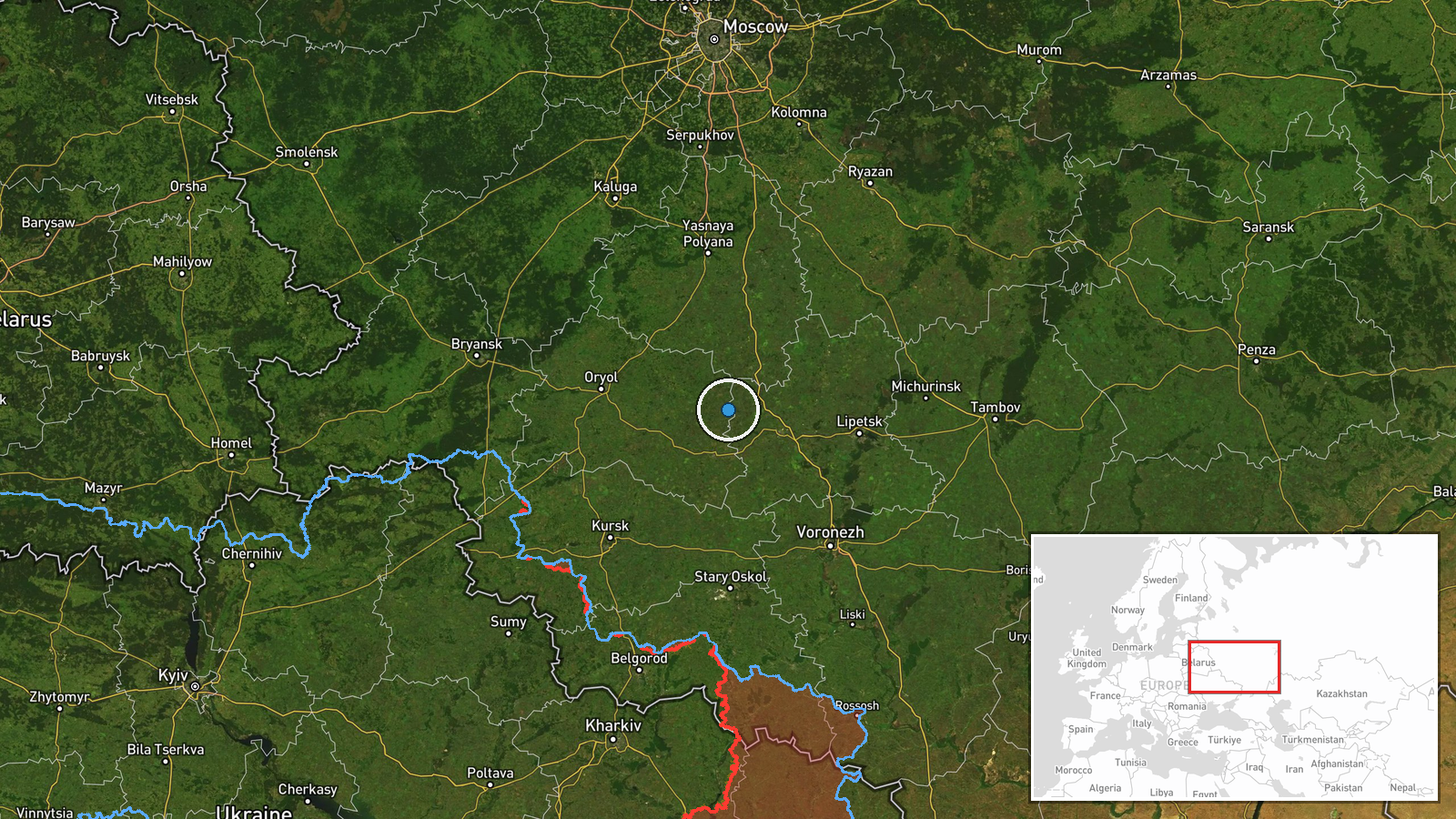
The location is recorded as Russia with no settlement reported, and the coordinates (52.8 N, 37.8 E) are marked as region-level precision with low location confidence. They appear to represent a broad regional centroid rather than a target, so the pin should not be read as a specific site. The point lies in the western Russian border belt among Lipetsk, Oryol, and Kursk oblasts. The terrain there is forest-steppe, with agricultural land, river valleys, and scattered woodland.
▶ View this event on the live map

Intel Mapper aggregates open-source reports from monitored Telegram and X channels, geolocates them, cross-checks duplicates across sources and assigns a confidence score. Entries are updated as new confirmations arrive. Read how we verify events.