Junta columns reportedly advance into Myanmar village areas during festival events
What happened
A report published by BNI Online on Telegram states that junta troops are advancing in military columns into village areas in Myanmar while holding festival events, which the outlet describes as a means of diverting attention. The original Burmese-language headline, roughly translated, says the military is moving columns into villages under cover of festival entertainment. The post is dated 16 October 2026 at 14:45 UTC. The report does not specify the exact village, the number of troops, the units involved, or any casualties, and it describes the advance only in general terms. Attribution to the Myanmar junta comes from the outlet's framing rather than from independent observation.
Context and assessment
Myanmar's military government has faced armed resistance since the 2021 coup, with People's Defence Forces and ethnic armed organisations contesting much of the country. The Sagaing and Mandalay regions have been among the most contested areas, and ground operations into rural villages recur there. Related events in the same window fit this pattern. On 16 October 2026 at 14:36 UTC, an airstrike reportedly hit the Mahasi meditation monastery in a village in Shwebo Township, Sagaing Region, and a survivor who fled said bombing continued nightly. The next day, three war-displaced people were reportedly arrested in Laymyethna, Mandalay Region, on accusations of being PDF members, according to DVB. Taken together, these reports suggest air pressure, ground movement into villages and population-control measures may be used in parallel. Operationally, a column advance preceded by public festivals could indicate an effort to limit civilian movement or resistance mobilisation, though that link is inferential and not confirmed by the source. Civilians in village areas are the most exposed group in such operations.
Sources and confidence
The item rests on a single Telegram channel, @bnionline, operated by BNI Online, a Myanmar-focused news outlet. No independent outlet in the provided data reports the same advance, so cross-confirmation is absent. The confidence score of 6.6 reflects a single-source report with a clear, specific claim but no named village, unit, imagery, or official response. Confidence would rise with corroboration from other local outlets, a named settlement, geolocated photos or video, or statements from either side. It would fall if the channel's earlier reports are found to be inaccurate or if the festival framing cannot be substantiated.
Location
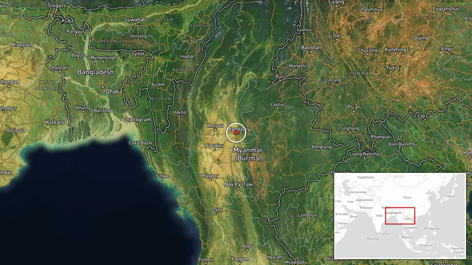
The marker sits at a regional centroid, 22.0 N, 96.0 E, with geo_precision set to region and location confidence rated low. The report names no settlement, so the point should not be read as the village in question. The area lies in central Myanmar, within the broad belt of dry-zone plains and low hills that extends across Sagaing and Mandalay, with the Irrawaddy River system to the west. The two related events, in Shwebo and Laymyethna, lie in this general zone, though the marker itself is not precise enough to locate either one.
Related events nearby
- Airstrike hit Mahasi meditation monastery in Shwebo Township's village; a survivor who fled says bombing conti2026-10-16 14:36 UTC · Airstrike · Shwebo Township, Sagaing Region, Myanmar
- Three war-displaced people were arrested in Laymyethna on accusations of being PDF members, per DVB report.2026-10-17 08:33 UTC · Police Operation · Laymyethna, Mandalay Region, Myanmar
▶ View this event on the live map

Intel Mapper aggregates open-source reports from monitored Telegram and X channels, geolocates them, cross-checks duplicates across sources and assigns a confidence score. Entries are updated as new confirmations arrive. Read how we verify events.