Reported destruction of paddy fields in Kyaukphyu village sheltering displaced people
What happened
A report posted on Telegram by the DVB news channel (@dvbtvnews) states that Myanmar military forces destroyed paddy fields in a village in Kyaukphyu, Rakhine State, that is sheltering displaced people. The post is dated 17 October 2026 at 13:08 UTC. The original text is in Burmese and, in translation, says that the military destroyed rice fields belonging to a village that is a refuge for displaced people. The report does not specify how many fields were affected, when the destruction occurred, which village was involved, or whether any people were harmed. No imagery or independent accounts were attached, and the claim has not been verified by a second source, so the details should be treated as unconfirmed.
Context and assessment
Kyaukphyu is a coastal township on Ramree Island in western Myanmar, facing the Bay of Bengal. It hosts a deep-sea port and is the landing point for China-backed oil and gas pipelines, which gives it strategic and economic weight beyond its local population. Rakhine State has seen intense fighting since late 2023 between the military and the Arakan Army, an ethnic armed group, and large numbers of civilians have been displaced. A related event on the same day, reported at 05:52 UTC, describes junta troop shelling in Pauktaw, a nearby coastal township, which reportedly stopped fishing and left residents' livelihoods increasingly precarious, according to BNI. Taken together, the two reports point to pressure on food and income sources in coastal Rakhine, both at sea and on land. Operationally, the destruction of farmland could be aimed at denying resources to armed groups, at pressuring civilians in areas contested by opposition forces, or could be incidental to military operations. The single report does not establish intent, and the pattern is only suggestive until more evidence emerges.
Sources and confidence
The event rests on one channel, DVB on Telegram, with a source count of one. No second outlet has reported the destruction, and the related Pauktaw report comes from a different source, BNI, so it does not confirm this claim. The low confidence score of 5.9 reflects the single-channel basis, the absence of imagery, and the lack of specific details such as location, date, and scale. Confidence would rise with independent corroboration from local or international media, residents' accounts gathered by several outlets, or satellite imagery showing cleared or burned fields in the area. It would fall if no further reporting appears or if the originating channel corrects or withdraws the post.
Location
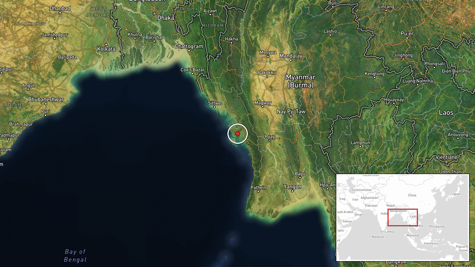
The coordinates are set at regional precision and reflect the general Kyaukphyu area rather than a specific village, so the map point should not be read as the exact site. Kyaukphyu sits on the western coast of Ramree Island, with the Bay of Bengal to its west and mangrove-fringed coastal lowlands and rice-growing plains inland. The island and its port area are key features of the local geography.
Related events nearby
- Junta troop shelling in Pauktaw has prevented fishing, leaving residents' livelihoods increasingly precarious,2026-10-17 05:52 UTC · Artillery · Pauktaw, Rakhine State, Myanmar
▶ View this event on the live map

Intel Mapper aggregates open-source reports from monitored Telegram and X channels, geolocates them, cross-checks duplicates across sources and assigns a confidence score. Entries are updated as new confirmations arrive. Read how we verify events.