Junta closes Kasaw Ward No. 3 road near Mandalay, stranding thousands of cargo trucks
What happened
On 18 October 2026, at about 14:00 UTC, the DVB news channel reported on Telegram (@dvbtvnews) that Myanmar junta forces had closed the Kasaw Ward No. 3 road to traffic. The channel linked the closure to military trucks withdrawing toward Mandalay, and said the restriction was leaving thousands of cargo trucks stuck along the Mandalay to Myitkyina road. The original Burmese-language post used the word 'thousands' without itemising the count, and it included a short video link. No other outlet, witness account, or official statement in the dataset confirms the closure, how long it lasted, or how many vehicles were affected. This is a single-channel claim and should be read as DVB's account rather than a verified traffic count.
Context and assessment
The report arrived on the same day as a separate DVB-reported event: Myanmar military airstrikes on three villages in the Mattara area that reportedly killed three civilians, logged at 04:30 UTC. Read together, the two reports point to continued military activity in central Myanmar, although the dataset does not link the two events directly. Mandalay has been a major focus of the conflict since the 2021 coup, with armed resistance groups and ethnic armed organisations contesting roads, towns and supply routes across the region. The Mandalay to Myitkyina road is a key commercial and logistical artery toward Kachin State, where the military has long faced pressure from the Kachin Independence Army around Myitkyina. A closure of a ward-level road, if accurate, would fit a common pattern in which troops tighten control of transport corridors while pulling units back or redeploying. Such moves can indicate consolidation around urban centres, or a response to threats along the route. The dataset alone cannot show which explanation applies, so the closure should be treated as a possible indicator of shifting military movements rather than a confirmed one.
Sources and confidence
The event rests on one source, the DVB Telegram channel, which is a single-channel report and carries a confidence score of 6.5 out of 10. No second outlet has confirmed the closure, the truck numbers, or the military withdrawal. The score reflects a credible, recognised outlet with a clear local origin, but it is held down by the lack of independent corroboration and by the vague count of thousands. Confidence would rise with video or photographs that can be geolocated, reports from trucking associations or other Burmese media, or statements from local residents. It would fall if other reporting showed the road open or the traffic flowing normally.
Location
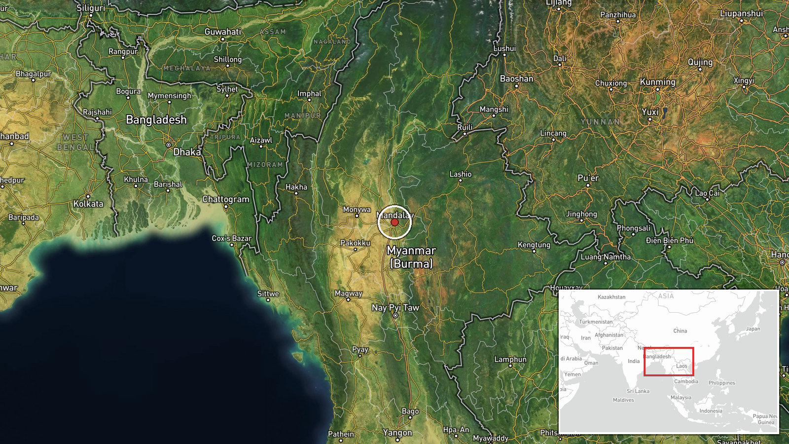
The coordinates, 21.97474 N and 96.08359 E, correspond to central Mandalay city, and the location precision is marked as region with low confidence. The pin is therefore a broad placeholder for the Mandalay area rather than the exact road segment in Kasaw Ward No. 3. The city lies on the Irrawaddy plain, with the Irrawaddy River flowing along its western side. The surrounding terrain is flat and agricultural, and the main road links run north toward Myitkyina and south toward central Myanmar.
Related events nearby
- Myanmar military airstrikes on three villages in Mattara area killed three civilians, per DVB report.2026-10-18 04:30 UTC · Airstrike · Mattara, Myanmar
▶ View this event on the live map

Intel Mapper aggregates open-source reports from monitored Telegram and X channels, geolocates them, cross-checks duplicates across sources and assigns a confidence score. Entries are updated as new confirmations arrive. Read how we verify events.