Farmer killed by landmine while setting a fishing net in Ayeyarwady Region, Myanmar
What happened
A farmer aged over 46 was killed when a landmine exploded in his field in Sa Phyu Kyi village, Thapaung Township, Ayeyarwady Region, Myanmar. The report, published by the Burmese-language DVB news channel on Telegram, says he went out on the evening of 21 October to work his land and was setting up a fishing net in the field when the device detonated, killing him on the spot. The Burmese wording uses the term for a buried mine (မြေမြှုပ်မိုင်း), and the post does not name any party responsible. The English summary identifies the victim only as a farmer, while the original text gives a personal name, which is not repeated here. The dataset records the event timestamp as 23 October 2026 UTC.
Context and assessment
Ayeyarwady is one of the most densely populated and agriculturally important regions of Myanmar, a low-lying delta of paddy fields, canals and village tracts. Since the military seized power in February 2021, fighting and armed presence have spread across much of the country, including parts of the delta. Both the armed forces and various opposition and ethnic armed groups have been documented using buried explosive devices, which can remain in fields long after fighting moves elsewhere. The dataset contains no related events for this incident, so the wider pattern cannot be assessed from linked reporting, and no armed group is connected to the device. Operationally, the incident may indicate that buried or improvised devices persist in agricultural land near former or contested positions, creating a standing hazard for civilians doing routine work such as fishing, planting or harvesting. Casualties of this kind often occur without a clear front line and tend to surface first in local-language reporting. Analysts would most likely read it as a civilian-harm and contamination indicator rather than evidence of a specific offensive.
Sources and confidence
The event rests on one Telegram channel, the Burmese-language DVB news account, which links to a full article on DVB's website. No second outlet, local monitor or official statement in the dataset independently confirms the death, the device or the location, so cross-confirmation is absent. The confidence score of 6.6 reflects a single-source report that is plausible but unverified. It would rise if DVB's article, another Burmese or English outlet, or township-level community sources corroborated the death and the blast with a date and village. It would fall if the article were corrected or withdrawn, or if local reporting described a different cause or victim.
Location
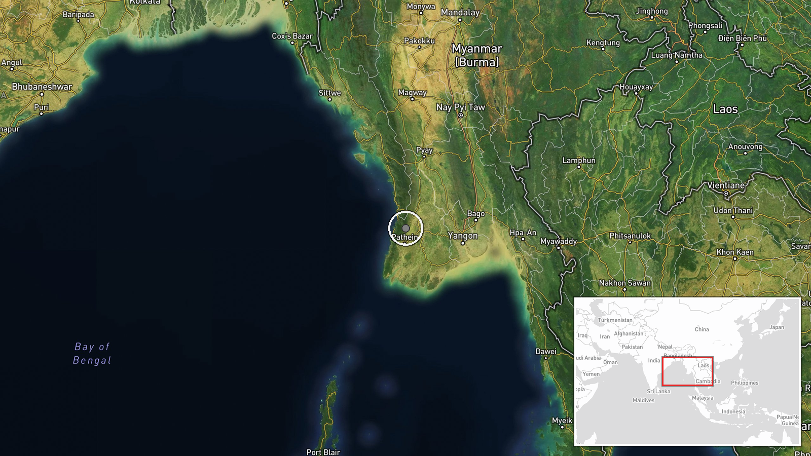
The location is recorded at region level with low location confidence. The coordinates, about 17.15 N and 94.75 E, point to the wider Thapaung Township area rather than a precisely located field in Sa Phyu Kyi village. Thapaung lies in the lower Ayeyarwady delta, a setting of flat paddy land, tidal creeks, canals and embankments that shape daily movement. The exact field where the blast occurred is therefore unknown.
Related events nearby
- Junta forces forcibly seized four youths, including a Rakhine displaced person, and conscripted them as milita2026-10-23 04:24 UTC · Police Operation · Yekyi, Ayeyarwady Region, Myanmar
▶ View this event on the live map

Intel Mapper aggregates open-source reports from monitored Telegram and X channels, geolocates them, cross-checks duplicates across sources and assigns a confidence score. Entries are updated as new confirmations arrive. Read how we verify events.