Russian Shahed drone tracked inbound toward Poltava from south
What happened
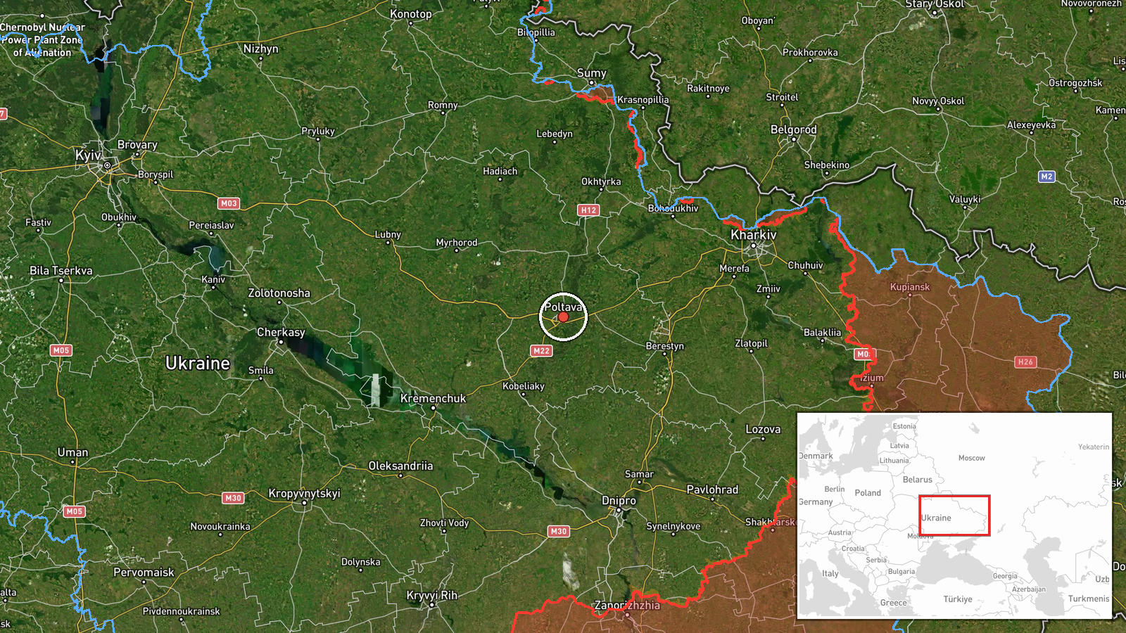
Ukrainian air monitoring reported a single Russian jet-powered Shahed (Geran-3) drone heading toward Poltava from the south on 13 October at 21:13 UTC. The alert came via the official Telegram channel of Ukraine's air force command (@kpszsu). No interception or impact was reported in the available data. The sighting occurred amid a broader pattern of Russian airstrikes across multiple Ukrainian sectors that day.
Context and assessment
Poltava, a major regional hub in central Ukraine located roughly 330 kilometres south of the Russian border, hosts critical infrastructure including energy facilities and military logistics nodes. The drone transit represents one of at least five confirmed Shahed sightings across central and eastern Ukraine on 13 October, including concurrent detections near Myrhorod, Kremenchuk, Birky, and Semenivka. This coordinated dispersal of jet-powered drones—a more capable variant than earlier kamikaze models—alongside a reported 66 Russian airstrikes and 5,602 total drone sorties that day suggests a sustained effort to strain Ukrainian air defences across geographically dispersed targets rather than concentrate on a single location.
Sources and confidence
Single source: Telegram channel @kpszsu (Ukrainian Air Force official account). No corroborating reports from independent monitors or civilian sources in available data. Confidence score of 8.0 reflects the official Ukrainian military origin and specificity of the alert, but absence of independent confirmation and lack of reported outcome limits certainty. Confirmation of drone destruction or arrival would raise confidence; retraction or contradictory official reports would lower it.
Location
Poltava settlement (49.59°N, 34.55°E), Poltava Oblast, central Ukraine. Located on the Vorskla River approximately 330 kilometres south of the Russian border and 280 kilometres northeast of Kyiv. Regional centre with energy infrastructure, logistics facilities, and civilian population of roughly 280,000. Drone approached from the south, consistent with launch points in occupied Zaporizhzhia or Donetsk Oblast.
Related events nearby
- Ukrainian air monitoring: 1 Russian jet-powered Shahed (Geran-3) drone from Poltava Oblast toward Myrhorod.2026-10-13 17:47 UTC · Drone Transit · Myrhorod, Ukraine
- Ukrainian General Staff operational summary: 206 combat clashes across all sectors (13 Oct 2026, 22:00). Russi2026-10-13 19:03 UTC · Report · Multiple sectors, Ukraine (Pokrovsk axis primary)
- Ukrainian air monitoring: 1 Russian jet-powered Shahed (Geran-3) drone heading toward Semenivka.2026-10-13 14:37 UTC · Drone Transit · Semenivka, Ukraine
- Ukrainian air monitoring: 1 Russian Shahed-type drone heading toward Kremenchuk.2026-10-13 17:40 UTC · Drone Transit · Kremenchuk, Ukraine
- Ukrainian air monitoring: 1 Russian Shahed-type drone from Kharkiv Oblast toward Birky.2026-10-13 20:34 UTC · Drone Transit · Birky, Ukraine
▶ View this event on the live map

Intel Mapper aggregates open-source reports from monitored Telegram and X channels, geolocates them, cross-checks duplicates across sources and assigns a confidence score. Entries are updated as new confirmations arrive. Read how we verify events.