Russian Shahed drone reported heading toward Makariv in Kyiv Oblast
What happened
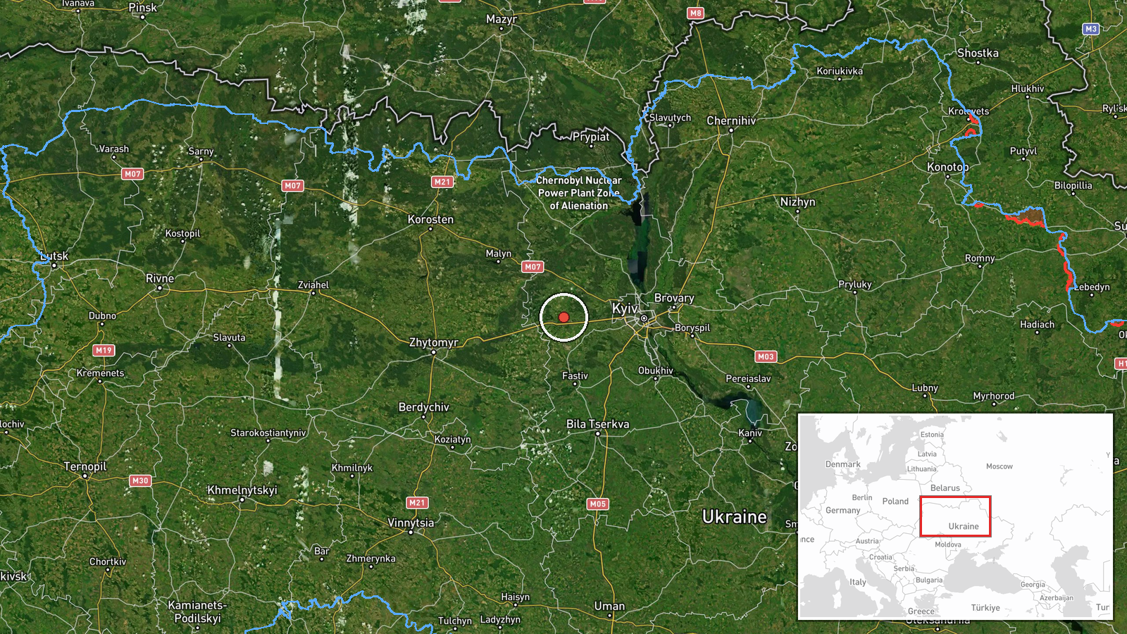
Ukrainian air monitoring reported a single Russian jet-powered Shahed (Geran-3) drone transiting toward Makariv in Kyiv Oblast on the morning of October 14 at 02:25 UTC. The report was issued by the Kyiv regional air defense command via Telegram. No impact or interception was mentioned in the available data. Makariv lies northwest of Kyiv city.
Context and assessment
Makariv sits on the Irpin River in northwestern Kyiv Oblast and serves as a key administrative center for the region. The reported transit follows a pattern of intensive Russian drone activity across Kyiv Oblast on October 13, with multiple Shahed aircraft detected heading toward settlements including Borodianka, Hostomel, Chabany, and Vasylkiv, as well as toward Zhytomyr Oblast. This sustained multi-vector drone campaign suggests Russian targeting of civilian infrastructure or military positions across the wider Kyiv region. Makariv has faced periodic strikes throughout the conflict and remains within operational range of Russian launch sites.
Sources and confidence
Single report from Telegram channel @kpszsu (Kyiv Oblast regional military administration), the official Ukrainian air defense monitoring account for the region. No cross-confirmation from independent sources or other Ukrainian channels in the available data. Confidence score of 8.0 reflects the official source and established channel credibility, though lack of corroboration and absence of reported outcome limits certainty.
Location
Makariv is a settlement in northwestern Kyiv Oblast, approximately 60 kilometers west-northwest of central Kyiv and situated on the Irpin River. Geolocation confidence is high (settlement-level precision). The town lies in relatively open terrain typical of the Polissya region, with scattered forests and agricultural land.
Related events nearby
- Ukrainian air monitoring: 1 Russian jet-powered Shahed (Geran-3) drone from Kyiv Oblast toward Borodianka.2026-10-13 15:43 UTC · Drone Transit · Borodianka, Ukraine
- Ukrainian air monitoring: 1 Russian jet-powered Shahed (Geran-3) drone from Kyiv Oblast toward Hostomel.2026-10-13 13:27 UTC · Drone Transit · Hostomel, Ukraine
- Ukrainian air monitoring detected 1 Russian jet-powered Shahed (Geran-3) drone transiting northern Kyiv Oblast2026-10-13 16:55 UTC · Drone Transit · Northern Kyiv Oblast, Ukraine
- Ukrainian air monitoring: 1 Russian jet-powered Shahed (Geran-3) drone from Kyiv Oblast toward Chabany.2026-10-13 14:04 UTC · Drone Transit · Chabany, Ukraine
- Ukrainian air monitoring: 2+ Russian jet-powered Shahed (Geran-3) drones from Kyiv Oblast toward Vasylkiv.2026-10-13 14:03 UTC · Drone Transit · Vasylkiv, Ukraine
▶ View this event on the live map

Intel Mapper aggregates open-source reports from monitored Telegram and X channels, geolocates them, cross-checks duplicates across sources and assigns a confidence score. Entries are updated as new confirmations arrive. Read how we verify events.