Ukrainian monitors report Russian Shahed drones airborne over Bryansk
What happened
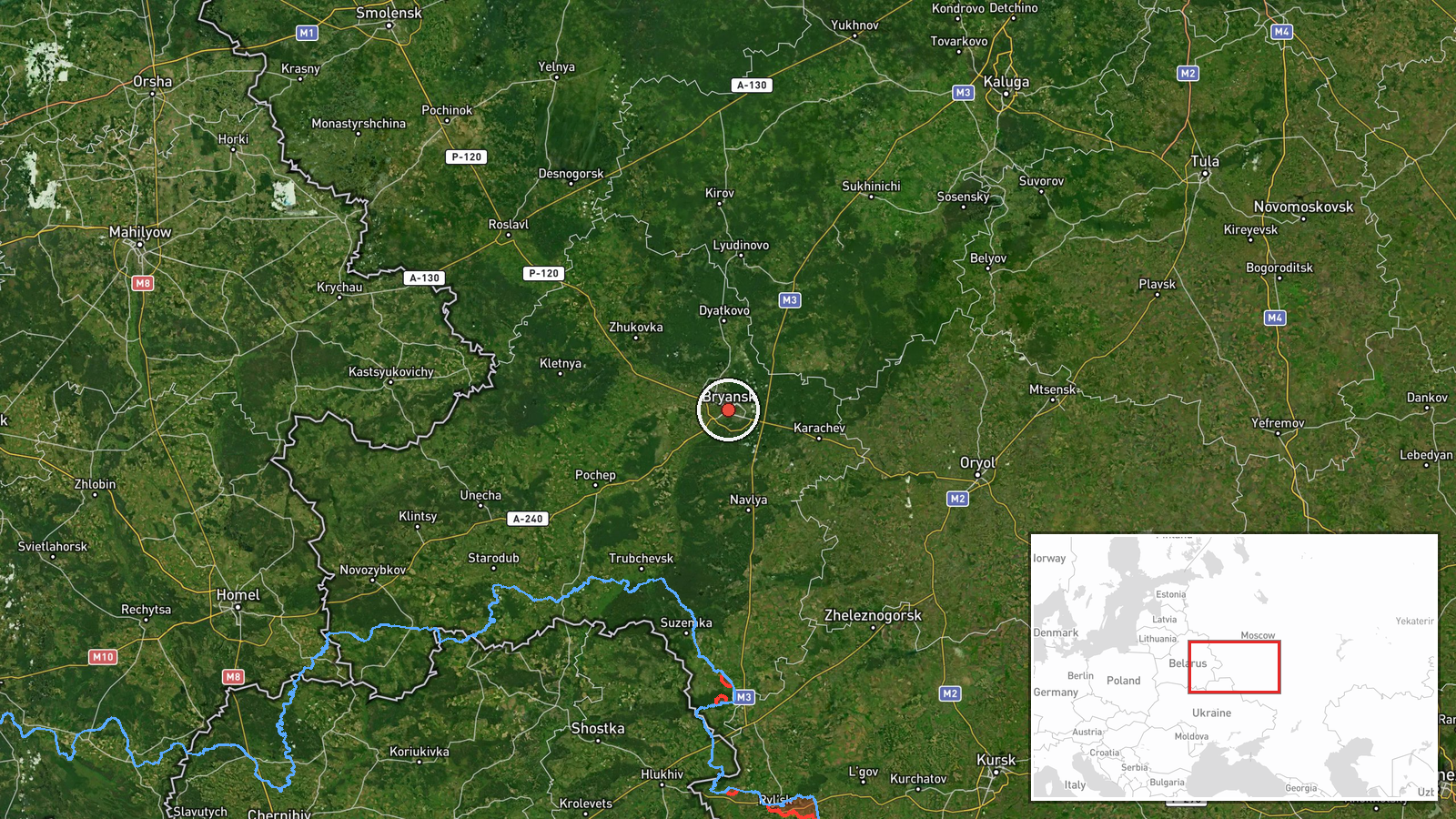
Ukrainian air monitoring services reported detecting two or more Russian jet-powered Shahed (Geran-3) loitering munitions airborne over Bryansk in western Russia on 15 October at 03:10 UTC. The report, posted by the General Staff of the Armed Forces of Ukraine (@kpszsu), indicated the drones were headed northward toward Chernihiv region in Ukraine. The post used motorcycle emoji to denote the drone type, a common convention in Ukrainian military Telegram channels.
Context and assessment
Bryansk lies approximately 100–150 km southwest of Ukraine's Chernihiv region and has served as a staging area for Russian drone launches throughout the conflict. Shahed/Geran-3 variants are Iranian-origin loitering munitions with reported ranges of 1,000+ km, capable of striking deep into Ukrainian territory. Reports of drones detected over Bryansk often precede strikes on northern and central Ukraine. The operational significance is unclear without confirmation of impact, but such detections typically indicate preparation for nighttime attack waves targeting infrastructure or military positions.
Sources and confidence
Report sourced to a single Telegram channel, the official account of Ukraine's General Staff (@kpszsu), which is a primary source for Ukrainian military air defense monitoring. No cross-confirmation from independent observers or second Ukrainian source is noted. Confidence score of 8.0 reflects the official status of the source but the absence of collateral verification. Independent satellite or third-party detection would raise confidence; lack of any reported intercepts or strikes would not directly lower it.
Location
Bryansk city in Bryansk Oblast, western Russia, determined by settlement-level precision (53.24°N, 34.36°E). Located roughly 380 km southwest of Moscow, the city sits on the Oka River in a region historically used as a logistics hub and launch site for long-range drone operations toward Ukraine. No specific facility mentioned; detection refers to airspace over the municipal area.
▶ View this event on the live map

Intel Mapper aggregates open-source reports from monitored Telegram and X channels, geolocates them, cross-checks duplicates across sources and assigns a confidence score. Entries are updated as new confirmations arrive. Read how we verify events.