Russian Shahed Drone Reported Heading Toward Kyiv's Pozniaky District
What happened
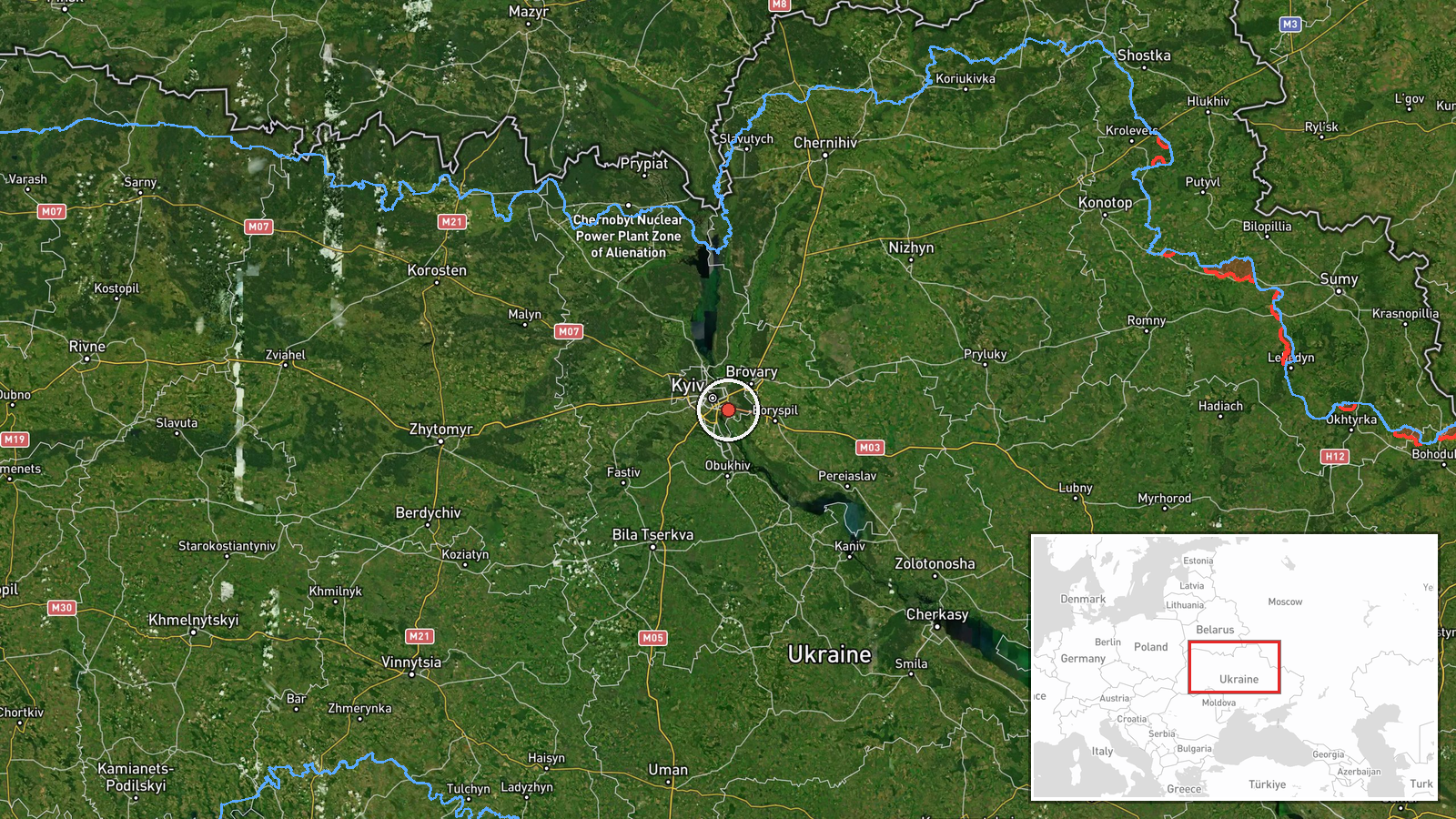
Ukrainian air monitoring reported a single Russian jet-powered Shahed (Geran-3) drone heading toward Pozniaky, a northeastern district of Kyiv, on the morning of October 15 at 06:56 UTC. The report came from the Kyiv City Military Administration's official Telegram channel. Shahed drones are loitering munitions designed to strike targets at range. The alert indicated the drone was in transit toward the city, though the report does not specify whether interception occurred or what the intended target was.
Context and assessment
The Pozniaky alert was one of three nearly simultaneous drone warnings across Kyiv's districts within minutes on October 15 morning, alongside reported threats to Darnytsia and Vydubychi. This follows Russia's October 14 strike on energy infrastructure, which destroyed Kyiv's Darnytska CHP-4 power plant using 39 ballistic missiles and 128 drones. Ukrainian leadership stated the country had honored a three-day ceasefire on strikes against Russian refineries, yet Russia continued offensive operations. The pattern suggests sustained pressure on Kyiv's infrastructure and civilian areas, potentially testing Ukrainian air defenses after the previous day's large-scale assault.
Sources and confidence
Single source: Kyiv City Military Administration (@kpszsu) Telegram channel, posted at 06:56 UTC. No cross-confirmation from other official Ukrainian channels or independent verification is noted. Confidence score of 8.0 reflects the official status of the source but limited corroboration. Score would increase with confirmation from additional tracking channels or air defense updates; it would decrease if the alert were later retracted.
Location
Pozniaky is a northeastern residential and industrial district of Kyiv located approximately 12 kilometers from the city center. The settlement sits along the Dnieper River's right bank. Precision is set at settlement level (coordinates 50.4°N, 30.63°E). The district contains civilian housing, some industrial facilities, and lies within greater Kyiv's metropolitan area.
Related events nearby
- Ukrainian air monitoring: 1 Russian jet-powered Shahed (Geran-3) drone heading toward Darnytsia, Kyiv.2026-10-15 06:57 UTC · Drone Transit · Darnytsia, Kyiv, Ukraine
- Ukrainian air monitoring: 1 Russian jet-powered Shahed (Geran-3) drone heading toward Vydubychi, Kyiv.2026-10-15 06:59 UTC · Drone Transit · Vydubychi, Kyiv, Ukraine
- President Zelensky states Ukraine honored a three-day energy ceasefire by halting strikes on Russian refinerie2026-10-15 06:54 UTC · Statement · Kyiv, Ukraine
- President Zelenskyy reiterates Ukraine's commitment to restart massive strikes on Russian oil refineries in re2026-10-15 06:37 UTC · Statement · Kyiv, Ukraine
- President Zelensky claims U.S. intelligence threatened to block sharing if Ukraine did not halt strikes. Zelen2026-10-15 06:34 UTC · Statement · Kyiv, Ukraine
▶ View this event on the live map

Intel Mapper aggregates open-source reports from monitored Telegram and X channels, geolocates them, cross-checks duplicates across sources and assigns a confidence score. Entries are updated as new confirmations arrive. Read how we verify events.