Russian Shahed drones tracked heading toward Kyiv in renewed strike wave
What happened
Ukrainian air monitoring detected two or more Russian jet-powered Shahed (Geran-3) drones en route to Kyiv at approximately 13:56 UTC on October 15. The report was issued by the Kyiv City State Administration via Telegram. This sighting followed an earlier detection of a similar drone passing Bobrovytsia toward Kyiv Oblast about an hour prior, and came after air raid sirens were activated across the capital.
Context and assessment
Kyiv has faced intensifying drone attacks throughout October 2026, with critical infrastructure—particularly power generation capacity—emerging as a primary target. Three major power plants in the city reportedly lost all electricity production capacity following strikes earlier on October 15. Shahed/Geran-3 drones, characterized by their loitering endurance and jet propulsion, represent a sustained asymmetric threat to Ukrainian urban centers. The repeated detection of inbound drones suggests a coordinated attack pattern rather than isolated incidents. President Zelensky has publicly highlighted Iran's role in supplying long-range drone systems to Russia, framing the threat as one European air defense systems struggle to counter at scale.
Sources and confidence
Single source: Telegram channel of Kyiv City State Administration (@kpszsu). No cross-confirmation from other official Ukrainian channels reported in available data. Confidence of 8.0 reflects the official status of the reporting channel but lack of independent verification. Confirmation of impact or interception would raise confidence; contradictory reports from Russian sources or absence of subsequent alerts would lower it.
Location
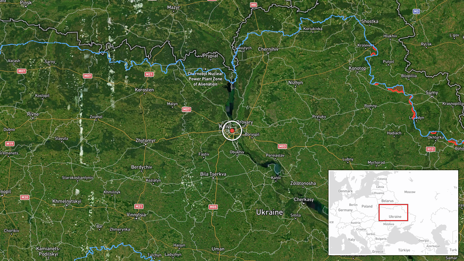
Kyiv proper (50.45°N, 30.52°E), determined at settlement-level precision. The city lies in north-central Ukraine on the Dnipro River and serves as the nation's capital and largest urban center. Geographic precision is high given urban targeting patterns and established air defense monitoring infrastructure in the capital region.
Related events nearby
- CNN reports Ukraine has exhausted its supply of U.S.-made Patriot air defense interceptor missiles, leaving th2026-10-15 14:38 UTC · Report · Kyiv, Ukraine
- Ukrainian air monitoring: 1 Russian jet-powered Shahed (Geran-3) drone from Cherkasy Oblast toward Kyiv Oblast2026-10-15 14:01 UTC · Drone Transit · Kyiv Oblast, Ukraine
- Ukrainian air monitoring: 1 Russian jet-powered Shahed (Geran-3) drone passing Bobrovytsia, heading toward Kyi2026-10-15 12:53 UTC · Drone Transit · Kyiv Oblast, Ukraine
- Zelensky claims Iran possesses missiles and drones with 4,000+ km range, states no European nation has capabil2026-10-15 12:01 UTC · Statement · Kyiv, Ukraine
- Air raid sirens activated in Kyiv warning of incoming Russian drone attack.2026-10-15 11:17 UTC · Siren · Kyiv, Ukraine
▶ View this event on the live map

Intel Mapper aggregates open-source reports from monitored Telegram and X channels, geolocates them, cross-checks duplicates across sources and assigns a confidence score. Entries are updated as new confirmations arrive. Read how we verify events.