Ukrainian air monitoring reports a Geran-3 jet-powered drone heading toward Rivne on October 16, 2026
What happened
Ukrainian air monitoring reported one Russian jet-powered Shahed, designated Geran-3, east of Khmelnytskyi Oblast on a northwest course toward Rivne. The original Ukrainian-language post, published on the Telegram channel @kpszsu, describes a jet-type unmanned aerial vehicle moving on a vector toward Rivne and does not mention impact, damage or casualties. The report is timestamped 16 October 2026 at 11:45 UTC and is logged as a drone transit rather than a strike. The location is recorded at settlement level as Rivne. Earlier the same morning, the monitoring feed logged several similar reports aimed at Rivne and Rivne Oblast, which are summarized in the related events. Because the source is a single channel, these details are reported as stated and have not been independently confirmed by a second outlet.
Context and assessment
Rivne is the administrative center of a northwestern oblast that sits in the Polissia lowlands close to the Belarusian border, a region that Ukrainian air defense has tracked as a corridor for drones entering from the north and west. The same-day related events show a sustained pattern. Reports toward Rivne or Rivne Oblast were logged at 03:11, 03:40, 05:37 and 08:25 UTC, with the 08:25 entry describing a jet-powered Geran-3 heading to the oblast. A later entry at 11:52 describes a Shahed-type drone moving from Zhytomyr Oblast toward Rivne Oblast, which suggests that more than one airframe may have been tracked on overlapping routes. Its timestamp is later than the 11:45 report, so the ordering may reflect reporting delay rather than sequence of flight. Operationally, transit warnings of this kind are usually issued to alert air defense and civil authorities along a projected path. The named destination in such warnings does not always match the eventual point of impact, and many transits end without any reported strike. The jet-powered Geran-3 variant is generally understood to fly faster than piston-engine Shaheds, which can shorten the warning window for regional defenders. The repeated reports point to a recurring route toward this area on a single day, not to a confirmed targeting decision.
Sources and confidence
The report comes from one Telegram channel, @kpszsu, which is generally associated with Ukraine's Air Force and is widely used for real-time air alerts. No second outlet, regional authority statement or independent monitoring source is linked in the data, so cross-confirmation is absent. The confidence score of 8.0 reflects the channel's established role in air warnings and the specificity of the report, but it stops short of the maximum because the account is single-source and does not describe an outcome. Confidence would rise with corroboration from Rivne Oblast officials, a second monitoring feed, or a report of interception or impact. It would fall if the drone's track were later revised, if the report were corrected, or if no further evidence of the flight emerged.
Location
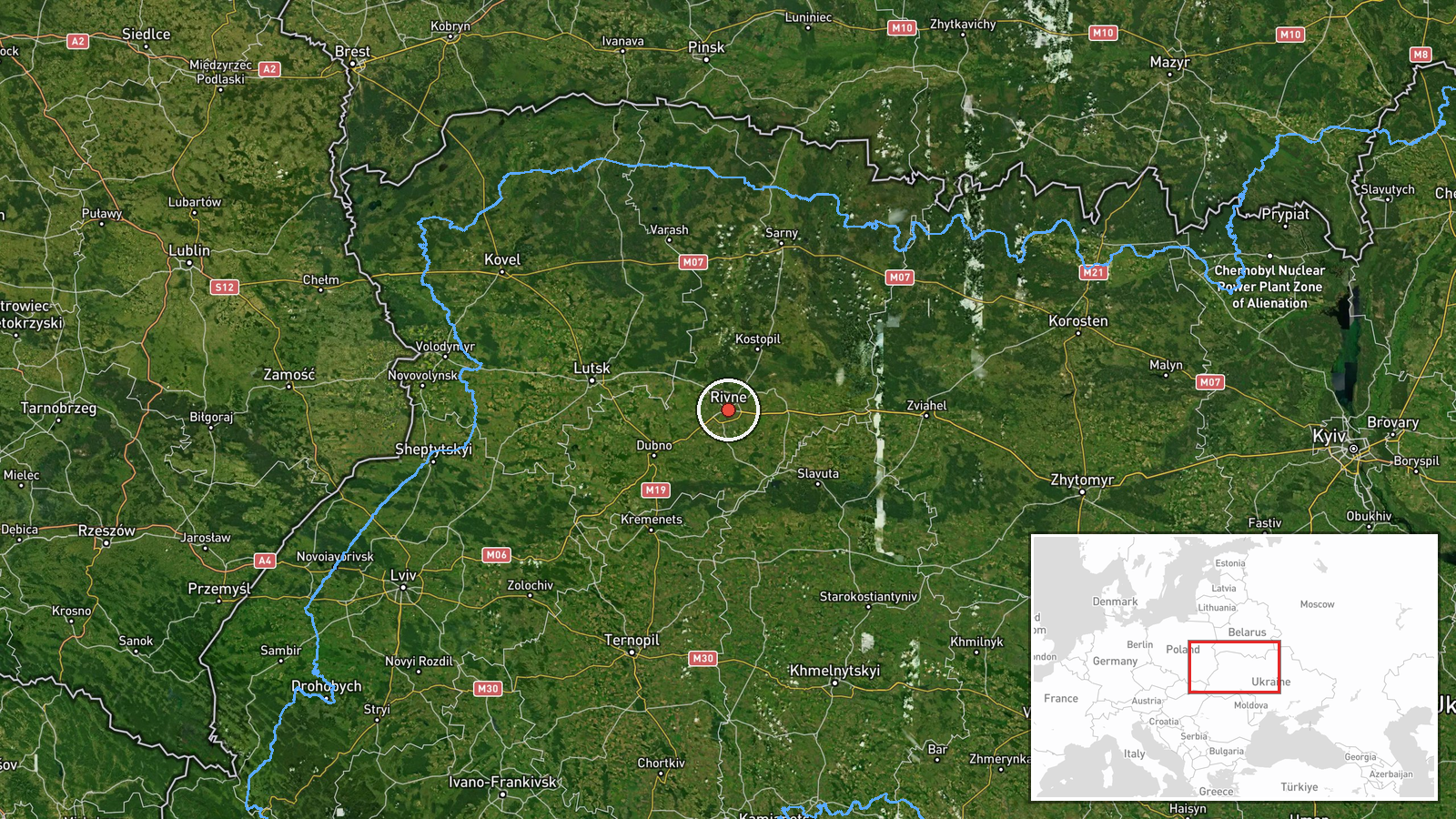
The location is recorded at settlement level as Rivne, with coordinates of 50.62 north and 26.25 east that correspond to the city area, and the location confidence is rated high. Rivne lies in northwestern Ukraine on the lowland terrain of Polissia, a landscape of forests, wetlands, and river valleys. The Belarusian border lies to the north of the oblast, and the city is part of a region that Ukrainian authorities monitor closely for drones approaching from that direction.
Related events nearby
- Ukrainian air monitoring: 1 Russian Shahed-type drone from Zhytomyr Oblast toward Rivne Oblast.2026-10-16 11:52 UTC · Drone Transit · Rivne Oblast, Ukraine
- Ukrainian air monitoring: 1 Russian jet-powered Shahed (Geran-3) drone heading toward Rivne Oblast.2026-10-16 08:25 UTC · Drone Transit · Rivne Oblast, Ukraine
- Ukrainian air monitoring: 1 Russian jet-powered Shahed (Geran-3) drone heading toward Rivne.2026-10-16 05:37 UTC · Drone Transit · Rivne, Ukraine
- Ukrainian air monitoring: 1 Russian jet-powered Shahed (Geran-3) drone heading toward Rivne.2026-10-16 03:40 UTC · Drone Transit · Rivne, Ukraine
- Ukrainian air monitoring: 1 Russian jet-powered Shahed (Geran-3) drone heading toward Rivne.2026-10-16 03:11 UTC · Drone Transit · Rivne, Ukraine
▶ View this event on the live map

Intel Mapper aggregates open-source reports from monitored Telegram and X channels, geolocates them, cross-checks duplicates across sources and assigns a confidence score. Entries are updated as new confirmations arrive. Read how we verify events.