Single drone reported moving west across Zhytomyr Oblast, Ukraine, on 17 October 2026
What happened
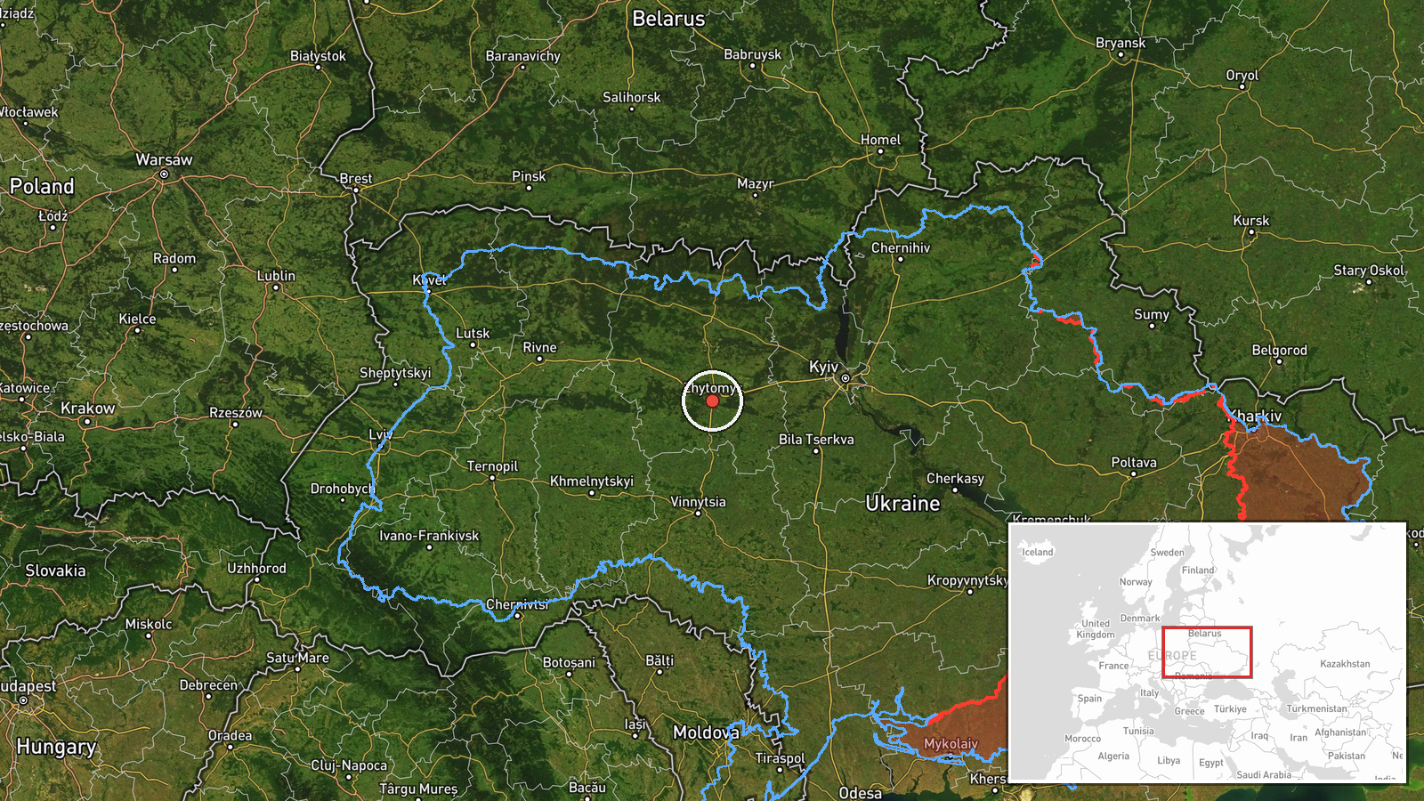
At 03:37 UTC on 17 October 2026, the Telegram channel @kpszsu, which relays Ukrainian air-threat monitoring, reported a single unmanned aerial vehicle in Zhytomyr Oblast, north of a settlement named Chervone, travelling on a western course. The original Ukrainian wording, 'БпЛА північніше н.п. Червоне, курс західний', does not name a drone model or operator. The classification as a Russian Shahed-type drone is an editorial attribution informed by the pattern of nearby monitoring reports, not a statement in the post itself. The message describes a transit only. It includes no impact, casualty, or debris report.
Context and assessment
Zhytomyr Oblast lies on a main air route between Kyiv and the western regions, so drones crossing it are a recurring feature of nightly activity. The related events show a similar pattern over roughly seventeen hours on 16 and 17 October. Monitoring posts logged earlier transits at 10:26 and 18:33 UTC on 16 October, Zhytomyr-directed alerts at 18:48 and 22:26, and a 00:43 UTC transit from Kyiv Oblast toward Zhytomyr Oblast. Several were described as jet-powered Geran-3 variants, while others were logged only as Shahed-type. The repetition of westbound and Kyiv-to-Zhytomyr tracks suggests either a sustained flow of drones moving through the region toward targets farther west, or a series of separate launches following similar routes. Operationally, such transits may serve reconnaissance, draw air defence assets, or saturate radar coverage, but the feed does not confirm any of these purposes. Because this report concerns a westbound track, it may be part of the same flow. Later reports from western oblasts would be the most useful check on that reading.
Sources and confidence
The report rests on one Telegram channel, @kpszsu, with a source count of one. No second outlet or independent monitoring post is linked in the data. The confidence score of 8.0 reflects a consistent monitoring feed with a history of similar posts in the related events, but the report has not been corroborated by a second channel. Confidence would rise with confirmation from another air-monitoring source or a regional military administration, or with reports of a drone impact along the track. It would fall if the channel corrected or retracted the post, or if no later sightings matched the reported route. The corrected flag is false.
Location
The location is approximate. The post names a settlement, Chervone, but the platform records only oblast-level coordinates at 50.25 N, 28.66 E, with precision marked as region and confidence marked as low. Several Ukrainian settlements share this name, so the exact village cannot be confirmed from the data. The area lies in northern Zhytomyr Oblast, within the Polissia lowland, a landscape of forests, wetlands, and river valleys with few distinct landmarks for tracking.
Related events nearby
- Ukrainian air monitoring: 1 Russian jet-powered Shahed (Geran-3) drone heading toward Zhytomyr.2026-10-17 04:15 UTC · Drone Transit · Zhytomyr, Ukraine
- Ukrainian air monitoring: 1 Russian jet-powered Shahed (Geran-3) drone from Kyiv Oblast toward Zhytomyr Oblast2026-10-17 00:43 UTC · Drone Transit · Zhytomyr Oblast, Ukraine
- Ukrainian air monitoring: 1 Russian jet-powered Shahed (Geran-3) drone heading toward Zhytomyr.2026-10-16 22:26 UTC · Drone Transit · Zhytomyr, Ukraine
- Ukrainian air monitoring: 1 Russian Shahed-type drone heading toward Zhytomyr.2026-10-16 18:48 UTC · Drone Transit · Zhytomyr, Ukraine
- Ukrainian air monitoring: 1 Russian jet-powered Shahed (Geran-3) drone passing Zon, heading toward Zhytomyr Ob2026-10-16 18:33 UTC · Drone Transit · Zhytomyr Oblast, Ukraine
▶ View this event on the live map

Intel Mapper aggregates open-source reports from monitored Telegram and X channels, geolocates them, cross-checks duplicates across sources and assigns a confidence score. Entries are updated as new confirmations arrive. Read how we verify events.