Ukrainian pilot video reportedly shows shootdown of a Russian Geran drone; location not reported
What happened
Ukraine's Air Command West, through a pilot from a tactical aviation brigade, reportedly released a video showing the destruction of a Russian Geran drone. The post was published on Telegram by the channel @kpszsu, which is linked to the Ukrainian Air Force, and is dated 18 October 2026 at 09:08 UTC. The original Ukrainian wording praises the pilot, identified by the callsign Denfix, for an accurate strike and says the footage captures the moment the enemy Geran was destroyed. The post does not name the place where the engagement occurred, and the video's exact timing and location remain unconfirmed. The report comes from a single channel and has not been independently verified.
Context and assessment
Geran is the Iranian-designed Shahed family of loitering munitions as produced and used by Russia, and aircraft interceptions of these drones are a recognised part of Ukraine's layered air defense alongside mobile fire groups and ground-based systems. This event fits a broader pattern visible in the same reporting window. Earlier on 18 October, Russia reportedly launched one Iskander-M ballistic missile and about 180 Shahed-type and decoy drones overnight, with Ukrainian air defense reportedly downing or suppressing 152. Ukrainian air monitoring also logged Geran-3 jet-powered drones moving through Oleksandrivka and toward Smila on the same day, suggesting western-bound and central Ukrainian airspace were active. A successful pilot intercept fits this environment, where manned fighters are used against individual targets that get past ground defenses. Operationally, the post may indicate that tactical aviation is being used against jet-powered variants that are harder to stop than older piston-engine Shaheds. Because the location is unknown, it is not possible to say whether the engagement was linked to these specific transit routes.
Sources and confidence
The report rests on one Telegram channel, @kpszsu, which carries official Ukrainian military communications. No other outlet or channel in the provided data independently confirms the shootdown. Official channel status supports a reasonable baseline for the claim, and the confidence score of 7.5 reflects that. The score is held back by the single-source basis, the absence of a stated location, and the fact that the video has not been geolocated or time-verified. Confidence would rise with independent corroboration, such as wreckage imagery, regional air force statements, or matching drone transit reports along the same route. It would fall if the footage were shown to predate the reported date or to depict a different drone type.
Location
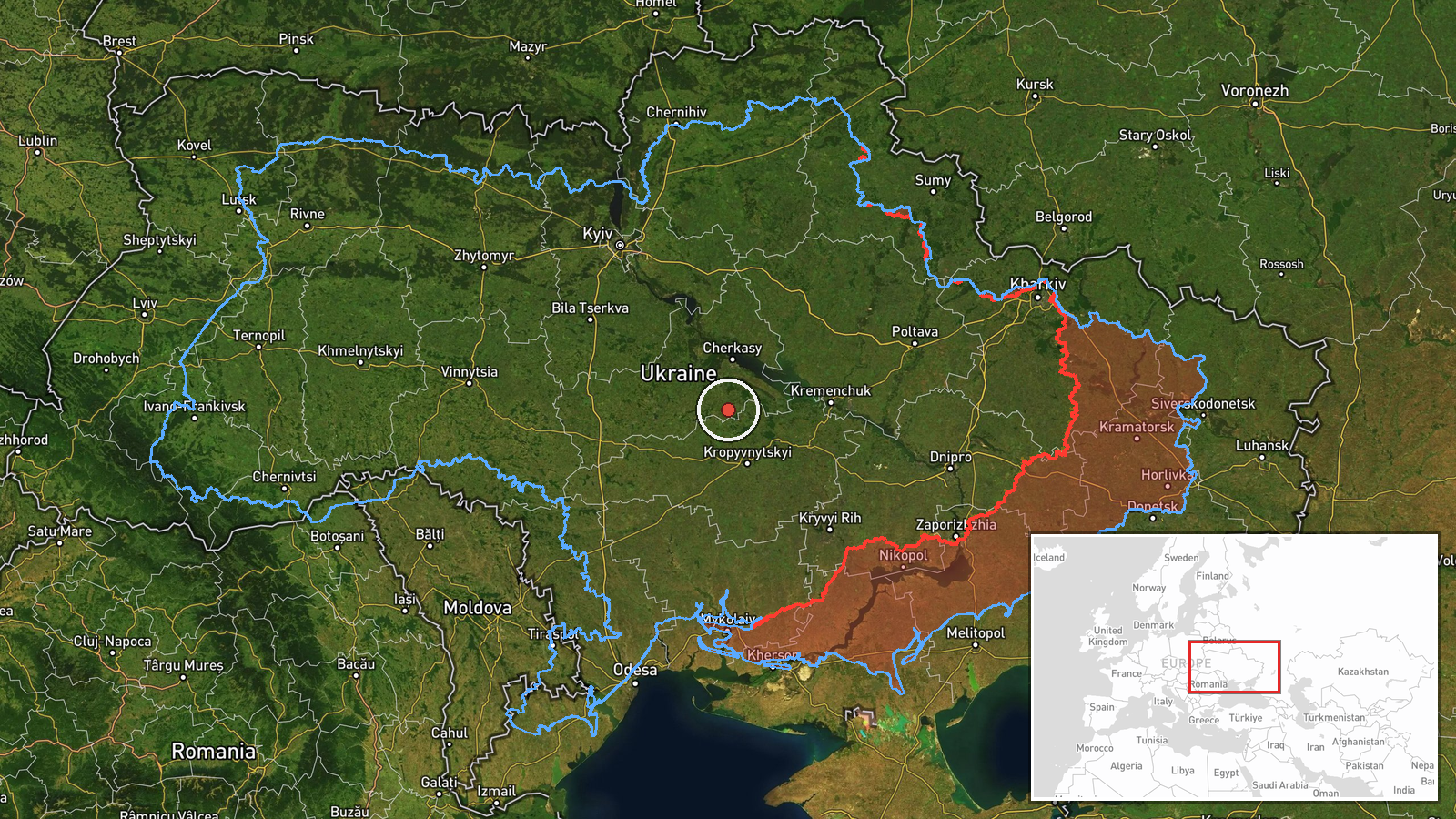
No settlement or facility is named in the post, so the location is approximate and set at the regional level, roughly 49.0N and 32.0E, in central Ukraine. Given the low location confidence, the coordinates should be treated as a general area rather than a specific engagement point. The region includes parts of the Dnipro River basin, agricultural plains, and the broad open terrain typical of central Ukraine. The nearby Oleksandrivka and Smila transit reports of the same day lie in the wider central and southern corridor, but nothing in the source ties the shootdown to either place.
Related events nearby
- Russia launched one Iskander-M ballistic missile and about 180 Shahed-type and decoy drones overnight. Ukraini2026-10-18 05:01 UTC · UAS Strike · Ukraine
- Ukrainian soldiers who served on the front line for a long period have been withdrawn from their positions. No2026-10-18 00:00 UTC · Convoy · Ukraine (location not reported)
- Belgium announces it will supply Ukraine with 10 F-16 fighter jets by the end of the year.2026-10-17 13:09 UTC · Deployment · Ukraine (location not reported)
- Ukrainian air monitoring: 2+ Russian jet-powered Shahed (Geran-3) drones passing Oleksandrivka, heading west.2026-10-18 08:30 UTC · Drone Transit · Oleksandrivka, Ukraine
- Ukrainian air monitoring: 1 Russian jet-powered Shahed (Geran-3) drone from Cherkasy Oblast toward Smila.2026-10-17 13:49 UTC · Drone Transit · Smila, Ukraine
▶ View this event on the live map

Intel Mapper aggregates open-source reports from monitored Telegram and X channels, geolocates them, cross-checks duplicates across sources and assigns a confidence score. Entries are updated as new confirmations arrive. Read how we verify events.