Ukrainian air monitoring reports jet-powered Shahed drone heading toward Pechersk, Kyiv
What happened
Ukrainian air monitoring reported on Telegram that one Russian jet-powered Shahed drone, described as a Geran-3, was heading toward Pechersk, a district of central Kyiv, at 10:01 UTC on 20 October 2026. The original post was brief. It used the Ukrainian phrase for a jet-powered unmanned aerial vehicle and gave no flight path, altitude, or impact. The report comes from a single Telegram channel, @kpszsu, which publishes Ukrainian air-threat warnings. Its wording describes a warning of an aerial threat in transit, not a confirmed strike. A related transit report, timed at 10:19 UTC and placed toward Vydubychi, also in Kyiv, suggests the threat was tracked across more than one district.
Context and assessment
Pechersk matters because it contains central government and administrative areas, including the zone around the presidential office and parliament, which makes any airborne threat there politically sensitive even when no damage is reported. The event fits a wider pattern in the surrounding coverage. A related statement from Zelensky to US lawmakers, timed 23:20 UTC the previous evening, said Ukraine received no warning from partners about Russian ballistic missile waves, describing this as the third such failure recently. A General Staff report from 04:07 UTC the same day cited 1,578 Russian UAV losses in 24 hours, indicating the scale of drone activity Ukrainian forces are handling. Operationally, the Geran-3 is a jet-powered variant of the Shahed design, generally faster and harder to intercept than the propeller-driven versions. A single drone transiting Pechersk and then Vydubychi could reflect routine probing or tracking, a decoy within a larger raid, or an attempt to test air defence coverage over the capital. The available data cannot distinguish among these explanations.
Sources and confidence
The event rests on one channel, @kpszsu, and no independent outlet is listed as confirming it. The related Vydubychi transit report is also described as air monitoring, but the data does not name its source, so it cannot be treated as cross-confirmation. The confidence score of 8.0 reflects a credible, specialised channel and a precise timestamp, but it is capped by the absence of a second source. Confidence would rise with corroboration from Kyiv city military authorities, Ukrainian Air Force statements, or independent flight-tracking evidence. It would fall if later reporting contradicted the drone's path or reclassified the alert.
Location
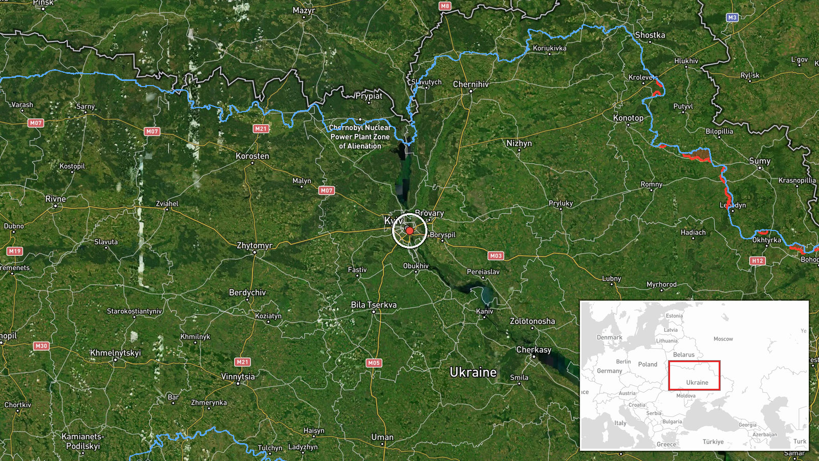
The location is recorded at settlement precision, meaning the coordinates 50.43 N, 30.55 E place the event at the centre of the Pechersk district rather than a specific building. The report named the district and not a street or facility, so the point should be read as approximate. Pechersk lies on the right, or western, bank of the Dnipro River, on higher ground with wooded slopes and historic monastery complexes. The river and the broad floodplain to the east are notable nearby features that shape how drones approach the city.
Related events nearby
- Ukrainian air monitoring: 1 Russian jet-powered Shahed (Geran-3) drone heading toward Vydubychi, Kyiv.2026-10-20 11:02 UTC · Drone Transit · Vydubychi, Kyiv, Ukraine
- Ukrainian air monitoring: 1 Russian jet-powered Shahed (Geran-3) drone heading toward Vydubychi, Kyiv.2026-10-20 10:19 UTC · Drone Transit · Vydubychi, Kyiv, Ukraine
- Zelensky arrived in Oslo for talks with US envoy Steve Witkoff and European partners on a peace plan, hosted b2026-10-20 07:46 UTC · Diplomacy · Kyiv, Ukraine
- Ukrainian General Staff reports 1,560 Russian personnel losses in 24h, plus 9 tanks, 5 AFVs, 42 artillery syst2026-10-20 04:07 UTC · Report · Kyiv, Ukraine
- Zelensky tells US lawmakers a political decision is slowing support to Ukraine, in sharp contrast to battlefie2026-10-19 23:21 UTC · Statement · Kyiv, Ukraine
▶ View this event on the live map

Intel Mapper aggregates open-source reports from monitored Telegram and X channels, geolocates them, cross-checks duplicates across sources and assigns a confidence score. Entries are updated as new confirmations arrive. Read how we verify events.