Single Geran-3 drone reported heading toward DVRZ industrial site in Kyiv
What happened
Ukrainian air monitoring channel @kpszsu reported on 20 October 2026 at 14:09 UTC that one Russian jet-powered Shahed, identified as a Geran-3, was heading toward DVRZ in Kyiv. The original Ukrainian-language post is brief, stating only that a jet-type unmanned aerial vehicle was on a course toward DVRZ, which is the local abbreviation for the Darnytsia wagon repair plant, and it gives no reported impact, damage or casualties. The report is a transit warning rather than a confirmed strike. The attribution to Russia and the drone type come from the channel's summary, not from independent imagery or official statements. The event is one of several drone transit reports logged in the Kyiv area that day.
Context and assessment
The Darnytsia wagon repair plant sits on the left bank of the Dnipro in eastern Kyiv, an industrial site with rail links that makes it a recognizable potential target for long-range drones seeking industrial or transport infrastructure. Its appearance in a warning does not by itself show what was aimed at, since drone transit alerts typically flag a heading and a nearest reference point rather than a confirmed aim point. The related events place this report inside a dense sequence. Between 00:27 and 14:04 UTC on the same day, the monitoring channel logged further single Geran-3 drones heading toward Desna, Vydubychi (twice), Rembaza and Lisovyi Masyv, all in or around the Kyiv area. The repetition of single jet-powered airframes across several districts within hours suggests rolling, dispersed approaches rather than one concentrated salvo, a pattern that can stretch air defence response and complicate interception planning. Because headings are often updated as tracks move, the sequence may also reflect the same drones reported more than once, so the number of distinct airframes cannot be assumed from the count of posts. Operationally, the pattern is consistent with an effort to keep the capital's defences committed across a wide arc, though the data alone cannot establish intent.
Sources and confidence
Only one channel, the Telegram account @kpszsu associated with Ukrainian air monitoring, carried this report, and no second outlet appears in the data supplied. The score of 8.0 reflects a credible official-style monitoring feed with a consistent history of similar alerts, offset by single-source status and the absence of any impact confirmation. Confidence would rise with corroboration from an independent monitoring or media account, or from official air command statements referencing the same track. It would fall if later updates revised the drone type, route or count, or if the target identification were disputed.
Location
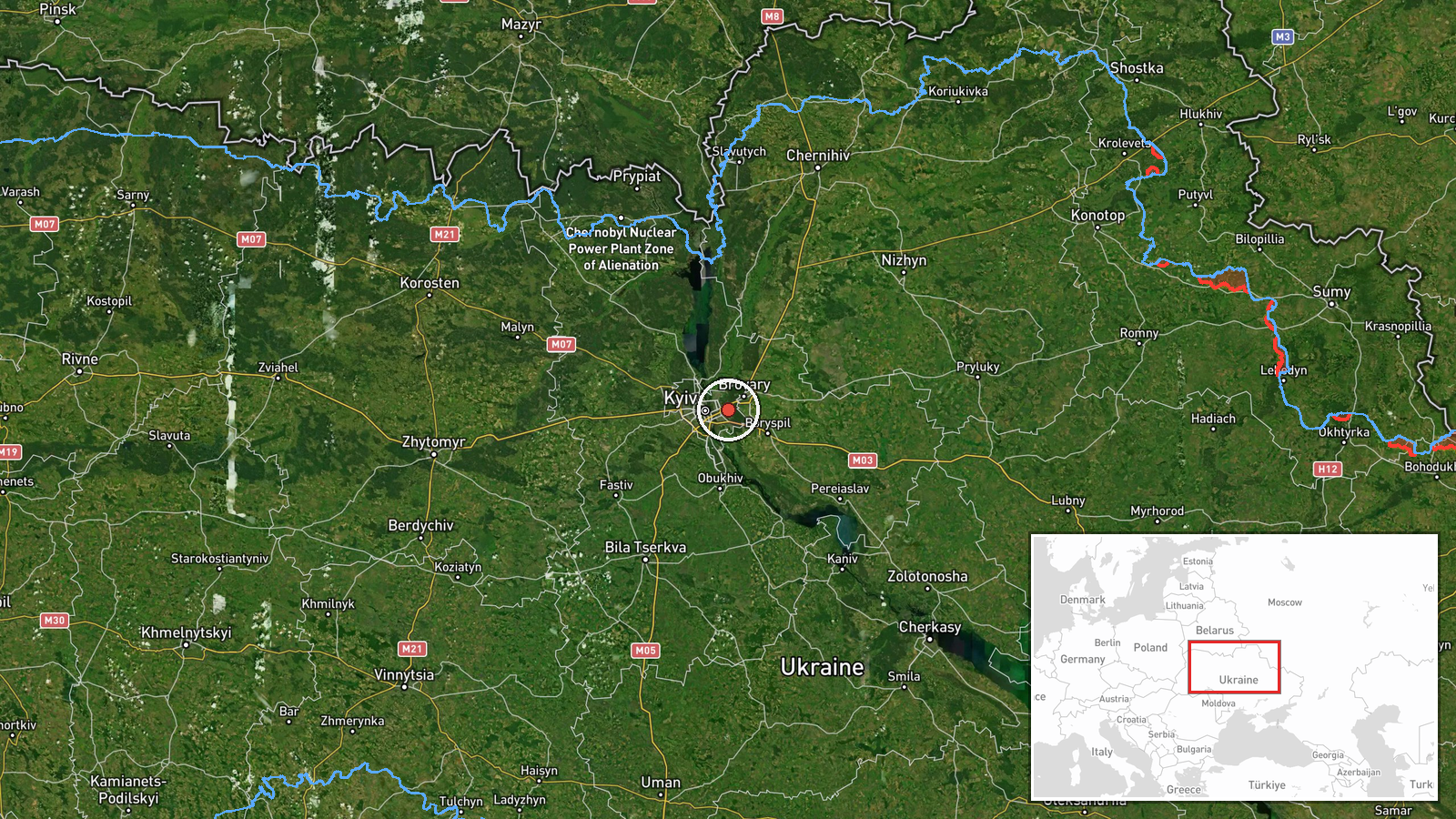
The coordinates are settlement-level, placed on the Darnytsia district industrial area associated with the DVRZ abbreviation rather than on an exact building, and location confidence is rated high. The site lies on Kyiv's left bank of the Dnipro in the eastern part of the city, with the river and its floodplain to the west and dense residential areas and rail corridors nearby. Because the point is approximate, it should be read as the area of the plant rather than a precise facility footprint.
Related events nearby
- Ukrainian air monitoring: 1 Russian jet-powered Shahed (Geran-3) drone heading toward Lisovyi Masyv, Kyiv.2026-10-20 14:04 UTC · Drone Transit · Lisovyi Masyv, Kyiv, Ukraine
- Ukrainian air monitoring: 1 Russian jet-powered Shahed (Geran-3) drone heading toward Rembaza, Kyiv.2026-10-20 10:18 UTC · Drone Transit · Rembaza, Kyiv, Ukraine
- Ukrainian air monitoring: 1 Russian jet-powered Shahed (Geran-3) drone heading toward Desna.2026-10-20 00:27 UTC · Drone Transit · Desna, Ukraine
- Ukrainian air monitoring: 1 Russian jet-powered Shahed (Geran-3) drone heading toward Vydubychi, Kyiv.2026-10-20 11:02 UTC · Drone Transit · Vydubychi, Kyiv, Ukraine
- Ukrainian air monitoring: 1 Russian jet-powered Shahed (Geran-3) drone heading toward Vydubychi, Kyiv.2026-10-20 10:19 UTC · Drone Transit · Vydubychi, Kyiv, Ukraine
▶ View this event on the live map

Intel Mapper aggregates open-source reports from monitored Telegram and X channels, geolocates them, cross-checks duplicates across sources and assigns a confidence score. Entries are updated as new confirmations arrive. Read how we verify events.