Ukrainian air monitoring reports one jet-powered Shahed (Geran-3) drone heading toward Kyiv from the north
What happened
Ukraine's air monitoring channel on Telegram, @kpszsu, reported on 21 October 2026 at 18:18 UTC that one jet-powered Shahed drone, identified in the post as a Geran-3, was on course toward Kyiv from the north. The original Ukrainian message reads, in translation, as a jet-powered UAV on course for Kyiv from the north, with no stated altitude, impact point, or engagement status. The post is a transit notice rather than a confirmed strike, and it reports no damage, casualties, or interception. The event record attributes the drone to Russia. Because the report comes from a single channel, the details are best read as the monitoring warning as published, not as independently confirmed events on the ground.
Context and assessment
Kyiv is Ukraine's capital and seat of government, and its air defenses and command infrastructure make it a recurring focus of long-range drone activity. This single-drone report fits a pattern visible in the same day's related events. At 11:39 UTC, air monitoring reported two or more jet-powered Geran-3 drones heading toward Kyiv Oblast. At 15:39 UTC, a further group of two or more was reported moving from Chernihiv Oblast toward Kyiv Oblast, a northern approach consistent with routes that have been used before. Operationally, a lone drone reported on a northern heading could indicate a trailing element of a larger wave, a reconnaissance or decoy function, or simply a separate transit. The jet-powered variant is generally understood to fly faster than piston-engined Shaheds, which may shorten warning times, though the post itself gives no speed. The same day also carried political statements about freezing the front line and a US-proposed ceasefire. One related report, that a peace deal would keep 75 percent of post-war territory, is unverified and single-source, so it should not be treated as established. These diplomatic items do not directly bear on the drone report but form the wider background against which it is being read.
Sources and confidence
The event rests on one Telegram channel, @kpszsu, with a source count of one and no cross-confirmation from a second outlet in the record. The confidence score of 8.0 is relatively high for a single-source item because the channel is an official Ukrainian air monitoring account, its wording is specific about the drone type and direction, and the same day's related events show a consistent pattern of similar reports. It is not higher because the post gives no independent corroboration of the drone's track, no impact data, and no time-stamped follow-up. Confidence would rise with confirmation from a second official source, radar or sensor-based reporting, or later reports of air-raid activity or interception in Kyiv. It would fall if subsequent updates contradicted the heading or the drone type, or if no further sightings followed.
Location
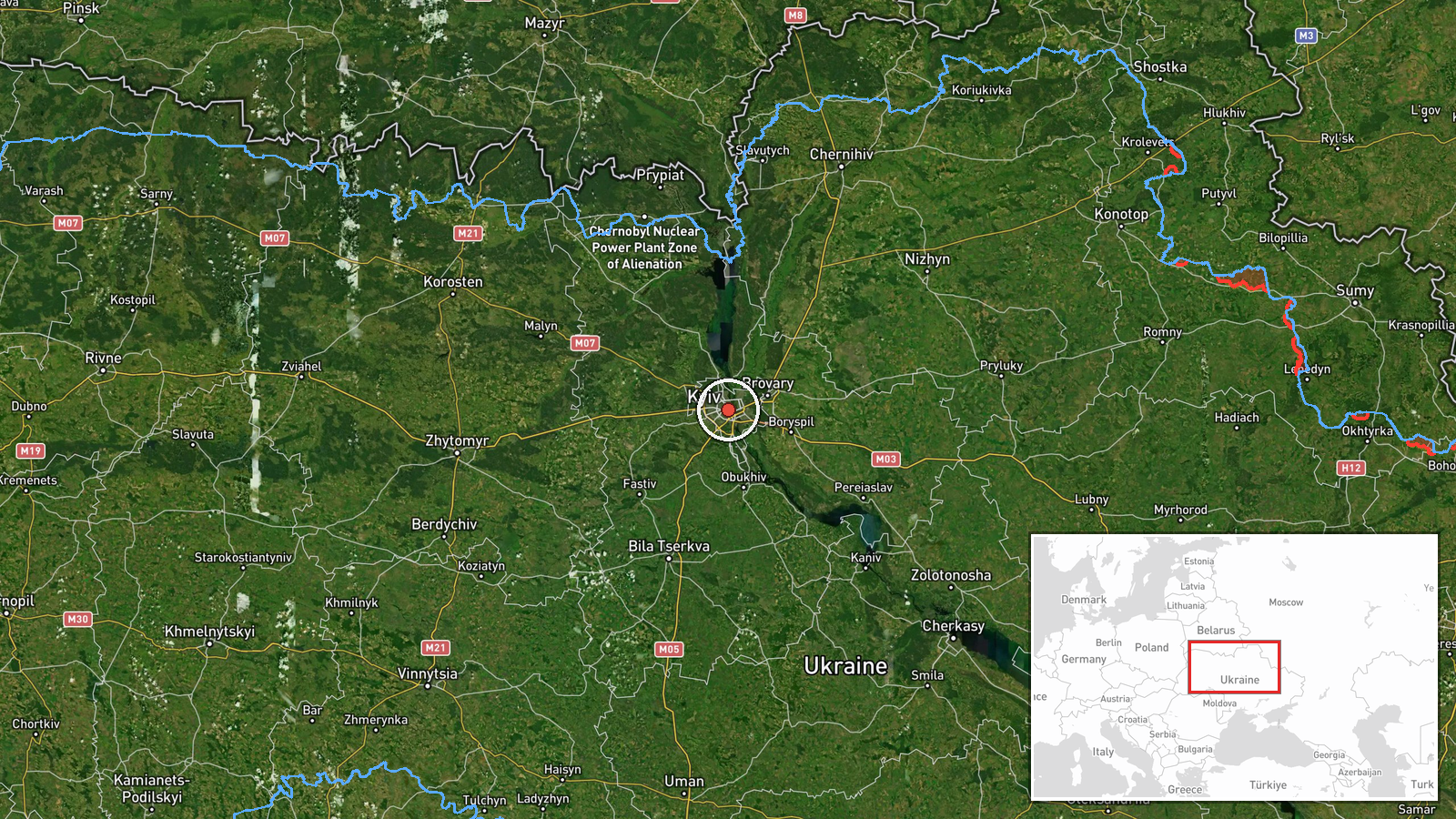
The location is recorded at settlement precision, placing the event at the centre of Kyiv at roughly 50.45 N, 30.52 E, and the location confidence is rated high. This means the point represents the city as a whole rather than a specific facility, and the report refers to the drone's heading toward the city rather than a target. Kyiv sits on the Dnipro River, with higher ground on the western or right bank and lower-lying terrain on the eastern or left bank. The Kyiv Reservoir lies to the north-northeast of the city on the Dnipro, a notable feature for drones approaching from the north.
Related events nearby
- Ukrainian air monitoring announces all-clear after the ballistic missile threat over Kyiv.2026-10-21 19:59 UTC · Siren · Kyiv, Ukraine
- Ballistic missile attack on Kyiv; explosions heard in the city, per monitoring reports.2026-10-21 19:42 UTC · Ballistic Missile · Kyiv, Ukraine
- Ukrainian air monitoring: 1 Russian ballistic missile over Kyiv.2026-10-21 19:13 UTC · Ballistic Missile · Kyiv, Ukraine
- Ukrainian air monitoring: 1 Russian Zircon/Oniks missile passing Kipti, heading toward Kyiv.2026-10-21 19:13 UTC · Cruise Missile · Kyiv, Ukraine
- Ukrainian air monitoring: 1 Russian ballistic missile over Kyiv.2026-10-21 19:12 UTC · Ballistic Missile · Kyiv, Ukraine
▶ View this event on the live map

Intel Mapper aggregates open-source reports from monitored Telegram and X channels, geolocates them, cross-checks duplicates across sources and assigns a confidence score. Entries are updated as new confirmations arrive. Read how we verify events.