Air monitors report one jet-powered Shahed drone heading toward Kyiv's Troieshchyna district
What happened
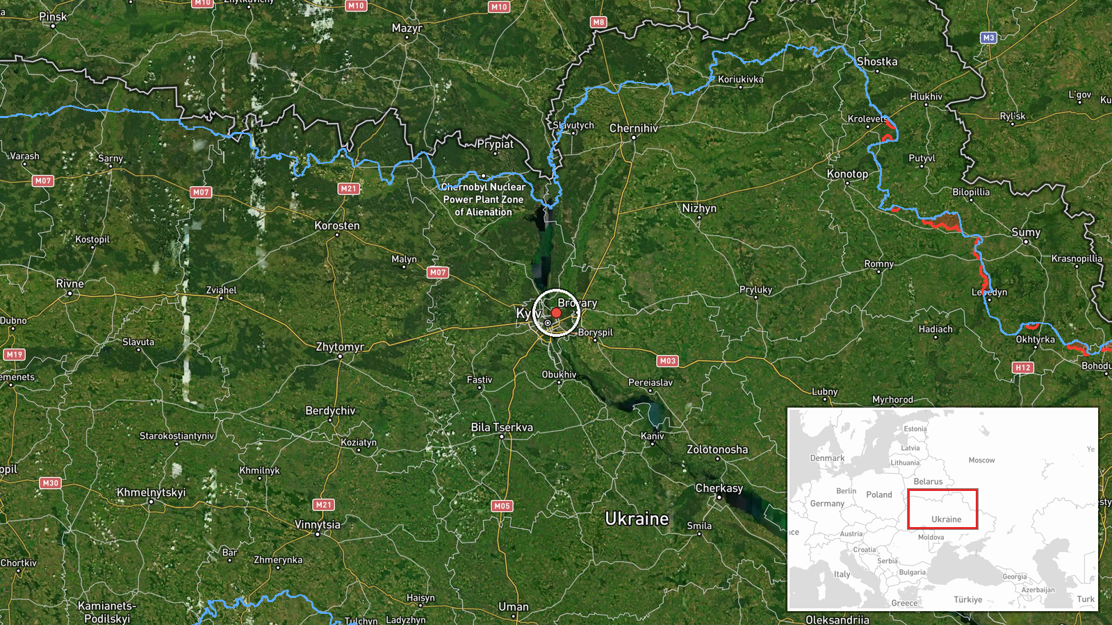
Ukrainian air-threat monitoring reported via the Telegram channel @kpszsu that one jet-powered Russian Shahed-type drone, identified in the wider reporting as a Geran-3, was heading toward Troieshchyna in Kyiv. The original Ukrainian-language post, reading roughly "Kyiv: jet-powered UAV toward Troieshchyna," gives no impact, damage or casualty information. The event is logged at 05:31 UTC on 23 October 2026 and is a transit alert rather than a confirmed strike. Because only one channel carried the report, the account rests on a single warning message, and the drone's subsequent path is not described.
Context and assessment
Troieshchyna is a district on the northeastern side of the Ukrainian capital, so a drone tracked toward it indicates that Russian long-range unmanned attacks are still reaching the Kyiv area and not only frontline regions. The alert follows a ballistic missile strike on Kyiv logged at 21:11 UTC on 22 October, about eight hours earlier, with weapon type, casualties and damage not specified in the report. That strike came amid a day of political statements in Kyiv. Zelensky said overnight Russian strikes showed Putin did not want peace, and Donald Trump responded that such strikes had been happening a lot. Zelensky also addressed security guarantees, European missile transfers requiring US approval, and NATO membership. Operationally, a jet-powered Geran-3 is generally understood to be faster and harder to engage than the older piston-engine Shahed design, which would matter for interceptor timing over dense urban areas. Attacks of this kind often arrive in overlapping waves with missiles, so this drone may be one part of a wider night's activity, though this single report cannot confirm that.
Sources and confidence
The report comes from one channel, the Telegram account @kpszsu, which posts Ukrainian air-threat monitoring. No second outlet, official statement or independent tracker in the provided data corroborates it, so cross-confirmation is absent. The confidence score of 8.0 out of 10 reflects a specific, time-stamped alert from an established monitoring source with high location precision, offset by single-source status and the lack of any follow-up. Confidence would rise if other monitoring channels or Kyiv city officials confirmed the track or reported an interception or impact. It would fall if the drone were later described as diverted or as a false track.
Location
Location was assigned at settlement precision. The place name Troieshchyna in Kyiv was given coordinates of roughly 50.51 N, 30.60 E, and location confidence was rated high. The coordinates mark the district rather than a specific building or facility, so the drone's intended target is not established. Troieshchyna lies in the northeastern part of Kyiv on the left bank of the Dnipro River, within reach of the wider river corridor and its riverside and wooded areas. The district includes dense residential neighbourhoods.
Related events nearby
- Ukrainian forces announced development of FPV drones with roughly 50 km range, able to carry heavier explosive2026-10-23 03:56 UTC · Statement · Kyiv, Ukraine
- Russia struck the Ukrainian capital Kyiv; weapon type, casualties and damage not specified in the report.2026-10-22 21:11 UTC · Ballistic Missile · Kyiv, Ukraine
- Zelensky says new overnight Russian strikes prove Putin does not want peace; Trump responds that such strikes 2026-10-22 20:17 UTC · Statement · Kyiv, Ukraine
- Zelensky says he believes Russia needs Ukraine to join NATO, claiming membership would give Russia more securi2026-10-22 19:19 UTC · Statement · Kyiv, Ukraine
- Zelensky says Ukraine trusts the US and seeks detailed US security guarantees backed by a US Congress vote, no2026-10-22 19:16 UTC · Statement · Kyiv, Ukraine
▶ View this event on the live map

Intel Mapper aggregates open-source reports from monitored Telegram and X channels, geolocates them, cross-checks duplicates across sources and assigns a confidence score. Entries are updated as new confirmations arrive. Read how we verify events.