Satellite imagery shows four large fuel tanks burning at Samara Oil Refinery
What happened
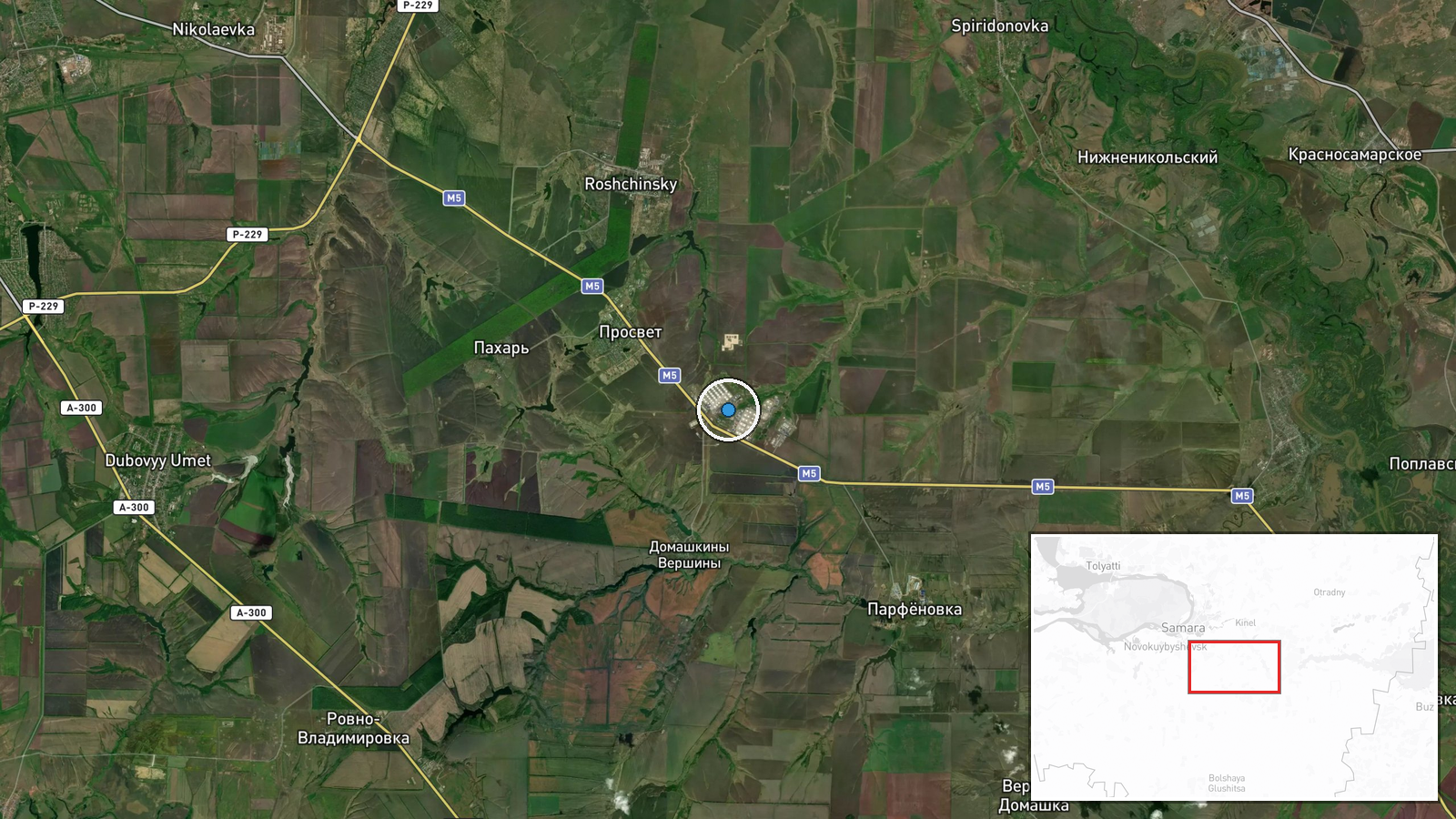
Satellite imagery reportedly shows four RVSPC-50000 fuel storage tanks on fire at the Samara Oil Refinery (LPPS Samara) in Samara, Russia, on 9 October 2026. The report, originating from the Telegram channel @supernova_plus, characterizes the incident as a strike on critical Russian petroleum infrastructure. The exact timing and method of the incident are not specified in the available report.
Context and assessment
The Samara Oil Refinery is one of Russia's significant petroleum processing facilities, located roughly 1,000 kilometres southeast of Moscow. Damage to major refineries constrains Russian fuel supplies at a time when sustained military operations place substantial demands on logistics infrastructure. Strikes on refinery capacity have been a recurring feature of long-range Ukrainian operations throughout the conflict, targeting the industrial base supporting Russian military mobilization. Such strikes, if confirmed, would represent continued pressure on Russian energy infrastructure despite distance from active combat zones.
Sources and confidence
The report originates from a single Telegram channel (@supernova_plus) citing satellite imagery. No corroborating reports from other open-source channels or official statements are noted. The confidence score of 6.0 reflects single-source reporting and the inherent difficulty in independently verifying satellite imagery claims. Confirmation from additional channels or official Russian statements acknowledging damage would substantially strengthen confidence.
Location
The Samara Oil Refinery is located in Samara Oblast, approximately 850 kilometres east-southeast of Moscow in the Volga region of southwestern Russia. The facility sits at coordinates 52.993°N, 50.534°E, with exact geographic precision. The refinery is situated on the Volga River's eastern bank, a critical logistics corridor.
▶ View this event on the live map

Intel Mapper aggregates open-source reports from monitored Telegram and X channels, geolocates them, cross-checks duplicates across sources and assigns a confidence score. Entries are updated as new confirmations arrive. Read how we verify events.