Ukrainian air monitoring tracks Shahed-variant drone transiting toward Ternopil Oblast
What happened
Ukrainian air monitoring services reportedly tracked one Russian reactive drone, identified as a Shahed-variant kamikaze unmanned aircraft, transiting from Khmelnytsky Oblast toward Ternopil Oblast on the evening of 2 September 2026. The report indicates the drone was observed in flight with a trajectory directed at Ternopil Oblast. No immediate impact or interception was reported in the available source material.
Context and assessment
Ternopil Oblast in western Ukraine has experienced recurring drone and missile strikes throughout the conflict, reflecting Russia's strategy of targeting civilian and military infrastructure across Ukrainian territory. The transit from Khmelnytsky Oblast—a neighboring region to the northwest—suggests a continuing pattern of Russian reconnaissance and attack drone operations originating from or passing through central Ukrainian airspace. Shahed-variant drones, slow-flying unmanned weapons derived from Iranian designs, are typically employed against stationary targets including energy infrastructure, military positions, and civilian areas. The observation of such transits is consistent with Russian efforts to degrade Ukrainian air defense responsiveness through sustained pressure.
Sources and confidence
Report sourced from Telegram channel @war_monitor, a single reporting instance with no noted cross-confirmation from other Ukrainian or international monitoring sources. Confidence score of 6.0 reflects the single-source nature of the report and lack of independent verification regarding interception or impact outcome. Confirmation from additional Ukrainian air force or civil monitoring channels would increase confidence.
Location
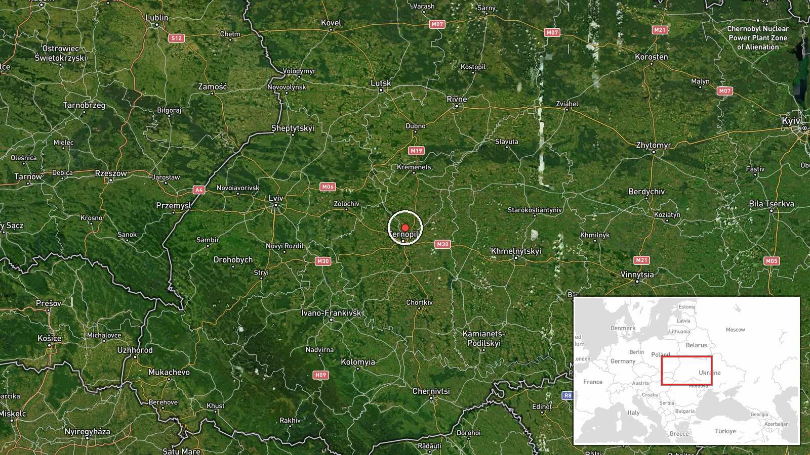
Ternopil Oblast, a region in western Ukraine approximately 350 kilometers west of Kyiv. The drone transit was tracked between Khmelnytsky Oblast (to the northwest) and Ternopil Oblast. The region borders Romania and Moldova to the west and is characterized by rolling terrain with dispersed settlements and critical infrastructure nodes.
▶ View this event on the live map
Intel Mapper aggregates open-source reports from monitored Telegram and X channels, geolocates them, cross-checks duplicates across sources and assigns a confidence score. Entries are updated as new confirmations arrive. Read how we verify events.