Six conventional drones reported transiting Izmail District, Odesa Oblast
What happened
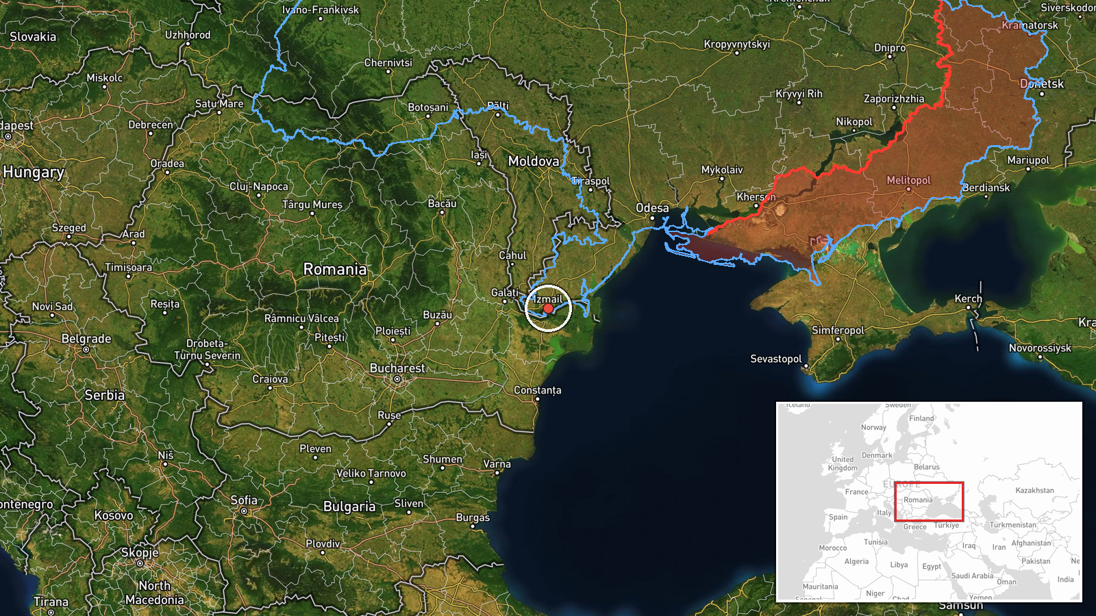
Ukrainian air defense monitoring reportedly detected six conventional unmanned aerial vehicles in transit over Izmail District in Odesa Oblast on 5 September at 20:26 UTC. The report, issued via Telegram channel @war_monitor, notes that the detected drones were non-FPV systems following a trajectory consistent with an attack vector toward southern Ukrainian targets. No immediate impact assessment was provided in the initial report.
Context and assessment
Izmail District lies in southwestern Odesa Oblast near the Danube River delta, an area that has faced sustained Russian drone activity throughout the conflict. Conventional kamikaze drones represent a lower-cost option than guided missiles and are frequently employed in mass attacks against infrastructure and military positions. The reported trajectory toward southern Ukrainian targets suggests either strikes on Odesa region assets or transit toward more distant objectives. Such drone transits over this sector fit an established pattern of Russian attempts to penetrate Ukrainian air defenses in the southwest, though single-source reports warrant caution regarding scale and intent.
Sources and confidence
Report sourced exclusively from Telegram channel @war_monitor, a Ukrainian air defense monitoring account. Single-source reporting limits confidence to 6.0. Cross-confirmation from independent Ukrainian military or allied sources would strengthen assessment. Photographic or radar evidence, or follow-up reports of interceptions or impacts, would materially raise confidence in the detection.
Location
Izmail is a port settlement in southwestern Odesa Oblast, located approximately 150 kilometers southwest of Odesa city near the Danube River delta and the Romanian border. Geo-precision is settlement-level; exact transit corridor is not specified in available reporting. The area is strategically significant as both a transportation hub and potential logistics node.
▶ View this event on the live map
Intel Mapper aggregates open-source reports from monitored Telegram and X channels, geolocates them, cross-checks duplicates across sources and assigns a confidence score. Entries are updated as new confirmations arrive. Read how we verify events.