Single Russian jet-propelled drone detected transiting Odesa Oblast toward Chaban area
What happened
Ukrainian air defense monitors detected one reactive, jet-propelled Shahed-variant 'Banderoль' (courier) drone in transit over Odesa Oblast on September 6 at approximately 12:58 UTC, heading toward the Chaban and Bilyary area. The report comes from the Telegram channel @war_monitor. No interception or impact was reported in the available data.
Context and assessment
The detection occurred amid an intense Russian air campaign against Odesa Oblast spanning September 5–6. Earlier that morning, Russia launched 108 attack drones and 12 cruise missiles from multiple directions; subsequent strikes hit Odesa city and the port area. This single Banderoль drone appears consistent with follow-on strikes or harassment targeting the region's civilian and port infrastructure. The Chaban–Bilyary area lies in the rural interior of Odesa Oblast, suggesting possible targeting of secondary logistics or military-related facilities. The detection reflects ongoing Russian efforts to sustain pressure on the region through dispersed drone waves.
Sources and confidence
Reported solely by Telegram channel @war_monitor with no cross-confirmation from other OSINT channels noted. Confidence score of 6.0 reflects single-source reporting and lack of independent verification. Confirmation by additional channels or Ukrainian air defense statements would raise confidence; failure to report strikes in the target area would lower it.
Location
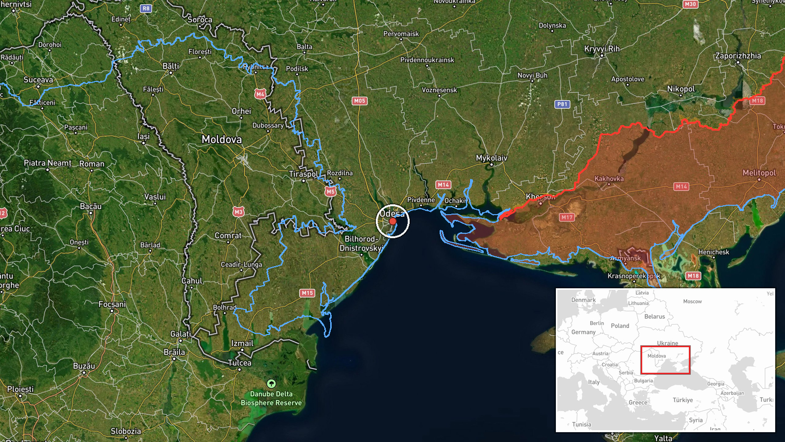
Odesa Oblast, southern Ukraine, in the direction of Chaban and Bilyary settlements in the interior of the region. Coordinates (46.4868°N, 30.7386°E) place the detection at region-level precision. The area lies inland from the Black Sea coast, roughly 40–50 km northwest of Odesa city proper, in mixed rural and agricultural terrain.
Related events nearby
- Russian forces struck two logistics centers in Odesa with missiles. No casualty figures reported in initial as2026-09-06 15:52 UTC · Ballistic Missile · Odesa, Odesa Oblast, Ukraine
- One ballistic missile (reactive/jet-propelled UAV) struck Odesa city. No immediate casualty or damage reports 2026-09-06 09:27 UTC · UAS Strike · Odesa, Odesa Oblast, Ukraine
- Two reactive/jet-propelled UAVs (Shahed-variant 'Banderoль' drones) detected in transit over Berezivskyi Distr2026-09-06 12:52 UTC · Drone Transit · Berezivskyi District, Odesa Oblast, Ukraine
▶ View this event on the live map
Intel Mapper aggregates open-source reports from monitored Telegram and X channels, geolocates them, cross-checks duplicates across sources and assigns a confidence score. Entries are updated as new confirmations arrive. Read how we verify events.