Russian Shahed-136 drone detected transiting toward Kamyanske in Dnipropetrovsk
What happened
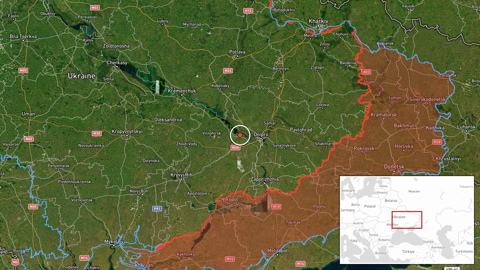
Ukrainian air defense monitoring detected one reactive (jet-powered) Shahed-136 kamikaze drone in transit toward Kamyanske, a city in Dnipropetrovsk Oblast, on 9 September 2026 at approximately 16:35 UTC. The report, from the Telegram channel @war_monitor, indicates the drone was under observation by Ukrainian air defense systems. No strike confirmation or outcome was provided in the initial monitoring report.
Context and assessment
Kamyanske, an industrial city on the Dnipro River in southeastern Ukraine, has been a recurring target for Russian drone attacks due to its manufacturing base and strategic location along supply routes. The detection of Shahed-136 transit toward the region reflects Russia's continued reliance on kamikaze drones for strikes on Ukrainian rear-area targets. Shahed-136s, with their jet propulsion and extended range, enable Russia to target locations deep within Ukrainian-controlled territory. Single drone detections often precede cluster attacks, though this report captures only the transit phase.
Sources and confidence
Reported by Telegram channel @war_monitor, a Ukrainian military monitoring account. Single-source reporting limits independent confirmation; no corroborating channels are noted. The confidence score of 6.0 reflects the source's credibility and direct air defense monitoring, though absence of secondary confirmation and unclear attack outcome are factors. Additional post-strike reports or multiple independent sources would strengthen confidence.
Location
Kamyanske is located in Dnipropetrovsk Oblast in southeastern Ukraine at approximately 48.52°N, 34.61°E. The city sits on the Dnipro River and is a major industrial center. Geographic precision is set to settlement level. The location was derived from Ukrainian-language air defense monitoring notation referencing the settlement directly.
▶ View this event on the live map
Intel Mapper aggregates open-source reports from monitored Telegram and X channels, geolocates them, cross-checks duplicates across sources and assigns a confidence score. Entries are updated as new confirmations arrive. Read how we verify events.