Russian Shahed drones transit toward Korosten and Vinnytsia via Chornobyl Zone
What happened
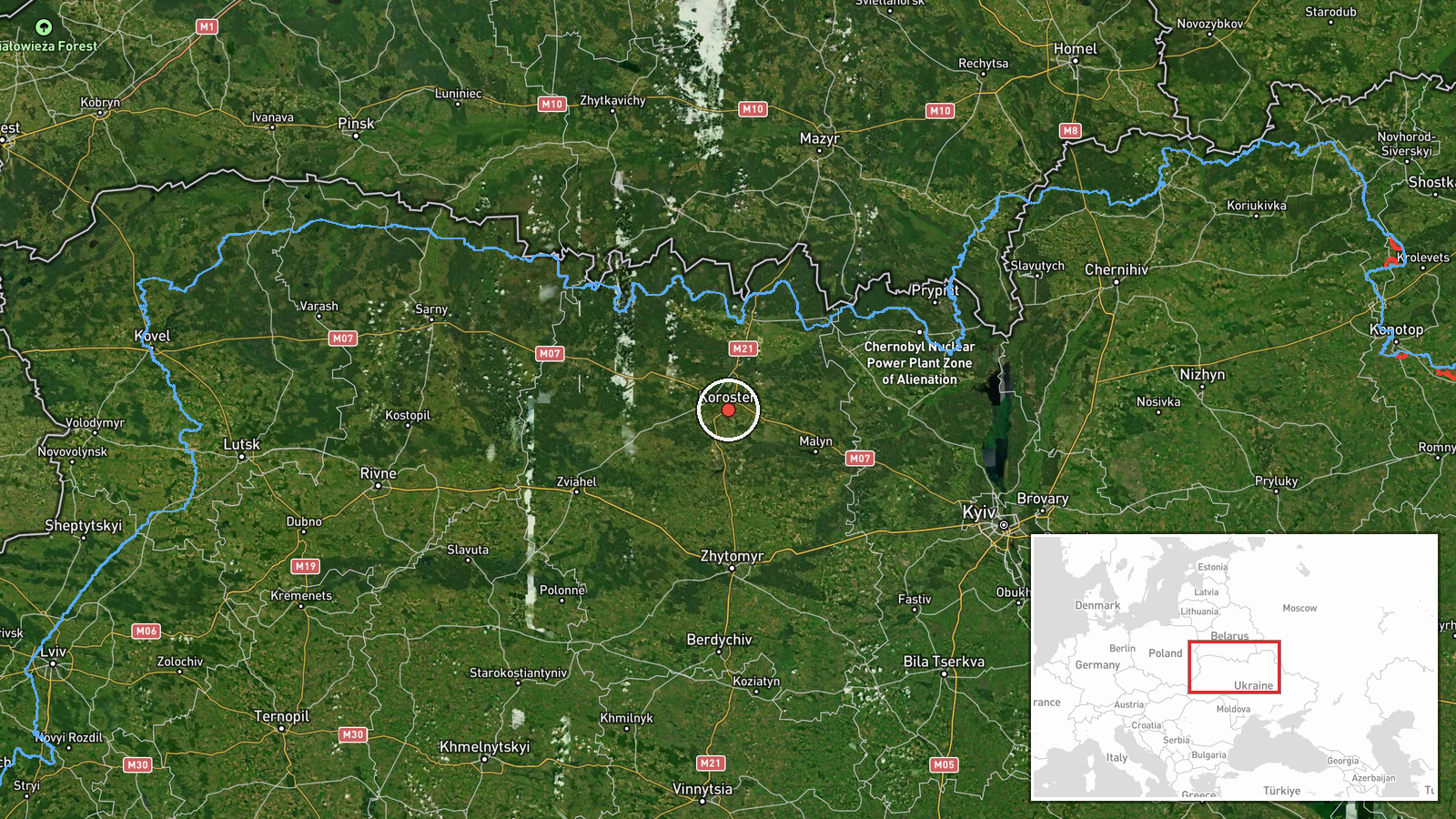
Russian Shahed-type reactive drones were detected transiting through the Chornobyl Exclusion Zone toward Korosten in Zhytomyr Oblast, with a separate group of three drones reported moving from the Bila Tserkva area toward Vinnytsia Oblast, according to Telegram channel @war_monitor on 12 September at 16:31 UTC. The report indicates ongoing drone transit rather than confirmed strikes, consistent with Russian reconnaissance and attack patterns across western Ukraine.
Context and assessment
Zhytomyr and Vinnytsia oblasts have been frequent targets of Russian drone campaigns aimed at energy infrastructure and civilian installations. The routing through the Chornobyl Exclusion Zone suggests an attempt to evade Ukrainian air defenses by using less-monitored airspace. Multiple drone transits were reported across Zhytomyr Oblast throughout 12 September, including strikes on Zvyahel and alerts near Ovrutch and Olevsk, indicating a sustained multi-vector operation. Such patterns typically precede coordinated strikes on regional infrastructure, though this particular report documents transit only.
Sources and confidence
Single-source report from Telegram channel @war_monitor. No cross-confirmation from other OSINT channels or Ukrainian official sources noted. Confidence score of 6.0 reflects the single source and lack of independent verification. Confirmation from additional channels, air defense acknowledgment, or damage reports would strengthen confidence.
Location
Korosten is a city of approximately 39,000 in northwestern Zhytomyr Oblast, roughly 115 km north-northwest of Kyiv. The Chornobyl Exclusion Zone lies to its south and east. Vinnytsia Oblast extends further west and south from Zhytomyr. Geographic precision is settlement-level based on named targets and established Ukrainian geography.
Related events nearby
- Four Russian Shahed-type reactive (jet-powered) drones detected transiting from Korosten toward Dubrovytsia in2026-09-12 13:02 UTC · Drone Transit · Korosten, Zhytomyr Oblast, Ukraine
- One Russian reactive (jet-powered) Shahed-type drone detected transiting over Zhytomyr Oblast in vector from O2026-09-12 08:06 UTC · Drone Transit · Olesyk, Zhytomyr Oblast, Ukraine
- Air defense alert: 5 Russian Shahed-type reactive drones detected transiting past Ovrutch, Zhytomyr Oblast. Se2026-09-12 11:59 UTC · Siren · Ovrutch, Zhytomyr Oblast, Ukraine
- Russian Shahed-type reactive (jet-powered) drones transiting through Belarusian airspace en route to Zhytomyr 2026-09-12 10:34 UTC · Drone Transit · En route: Belarus → Zhytomyr Oblast, Ukraine
- Russian Shahed drone struck civilian infrastructure in Zvyahel, Zhytomyr Oblast. Multiple targets hit includin2026-09-12 13:52 UTC · UAS Strike · Zvyahel, Zhytomyr Oblast, Ukraine
▶ View this event on the live map
Intel Mapper aggregates open-source reports from monitored Telegram and X channels, geolocates them, cross-checks duplicates across sources and assigns a confidence score. Entries are updated as new confirmations arrive. Read how we verify events.