Ukraine issues elevated air defense alert for Shahed drones and ballistic missiles
What happened
Ukrainian air defense authorities issued a nationwide threat assessment on the night of September 12–13, warning of above-average danger from Shahed-136 attack drones and ballistic missiles across seven oblasts: Kyiv, Zhytomyr, Rivne, Volyn, Dnipropetrovsk, Kharkiv, and Odesa. The warning noted active Russian military presence in four regions of western Russia: Bryansk, Kursk, Voronezh, and Rostov. Strategic aviation was assessed as inactive. The alert was distributed via the war_monitor Telegram channel.
Context and assessment
The alert reflects the persistent tempo of Russian drone and missile strikes on Ukrainian territory. On September 12 alone, Ukraine's air defense engaged 410 Russian attack drones, successfully intercepting or suppressing 336 of them, including 23 Shahed variants. The geographic spread of the warning—covering much of central and eastern Ukraine plus the southern Odesa region—suggests Russia maintains dispersed launching sites across its western border regions. The specific mention of Bryansk, Kursk, and Voronezh indicates likely staging areas for unmanned systems; Rostov region typically supports operations toward southern Ukraine. This pattern is consistent with sustained Russian efforts to strike civilian and military infrastructure across Ukrainian airspace.
Sources and confidence
Source: Telegram channel @war_monitor, which aggregates official Ukrainian air defense assessments. Single-channel report with no independent cross-confirmation in the provided data. Confidence score reflects routine nature of such alerts and alignment with September 12 air defense engagement figures (336 of 410 drones intercepted), but limited source diversity. Confirmation from Ukrainian General Staff or official air defense statements would strengthen confidence.
Location
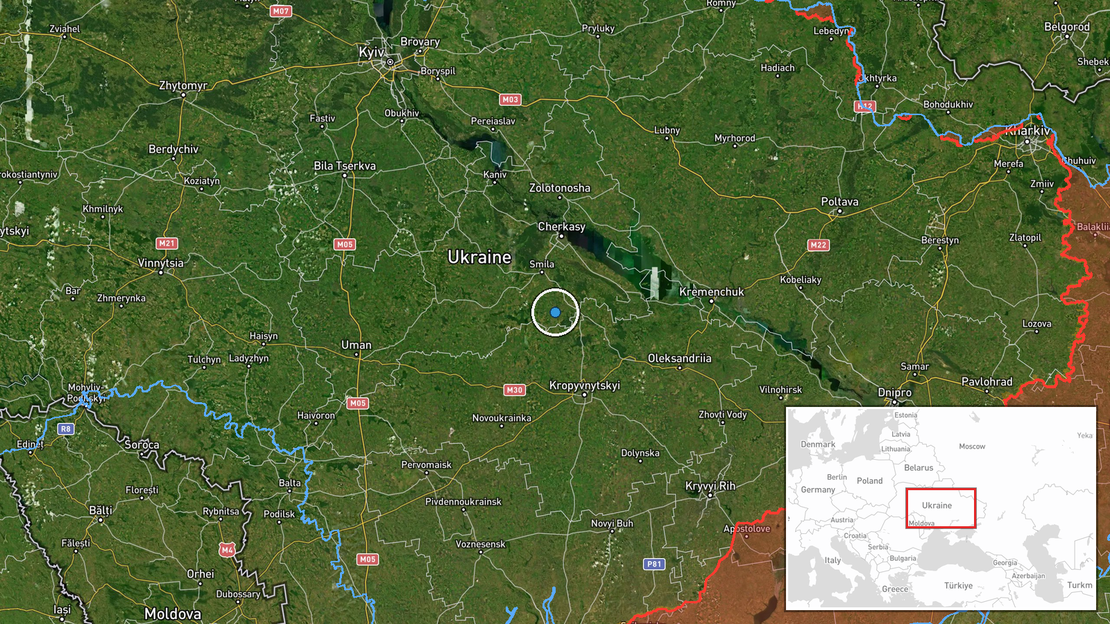
Ukraine-wide assessment. Primary threat areas identified: seven oblasts across central (Kyiv, Zhytomyr, Rivne, Volyn), eastern (Dnipropetrovsk, Kharkiv), and southern (Odesa) Ukraine. Russian positioning noted in western Russian border regions: Bryansk, Kursk, Voronezh, and Rostov—all located between 300 and 800 kilometers east of the Ukrainian border.
Related events nearby
- General Staff Ukraine reports 1,662nd day of Russian invasion. Over 24 hours: 237 combat clashes across multip2026-09-12 05:07 UTC · Combat · Cherkasy Oblast, Ukraine
- Ukraine's air defense system shot down/suppressed 336 of 410 Russian attack drones (including 23 of 37 reactiv2026-09-12 15:37 UTC · Air Defense · Ukraine (nationwide air defense operations)
▶ View this event on the live map
Intel Mapper aggregates open-source reports from monitored Telegram and X channels, geolocates them, cross-checks duplicates across sources and assigns a confidence score. Entries are updated as new confirmations arrive. Read how we verify events.