Russian Shahed-variant drone transits over Kropyvnytskyi in central Ukraine
What happened
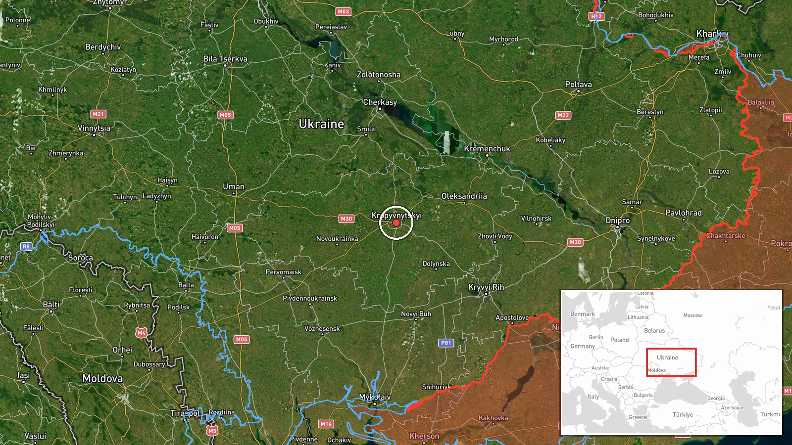
A Russian jet-powered Shahed-variant kamikaze drone was reported transiting over Kropyvnytskyi, the regional capital of Kirovohrad Oblast in central Ukraine, on 16 September at approximately 16:57 UTC. An air raid alert was issued for the city. The drone was detected in passage over the settlement rather than engaging a specific target at the time of the report.
Context and assessment
Kropyvnytskyi lies roughly 350 kilometres south-southwest of Kyiv and serves as a significant administrative and logistical hub in central Ukraine. Shahed-variant drones have been a persistent feature of Russian strikes across Ukrainian territory, particularly targeting infrastructure and urban centres. Drone transits over major population centres often precede or accompany wider attack waves. The detection of a single airframe over the city without immediate reported impact suggests either interception, continued transit toward another objective, or a reconnaissance pass. Such incidents reflect Russia's continued aerial operations deep within Ukrainian-controlled territory.
Sources and confidence
Reported by Telegram channel @war_monitor on 16 September. Single source confirmation limits confidence; cross-verification from Ukrainian air defence or additional open-source channels would strengthen the assessment. Confidence score of 6.0 reflects typical reliability of the source but absence of corroborating reports. Secondary confirmation from official Ukrainian sources or visible impact assessment would raise confidence materially.
Location
Kropyvnytskyi, a city of approximately 225,000 inhabitants, is the administrative centre of Kirovohrad Oblast in south-central Ukraine. The settlement is positioned roughly 350 kilometres south of Kyiv and approximately 180 kilometres north of the front line in Donetsk Oblast. Coordinates place the report directly over the urban area.
▶ View this event on the live map
Intel Mapper aggregates open-source reports from monitored Telegram and X channels, geolocates them, cross-checks duplicates across sources and assigns a confidence score. Entries are updated as new confirmations arrive. Read how we verify events.