Russian Shahed drone transits toward Kyiv; air raid alert issued
What happened
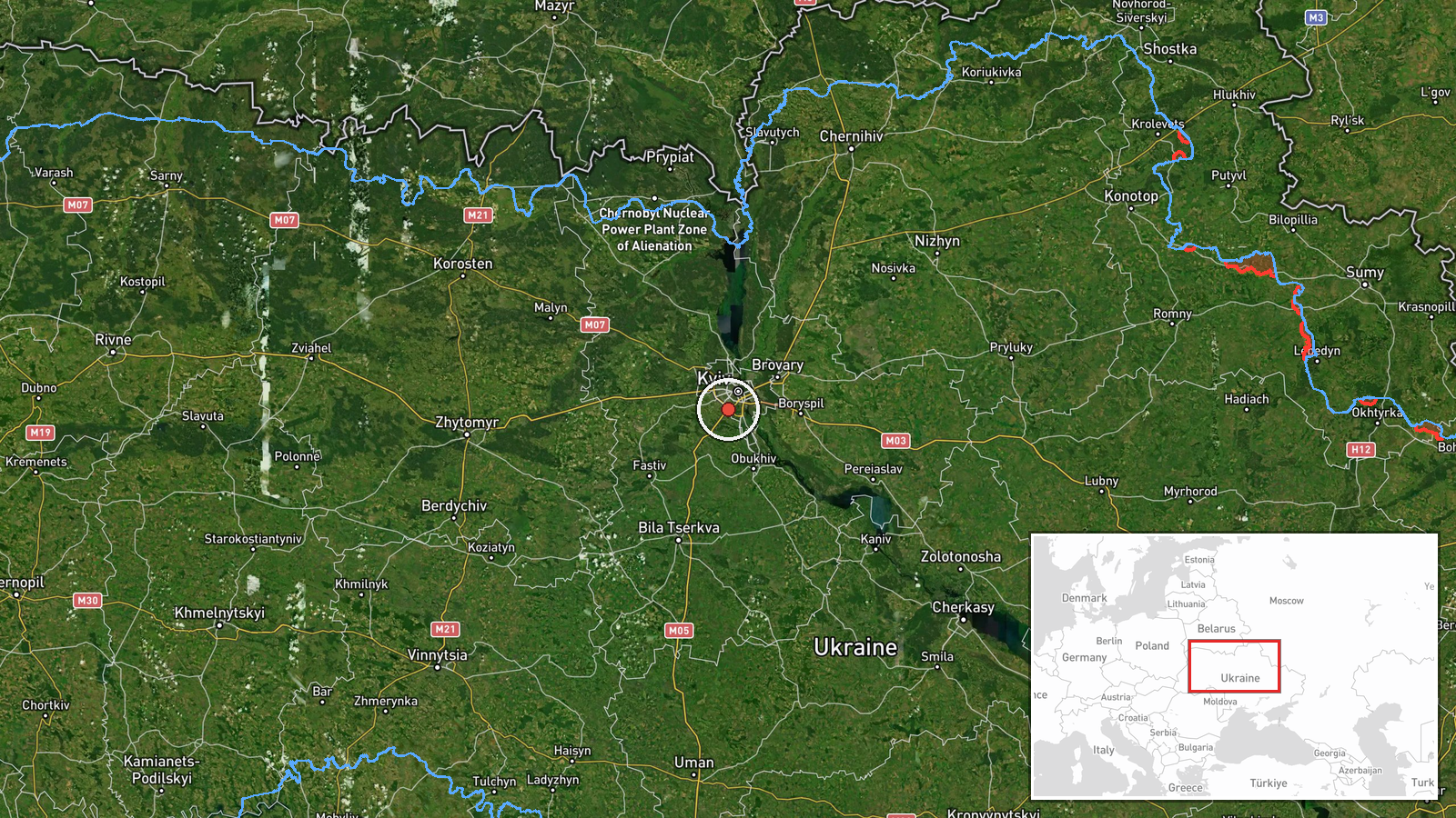
A single Russian jet-powered Shahed-variant kamikaze drone was detected transiting toward Zhulany in southwestern Kyiv at approximately 3.7 kilometers altitude on September 16 at 17:03 UTC, according to Telegram channel @war_monitor. An air raid alert was issued in response. The drone's trajectory and intended target remain unclear from the available report.
Context and assessment
Zhulany is home to one of Kyiv's major civil aviation facilities and lies within the densely populated southwestern suburbs of the capital. This transit occurred amid a broader wave of Russian drone and missile activity targeting Kyiv on September 16, with multiple Shahed-136 drones reportedly approaching from various directions that evening. The attack reflects the persistent Russian campaign to strike Ukrainian infrastructure and civilian areas; Ukrainian leadership has recently emphasized its own strikes on Russian oil facilities as a strategic response. The targeting pattern suggests continued Russian attempts to degrade Kyiv's military and logistical capacity while testing air defense coverage.
Sources and confidence
Reported exclusively by Telegram channel @war_monitor (@war_monitor), a widely monitored open-source tracking account. Confidence score of 6.0 reflects single-source reporting without independent cross-confirmation. Corroboration from official Ukrainian air defense statements or secondary OSINT channels would strengthen confidence. Any damage assessment or interception claim would significantly elevate reliability.
Location
Teremky and Zhulany are settlements in southwestern Kyiv, approximately 12 kilometers from the city center. The drone was detected at 3.7 km altitude while transiting the area. Zhulany Airport, a major civilian aviation hub, is a notable nearby facility. The coordinates place the observation near the administrative boundary between Kyiv city and surrounding residential districts.
Related events nearby
- Ukrainian air defense alert: suspected ballistic missile (Iskander/S-400) launch or S-300 air defense activity2026-09-15 19:14 UTC · Siren · Kyiv, Ukraine
- Air raid alert issued across Kyiv and Kyiv Oblast. Multiple Russian jet-powered Shahed-136 kamikaze drones tra2026-09-16 17:08 UTC · Siren · Kyiv, Kyiv City, Ukraine
- President Zelensky declares Ukraine will continue striking Russian oil infrastructure, estimating annual costs2026-09-16 09:47 UTC · Statement · Kyiv, Ukraine
- Ukrainian President Zelensky warns Putin that stopping the war now would not constitute victory and suggests P2026-09-16 07:03 UTC · Statement · Kyiv, Ukraine
- Ukrainian Armed Forces General Staff honors emergency rescue workers (DESNZ) killed protecting civilians under2026-09-16 04:34 UTC · Statement · Kyiv, Ukraine
▶ View this event on the live map
Intel Mapper aggregates open-source reports from monitored Telegram and X channels, geolocates them, cross-checks duplicates across sources and assigns a confidence score. Entries are updated as new confirmations arrive. Read how we verify events.