Five Russian Shahed drones tracked transiting through central Poltava Oblast toward Kremenchuk
What happened
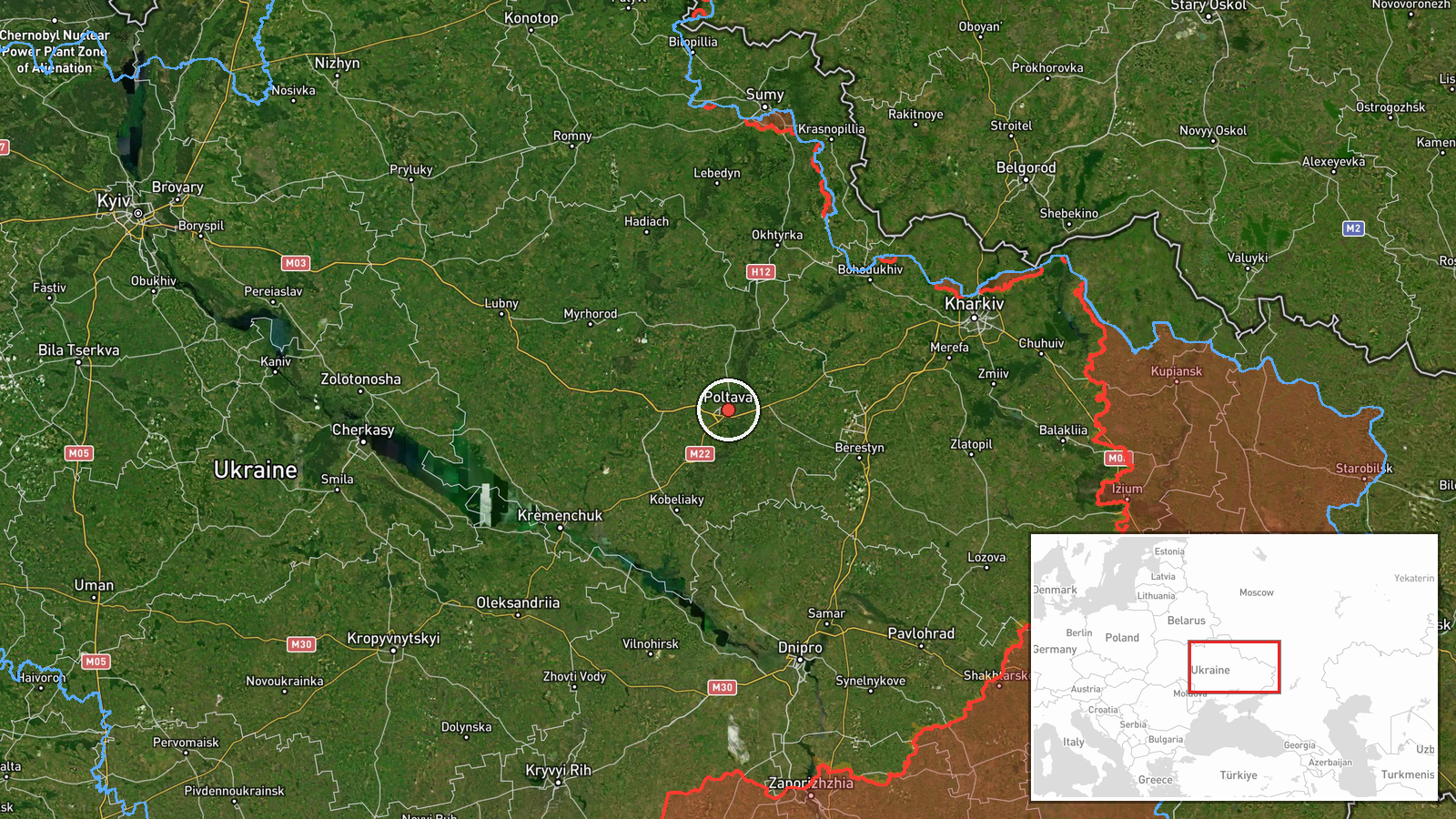
Ukrainian air defense monitoring detected five Russian Shahed-136 jet-powered drones moving eastward through Poltava Oblast on 18 September at 14:12 UTC. The drones transited near the settlements of Pavlograd, Tsarichanka, and Kobelyaky, with their trajectory reportedly oriented toward Kremenchuk district. No impact or interception was reported in the available monitoring data.
Context and assessment
Kremenchuk district lies in central-eastern Poltava Oblast and hosts critical infrastructure including a major oil refinery and industrial facilities that have been repeated Russian strike targets. This drone transit follows an overnight Russian attack on 18 September in which Ukrainian air defense engaged 93 total drones across multiple fronts, suggesting sustained Russian pressure on central Ukrainian logistics and production centers. The persistence of drone operations despite high nightly interception rates indicates Russia continues attempting to reach targets in this region through varied launch times and routing.
Sources and confidence
Reported by Telegram channel @war_monitor on 18 September. Single-source reporting limits confidence; no cross-confirmation from official Ukrainian military channels or independent verification of drone count or trajectory. Confidence score of 6.0 reflects plausible operational pattern matching recent attack cycles but absence of secondary corroboration. Independent satellite or additional monitoring channel confirmation would strengthen assessment.
Location
Central Poltava Oblast, determined through named settlements (Pavlograd, Tsarichanka, Kobelyaky) along drone transit vector. Region is approximately 250 km southeast of Kyiv and 50 km west of Kremenchuk. Relatively flat industrial and agricultural terrain; proximity to Dnipro River and major Soviet-era manufacturing hubs.
▶ View this event on the live map
Intel Mapper aggregates open-source reports from monitored Telegram and X channels, geolocates them, cross-checks duplicates across sources and assigns a confidence score. Entries are updated as new confirmations arrive. Read how we verify events.