Russian reactive drone detected transiting toward Obukhiv in Kyiv Oblast
What happened
Ukrainian air monitoring detected one Russian reactive, jet-powered unmanned aerial vehicle transiting toward the Obukhiv sector in Kyiv Oblast on the night of 19 September at 01:46 UTC. The drone was confirmed by Ukrainian air defense monitoring systems. No impact or interception has been reported as of the detection time. The detection adds to a pattern of ongoing Russian drone operations across the Kyiv region.
Context and assessment
Obukhiv lies approximately 35 kilometers south of central Kyiv and serves as a logistics hub with rail connections and civilian infrastructure. The detection follows Ukrainian air defense assessments from 18 September indicating possible additional drone launches from northern and southern approach corridors despite low overall strike threat forecasts. Two similar reactive drone transits were logged in adjacent sectors of Kyiv Oblast within the prior 24 hours—toward Myronivka-Kagarlyk and toward Brovary—suggesting a sustained campaign to probe or strike targets in the region's southern and eastern approaches. Such transits may indicate reconnaissance, infrastructure targeting, or attempts to saturate air defenses.
Sources and confidence
Reported solely by Telegram channel @war_monitor. Single-source reporting lowers confidence to 6.0; cross-confirmation from Ukrainian official air defense statements or independent monitors would strengthen assessment. Confidence level reflects detection credibility balanced against lack of independent corroboration of this specific event. Official Ukrainian air defense statements on the same night provide contextual support for ongoing drone threat.
Location
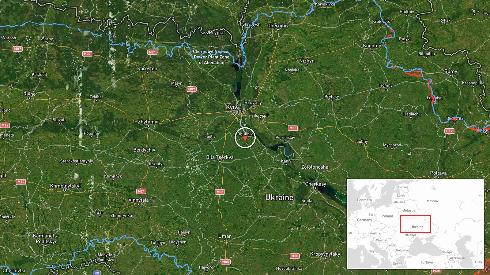
Obukhiv is a city in Kyiv Oblast, approximately 35 kilometers south-southwest of central Kyiv, situated along major north-south transport corridors. The settlement is positioned in relatively open terrain between the Dnieper River to the west and forested areas to the east, making it a logical transit point and potential target for Russian drone operations targeting the greater Kyiv region.
Related events nearby
- Ukrainian air defense monitoring system issues ongoing ballistic missile and cruise missile threat alerts acro2026-09-18 16:41 UTC · Siren · Kyiv Oblast, Ukraine
- Ukrainian air defense assessment for night of 19 September: strategic aviation inactive, low UAV strike threat2026-09-18 19:23 UTC · Statement · Kyiv, Ukraine
- President Zelensky emphasizes the importance of open dialogue and mature partnership between Ukraine and Weste2026-09-18 13:45 UTC · Statement · Kyiv, Ukraine
- Two Russian Shahed-136 reactive drones detected transiting toward Myronivka / Kagarlyk sector in Kyiv Oblast. 2026-09-18 15:24 UTC · Drone Transit · Myronivka / Kagarlyk sector, Kyiv Oblast, Ukraine
- Ukrainian air defense monitoring detected 2 Russian reactive (jet-powered Shahed-136 variant) drones transitin2026-09-18 21:00 UTC · Drone Transit · En route: Kipti, Chernihiv Oblast → Kyiv Oblast, U
▶ View this event on the live map
Intel Mapper aggregates open-source reports from monitored Telegram and X channels, geolocates them, cross-checks duplicates across sources and assigns a confidence score. Entries are updated as new confirmations arrive. Read how we verify events.