Russian Shahed drone tracked en route to Odesa region
What happened
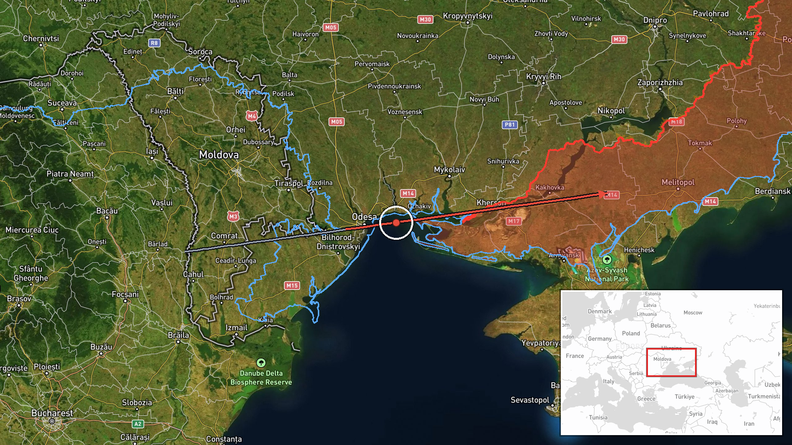
Ukrainian air monitoring detected one Russian Shahed-class jet-powered unmanned aerial vehicle in transit between Mayaki and Odesa in Odesa Oblast on 19 September at 04:47 UTC. The drone was observed but no immediate attack or impact was reported. The detection was reported via Telegram by a single monitoring channel tracking ongoing Russian air operations against Ukrainian territory.
Context and assessment
Odesa Oblast, Ukraine's primary Black Sea port region, remains under sustained Russian drone pressure as part of a broader campaign targeting civilian and military infrastructure. This sighting follows a similar detection of a reactive Shahed-136 transiting over Zaporizhzhia city the previous day, suggesting continued Russian efforts to probe Ukrainian air defenses along multiple axes. Such transit detections indicate ongoing reconnaissance or potential targeting operations, though individual drone movements do not necessarily precede imminent strikes. The pattern reflects Russia's persistent use of Shahed drones for both psychological pressure and intelligence gathering.
Sources and confidence
Reported by Telegram channel @war_monitor, a single source with no cross-confirmation visible in available data. Confidence score of 6.0 reflects the single-source nature and lack of corroboration from official Ukrainian or independent verification. Confirmation from additional monitoring channels or official statements would increase confidence; absence of follow-up impact reports neither confirms nor negates the initial sighting.
Location
Mayaki is located in Zaporizhzhia Oblast (coordinates 46.877°N, 35.115°E); the drone's reported transit path extended toward Odesa city approximately 180 kilometers southwest. The region is flat, open steppe with limited natural air defense shelter, making drone detection and interdiction challenging for Ukrainian forces.
Related events nearby
- One Russian reactive (jet-powered Shahed-136) drone detected transiting over Zaporizhzhia city. Ukrainian air 2026-09-18 15:02 UTC · Drone Transit · Zaporizhzhia, Zaporizhzhia Oblast, Ukraine
▶ View this event on the live map
Intel Mapper aggregates open-source reports from monitored Telegram and X channels, geolocates them, cross-checks duplicates across sources and assigns a confidence score. Entries are updated as new confirmations arrive. Read how we verify events.