Russian Shahed drones launched from Oryol Oblast
What happened
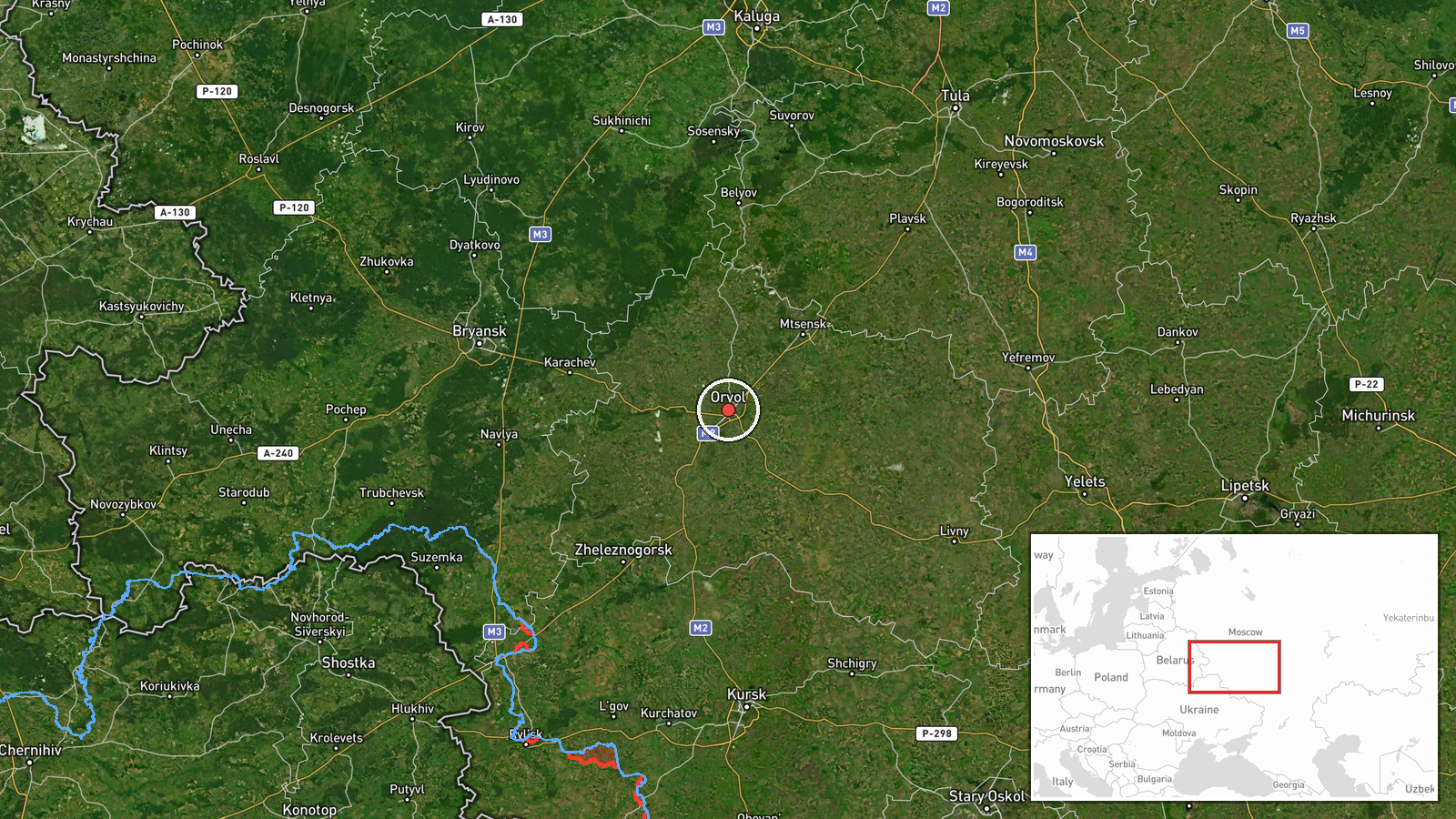
Russian jet-powered Shahed-class kamikaze drones were detected launching from Oryol Oblast in western Russia on September 19 at 16:42 UTC, according to the Telegram channel @war_monitor. The report indicates drones were in transit but does not specify a target or confirm any impact. The exact number of drones launched was not detailed in the available reporting.
Context and assessment
Oryol Oblast, located approximately 400 kilometers southwest of Moscow, has served as a consistent launch point for Russian long-range drone operations against Ukrainian targets throughout the conflict. Shahed-class drones, which are loitering munitions with a reported range of 1,500–2,500 kilometers, are regularly employed in strikes on Ukrainian infrastructure, particularly energy facilities and civilian areas. Launches from this region typically indicate strikes directed toward central or eastern Ukraine, though transit detection does not confirm final targets or outcomes.
Sources and confidence
The report originated from a single Telegram channel, @war_monitor, with no cross-confirmation noted in available data. The confidence score of 6.0 reflects the single-source basis and lack of target confirmation. Corroboration from Ukrainian air defense statements or secondary reporting channels would strengthen confidence; visual or intelligence confirmation of impact would provide fuller context.
Location
Oryol Oblast is a region in western Russia, approximately 350 kilometers south-southwest of Moscow. The coordinates indicate a location within the oblast. The region borders Ukraine to the south and has emerged as a major staging area for Russian drone and missile operations due to its proximity to Ukrainian airspace.
▶ View this event on the live map
Intel Mapper aggregates open-source reports from monitored Telegram and X channels, geolocates them, cross-checks duplicates across sources and assigns a confidence score. Entries are updated as new confirmations arrive. Read how we verify events.