Russian Shahed drone detected en route to Lubny in Poltava Oblast
What happened
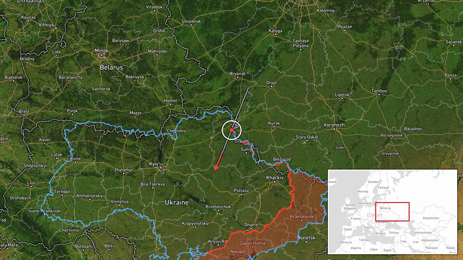
A Russian Shahed-type reactive (jet-powered) unmanned aerial vehicle was detected transiting from Romny toward Lubny in Poltava Oblast on 20 September at approximately 15:19 UTC. Ukrainian air-monitoring channels issued an alert as the drone flew along its course. No impact or interception was reported in the available information. The drone type—identified as a reactive Shahed variant—indicates a medium-range kamikaze system, though the transit detection itself does not confirm a successful strike.
Context and assessment
Lubny lies in central Poltava Oblast along the Sula River, a key logistical area in Ukraine's rear. This sighting fits an established pattern of Russian drone strikes across Poltava in recent days: a Shahed-class drone transited past Kremenchuk on 19 September, and a separate reactive drone was detected heading toward Cherkasy on 20 September morning. These incidents suggest sustained Russian unmanned operations targeting settlements and infrastructure in the Poltava and Cherkasy regions, likely aimed at degrading Ukrainian civilian and military supply lines. The repetition of such transits within 24 hours indicates either a deliberate campaign or ongoing reconnaissance and strike attempts across the oblast.
Sources and confidence
Reported solely by Telegram channel @war_monitor on 20 September. No cross-confirmation from other Ukrainian official channels or independent sources is noted. Confidence is moderate (6.0/10) due to single-source reporting and lack of impact verification. Confirmation from multiple monitoring channels or official Ukrainian air force statements would raise confidence; imagery or interception data would strengthen assessment further.
Location
Lubny is a city in central Poltava Oblast, approximately 200 kilometres east of Kyiv, situated on the Sula River. Romny, the reported origin point, lies roughly 40 kilometres northwest. The settlement-level precision reflects known urban coordinates; the trajectory suggests a westward flight path across relatively flat terrain typical of central Ukrainian steppe.
Related events nearby
- One Russian reactive (jet-powered) Shahed-136 variant drone detected transiting toward Cherkasy/Smila sector. 2026-09-20 02:39 UTC · Drone Transit · Cherkasy, Cherkasy Oblast, Ukraine
▶ View this event on the live map
Intel Mapper aggregates open-source reports from monitored Telegram and X channels, geolocates them, cross-checks duplicates across sources and assigns a confidence score. Entries are updated as new confirmations arrive. Read how we verify events.