Russian Shahed-136 drones tracked across central and northern Ukraine
What happened
Ukrainian air monitoring reportedly detected seven Russian Shahed-136 kamikaze drones in transit across multiple regions on 23 September at 00:45 UTC. One drone headed toward Vinnytsia Oblast; one crossed Kirovohrad District on a westerly course; three transited through Poltava District toward Cherkasy and Luhansk Districts; two flew over Chernihiv Oblast toward Kyiv Oblast. No impact locations were specified in the report, and drones remained in flight at the time of detection.
Context and assessment
The Shahed-136, a loitering munition of Iranian design, has become a recurring instrument in Russia's strikes against Ukrainian infrastructure and military targets since 2022. The reported trajectories suggest multiple intended targets across central Ukraine's industrial heartland and approaches to the capital region. Poltava District has experienced frequent drone activity; Cherkasy and Luhansk Districts remain contested or supply-critical areas. A related detection on 22 September tracked four similar drones toward Vinnytsia, suggesting a pattern of sustained pressure. The geographic spread—from south-central Kirovohrad through Poltava to Chernihiv—indicates either coordinated multi-target strikes or a deliberate routing to saturate air defenses across a wide corridor.
Sources and confidence
Single-source report from Telegram channel @war_monitor. No cross-confirmation from other Ukrainian official channels or independent verification noted. Confidence score of 6.0 reflects the single-source baseline and absence of confirmed impacts. Score would rise with secondary confirmation from air force statements or damage reports; it would lower if subsequent impacts contradicted the reported flight paths.
Location
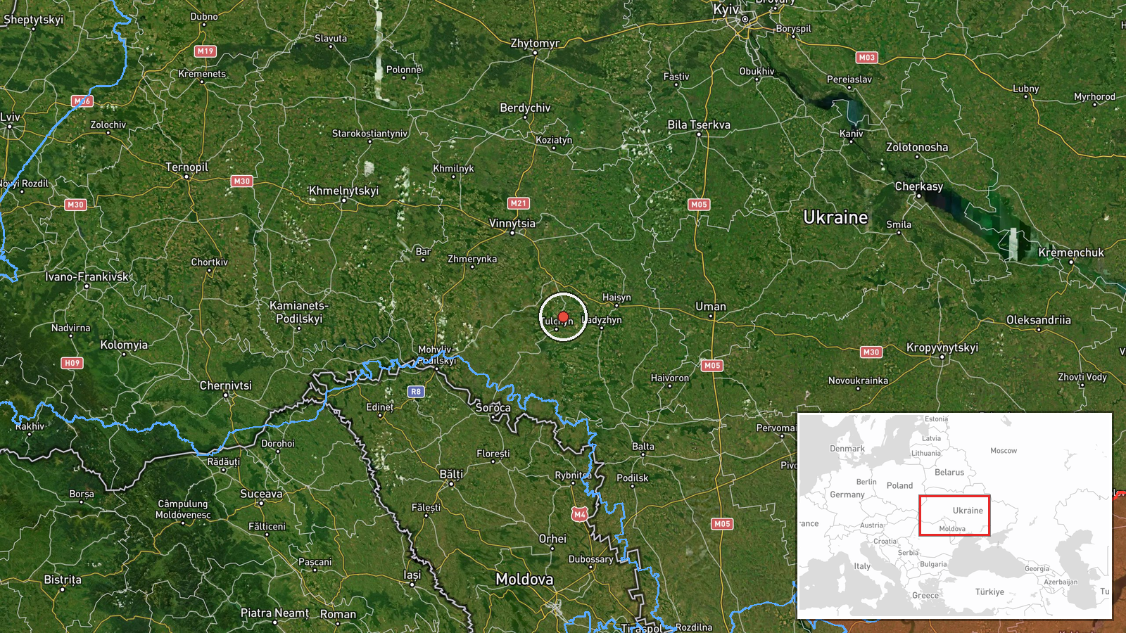
Detection locations span five Ukrainian regions: Vinnytsia (western central), Kirovohrad (south-central), Poltava (east-central), Cherkasy (central), and Chernihiv (north). These represent transit corridors rather than impact points. The geographic spread covers approximately 400 kilometers east–west and reflects the drone routes as monitored by Ukrainian air surveillance systems.
Related events nearby
- Ukrainian air monitoring detected four Russian Geran-5 (Shahed-136 variant) reactive drones in transit toward 2026-09-22 03:29 UTC · Drone Transit · Vinnytsia Oblast, Ukraine
▶ View this event on the live map
Intel Mapper aggregates open-source reports from monitored Telegram and X channels, geolocates them, cross-checks duplicates across sources and assigns a confidence score. Entries are updated as new confirmations arrive. Read how we verify events.