Three Russian Shahed-136 drones tracked toward Kyiv Oblast from Bryansk
What happened
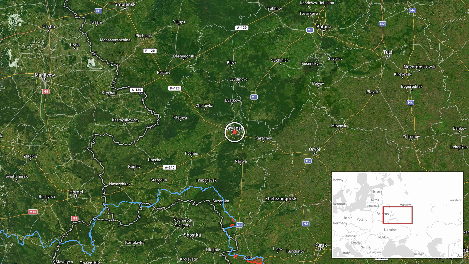
Three Russian Shahed-136 attack drones were detected in transit from Bryansk Oblast on the morning of 23 September, reportedly passing near Slavutych while heading toward Kyiv Oblast. The drones remained airborne at the time of reporting; no impacts had been recorded. The report originated from a Ukrainian monitoring channel tracking Russian air activity.
Context and assessment
Shahed-136 drones represent a sustained Russian capability for mass strikes against Ukrainian infrastructure and populated areas. The routing through Bryansk Oblast reflects a typical launch pattern for strikes aimed at the Kyiv region. This transit follows recent Ukrainian strikes on Russian drone storage and preparation facilities, including a reported attack on a facility near Tsimbulatovo in Orel Oblast on 21 September. Such drone transits toward Kyiv have been frequent throughout the conflict, suggesting continued Russian intent to conduct strikes despite Ukrainian air defenses and offensive disruption efforts against launch sites.
Sources and confidence
Reported by Telegram channel @war_monitor on 23 September. Single-source report with no cross-confirmation from other monitoring channels. Confidence reflects typical detection reliability for drone transit observations but limited corroboration. Confirmation of actual impact or interdiction would raise confidence; evidence of successful Ukrainian air defense engagement would be material.
Location
Bryansk Oblast, western Russia, serves as a known launch point for Shahed operations. The drones tracked passage near Slavutych, a settlement in northern Kyiv Oblast approximately 50 km north of Kyiv city, before continuing southward. Slavutych lies near the Chornobyl exclusion zone and functions as a geographic marker for drone routes toward the capital region.
Related events nearby
- President Zelensky claims China pragmatically shares technology with Russia for mutual strategic benefit, not 2026-09-23 05:12 UTC · Statement · Kyiv, Ukraine
- All-clear signal issued for Kyiv and Kyiv Oblast after air raid. No new reactive (jet-motorized Shahed-136) dr2026-09-23 06:14 UTC · Siren · Kyiv, Kyiv Oblast, Ukraine
- Ukrainian air defense destroyed/suppressed 122 enemy targets (119 Shahed/Geran drones, 3 cruise missiles) duri2026-09-23 05:34 UTC · Report · Central Ukraine
- Russian Shahed-136 kamikaze drone detected in transit over Boyarka toward Krukovshchyna area, Kyiv Oblast. No 2026-09-23 00:06 UTC · Drone Transit · Boyarka, Kyiv Oblast, Ukraine
- Russian Shahed-136 reactive (jet-motorized) kamikaze drone detected in transit over Lukyyanivka/Shulyavka dist2026-09-23 04:26 UTC · Drone Transit · Lukyyanivka District, Kyiv, Ukraine
▶ View this event on the live map
Intel Mapper aggregates open-source reports from monitored Telegram and X channels, geolocates them, cross-checks duplicates across sources and assigns a confidence score. Entries are updated as new confirmations arrive. Read how we verify events.