Russian Shahed-136 drone detected transiting over Kirovohrad Oblast westward
What happened
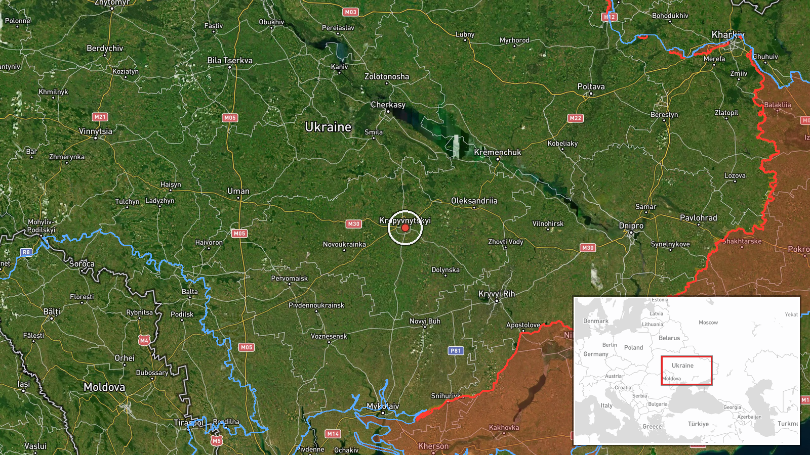
A single Russian Shahed-136 reactive drone was detected in flight over Kirovohrad District, Kirovohrad Oblast, on the morning of 23 September at approximately 04:43 UTC, traveling westward at high altitude. The drone remained in transit at the time of reporting; no impact or interception was reported. The observation was logged by the Telegram channel @war_monitor.
Context and assessment
Kirovohrad Oblast lies in central Ukraine and serves as a transit corridor for Russian drone operations targeting western and southwestern regions. The westward heading suggests the drone was likely aimed at infrastructure or military positions in Dnipropetrovsk, Zaporizhzhia, or further west. This sighting follows a reported overnight barrage on 21–22 September in which Ukraine's air defense claimed to neutralize or suppress 186 Russian targets, including cruise missiles and drones. Repeated detections of transiting drones indicate sustained Russian efforts to maintain pressure on Ukrainian targets despite ongoing air defense operations.
Sources and confidence
Reported by a single Telegram channel (@war_monitor) specializing in conflict monitoring. The confidence score of 6.0 reflects the single-source reporting and lack of independent cross-confirmation. Confirmation by Ukrainian air defense or additional channels would strengthen confidence; absence of any impact claim or intercept report may indicate the drone transited without engagement or was not tracked to conclusion.
Location
Kirovohrad District in Kirovohrad Oblast, central Ukraine, centered approximately at 48.51°N, 32.27°E. Precision is regional rather than point-specific. The oblast is located inland, roughly 300 kilometers southeast of Kyiv and west of the Dnipro River, serving as part of Ukraine's central transportation and industrial corridor.
▶ View this event on the live map
Intel Mapper aggregates open-source reports from monitored Telegram and X channels, geolocates them, cross-checks duplicates across sources and assigns a confidence score. Entries are updated as new confirmations arrive. Read how we verify events.