Shahed-type drone reported descending near Kyiv; air defense alert in effect
What happened
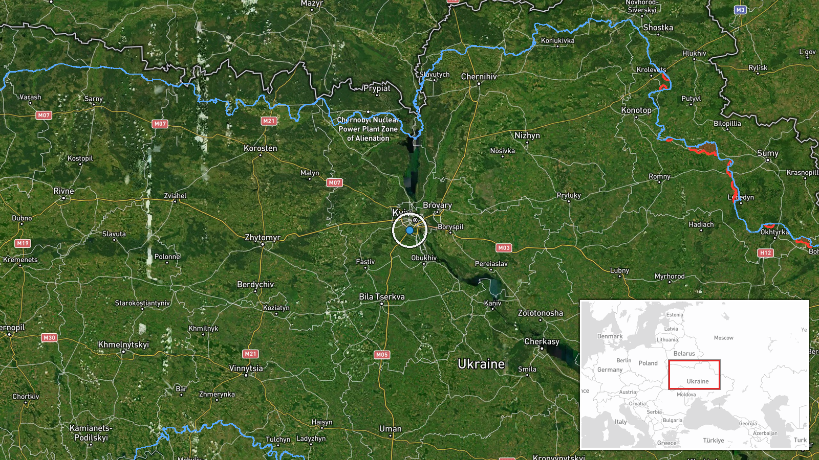
A P-1 class unmanned aircraft, reportedly of Shahed design, was detected descending and reducing altitude to approximately 3 kilometers near Sireć in Kyiv region on 23 September at 11:21 UTC. The drone was tracked returning toward the Teremky area. The alert was issued by the Ukrainian monitoring channel @war_monitor on Telegram, following an air raid warning activated in Sireć and surrounding settlements minutes earlier at 11:14 UTC.
Context and assessment
The sighting occurred during an active air threat period in Kyiv region, with air raid sirens deployed across Sireć and Kryukivshchyna at 11:14 UTC. Earlier intelligence reports on 23 September indicated Russian strike planners were assessing targets in Kyiv and Kyiv Oblast, including infrastructure facilities. The detection of a descending Shahed-type drone suggests either an ongoing attack attempt or interception by Ukrainian air defenses. Shahed drones, primarily designed as cruise missiles, are a persistent component of Russian strike campaigns against Ukrainian population centers and critical infrastructure. The pattern aligns with reported Russian targeting of rail networks and power systems in the capital region.
Sources and confidence
Single source: Telegram channel @war_monitor, a recognized Ukrainian OSINT monitor. Corroborated indirectly by the near-simultaneous air raid alert in Sireć (11:14 UTC, same channel ecosystem). Confidence score of 6.0 reflects single-source reporting of the specific drone sighting; the air threat itself is independently confirmed. Score would increase with secondary confirmation from official Ukrainian air force statements or multiple independent channels.
Location
Sireć and Teremky, both settlements in Kyiv Oblast on the eastern and northeastern periphery of Kyiv city proper. Sireć lies approximately 15–20 kilometers northeast of central Kyiv; Teremky is a residential district further north. The area is typical of suburban Kyiv's mixed residential and transport infrastructure zones. Precision set to settlement level based on named localities in the original report.
Related events nearby
- President Zelensky assesses the battlefield situation negatively for Putin, noting Russia makes no territorial2026-09-23 11:30 UTC · Statement · Kyiv, Ukraine
- Ukrainian President Zelensky requests new winter military package from Trump, including Patriot air defense sy2026-09-23 08:38 UTC · Statement · Kyiv, Ukraine
- President Zelensky claims China pragmatically shares technology with Russia for mutual strategic benefit, not 2026-09-23 05:12 UTC · Statement · Kyiv, Ukraine
- Intelligence source linked to SBU reports potential Russian strike targets in Kyiv and Kyiv Oblast, including 2026-09-23 09:11 UTC · Report · Kyiv, Kyiv Oblast, Ukraine
- All-clear signal issued for Kyiv and Kyiv Oblast after air raid. No new reactive (jet-motorized Shahed-136) dr2026-09-23 06:14 UTC · Siren · Kyiv, Kyiv Oblast, Ukraine
▶ View this event on the live map
Intel Mapper aggregates open-source reports from monitored Telegram and X channels, geolocates them, cross-checks duplicates across sources and assigns a confidence score. Entries are updated as new confirmations arrive. Read how we verify events.